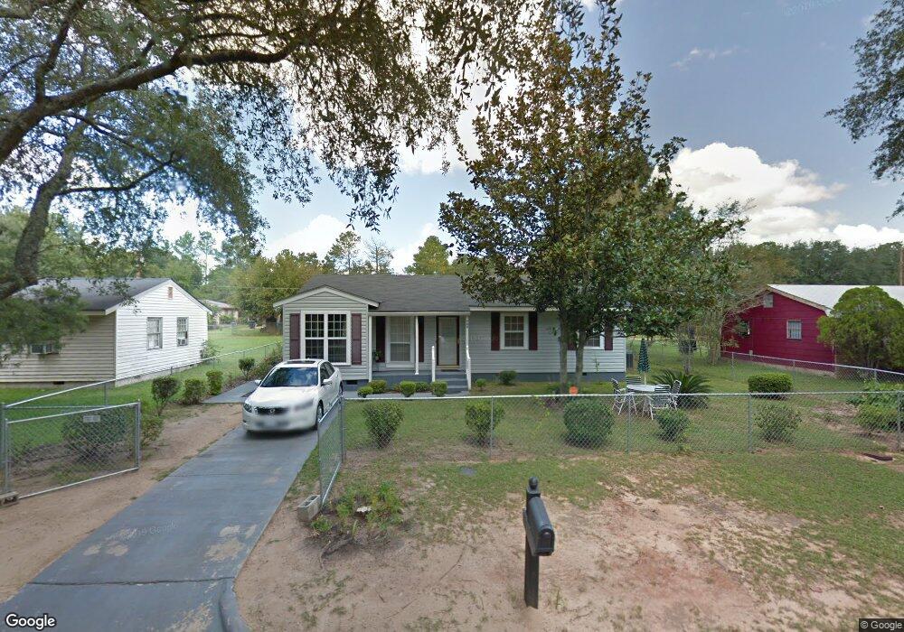
709 Cantrell Ln Albany, GA 31705
Estimated Value: $79,000 - $83,000
3
Beds
1
Bath
1,210
Sq Ft
$67/Sq Ft
Est. Value
About This Home
This home is located at 709 Cantrell Ln, Albany, GA 31705 and is currently estimated at $81,067, approximately $66 per square foot. 709 Cantrell Ln is a home located in Dougherty County with nearby schools including Robert H. Harvey Elementary School, Albany Middle School, and Dougherty Comprehensive High School.
Ownership History
Date
Name
Owned For
Owner Type
Purchase Details
Closed on
Nov 1, 2010
Sold by
Estate Of John Edwards Hooks
Bought by
Hooks Diane W
Current Estimated Value
Purchase Details
Closed on
May 21, 2008
Sold by
Hooks John E
Bought by
Hooks Diane W
Purchase Details
Closed on
May 7, 2008
Sold by
Hooks Diane W
Bought by
Hooks John E
Purchase Details
Closed on
Nov 13, 1998
Sold by
Farmer Lonnie B
Bought by
Hooks Diane W and Hooks John E
Purchase Details
Closed on
Nov 9, 1998
Sold by
Farmer Lonnie B
Bought by
Farmer Lonnie B
Purchase Details
Closed on
Apr 21, 1987
Sold by
Robinson R E
Bought by
Farmer Grace and Farmer
Create a Home Valuation Report for This Property
The Home Valuation Report is an in-depth analysis detailing your home's value as well as a comparison with similar homes in the area
Home Values in the Area
Average Home Value in this Area
Purchase History
| Date | Buyer | Sale Price | Title Company |
|---|---|---|---|
| Hooks Diane W | -- | -- | |
| Hooks Diane W | $19,250 | -- | |
| Hooks Diane W | -- | -- | |
| Hooks John E | -- | -- | |
| Hooks Diane W | -- | -- | |
| Farmer Lonnie B | -- | -- | |
| Farmer Grace | -- | -- |
Source: Public Records
Tax History Compared to Growth
Tax History
| Year | Tax Paid | Tax Assessment Tax Assessment Total Assessment is a certain percentage of the fair market value that is determined by local assessors to be the total taxable value of land and additions on the property. | Land | Improvement |
|---|---|---|---|---|
| 2024 | -- | $20,496 | $1,840 | $18,656 |
| 2023 | $0 | $20,496 | $1,840 | $18,656 |
| 2022 | $889 | $20,496 | $1,840 | $18,656 |
| 2021 | $889 | $20,496 | $1,840 | $18,656 |
| 2020 | $891 | $20,496 | $1,840 | $18,656 |
| 2019 | $898 | $20,496 | $1,840 | $18,656 |
| 2018 | $0 | $20,496 | $1,840 | $18,656 |
| 2017 | $0 | $20,496 | $1,840 | $18,656 |
| 2016 | -- | $20,496 | $1,840 | $18,656 |
| 2015 | -- | $20,496 | $1,840 | $18,656 |
| 2014 | -- | $20,496 | $1,840 | $18,656 |
Source: Public Records
Map
Nearby Homes
- 807 Hobson St
- 1001 Hobson St
- 1013 Exeter Dr
- 1003 E Residence Ave
- 1017 E Roosevelt Ave
- 1007 Swift St
- 1107 E 4th Ave
- 1219 Bonnyview Ave
- 1323 E Society Ave
- 1318 E Roosevelt Ave
- 910 N Jackson St
- 1410 E Roosevelt Ave
- 507 N Jackson St
- 1418 E Roosevelt Ave
- 205 Collins St
- 804 N Jefferson St
- 303 6th Ave
- 211 Collins St
- 305 6th Ave
- 210 S Carroll St
- 711 Cantrell Ln
- 707 Cantrell Ln
- 713 Cantrell Ln
- 705 Cantrell Ln
- 708 Dartmouth Ln
- 706 Dartmouth Ln
- 710 Dartmouth Ln
- 708 Cantrell Ln
- 704 Dartmouth Ln
- 706 Cantrell Ln
- 715 Cantrell Ln
- 710 Cantrell Ln
- 703 Cantrell Ln
- 712 Dartmouth Ln
- 704 Cantrell Ln
- 712 Cantrell Ln
- 702 Dartmouth Ln
- 702 Cantrell Ln
- 701 Cantrell Ln
- 717 Cantrell Ln