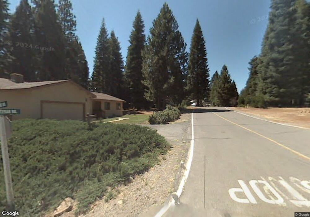
709 Clifford Dr Unit 20 Lake Almanor, CA 96137
Estimated Value: $424,285 - $511,000
3
Beds
2
Baths
1,583
Sq Ft
$295/Sq Ft
Est. Value
About This Home
This home is located at 709 Clifford Dr Unit 20, Lake Almanor, CA 96137 and is currently estimated at $467,071, approximately $295 per square foot. 709 Clifford Dr Unit 20 is a home located in Plumas County.
Ownership History
Date
Name
Owned For
Owner Type
Purchase Details
Closed on
Nov 21, 2016
Sold by
Loubier Gloria M and Loubier Family Trust
Bought by
Elliott Paul and Elliott Jayne
Current Estimated Value
Home Financials for this Owner
Home Financials are based on the most recent Mortgage that was taken out on this home.
Original Mortgage
$180,000
Interest Rate
3.47%
Mortgage Type
New Conventional
Create a Home Valuation Report for This Property
The Home Valuation Report is an in-depth analysis detailing your home's value as well as a comparison with similar homes in the area
Home Values in the Area
Average Home Value in this Area
Purchase History
| Date | Buyer | Sale Price | Title Company |
|---|---|---|---|
| Elliott Paul | $200,000 | Cal Sierra Title Company |
Source: Public Records
Mortgage History
| Date | Status | Borrower | Loan Amount |
|---|---|---|---|
| Previous Owner | Elliott Paul | $180,000 |
Source: Public Records
Tax History Compared to Growth
Tax History
| Year | Tax Paid | Tax Assessment Tax Assessment Total Assessment is a certain percentage of the fair market value that is determined by local assessors to be the total taxable value of land and additions on the property. | Land | Improvement |
|---|---|---|---|---|
| 2025 | $3,767 | $294,536 | $40,617 | $253,919 |
| 2023 | $3,767 | $283,101 | $39,041 | $244,060 |
| 2022 | $2,816 | $218,727 | $38,276 | $180,451 |
| 2021 | $2,598 | $214,439 | $37,526 | $176,913 |
| 2020 | $2,651 | $212,241 | $37,142 | $175,099 |
| 2019 | $2,604 | $208,080 | $36,414 | $171,666 |
| 2018 | $2,504 | $204,000 | $35,700 | $168,300 |
| 2017 | $2,492 | $200,000 | $35,000 | $165,000 |
| 2016 | $484 | $145,807 | $16,544 | $129,263 |
| 2015 | $295 | $143,618 | $16,296 | $127,322 |
| 2014 | $1,677 | $140,805 | $15,977 | $124,828 |
Source: Public Records
Map
Nearby Homes
- 717 Conifer Trail
- 731 Conifer Trail
- 612 W Mountain Ridge Rd Unit 612 W Mountain Ridge
- 623 W Mountain Ridge Rd
- 702 Conifer Trail
- 723 Clifford Dr
- 788 Lassen View Dr
- 644 W Burnt Cedar Rd
- 642 W Burnt Cedar Rd
- 700 E Mountain Ridge Rd
- 615 E Mountain Ridge Rd
- 673 E Mountain Ridge Rd
- 727 E Mountain Ridge Rd
- 671 E Mountain Ridge Rd
- 720 E Mountain Ridge Rd
- 615 Clifford Trail
- 619 Clifford Trail
- 777 Lassen View Dr
- 732 E Mountain Ridge Rd
- 817 Lassen View Dr
- 709 Clifford Dr
- 707 Clifford Dr
- 711 Clifford Dr
- 711 Clifford Dr
- 708 Clifford Dr
- 663 W Burnt Cedar Rd
- 710 Clifford Dr
- 705 Clifford Dr
- 661 W Burnt Cedar Rd
- 704 Clifford Dr
- 712 Clifford Dr
- 659 W Burnt Cedar Rd
- 703 Clifford Dr
- 715 Clifford Dr
- 714 Clifford Dr
- 657 W Burnt Cedar Rd
- 702 Clifford Dr
- 710 W Mountain Ridge Rd
- 711 Conifer Trail
- 713 Conifer Trail