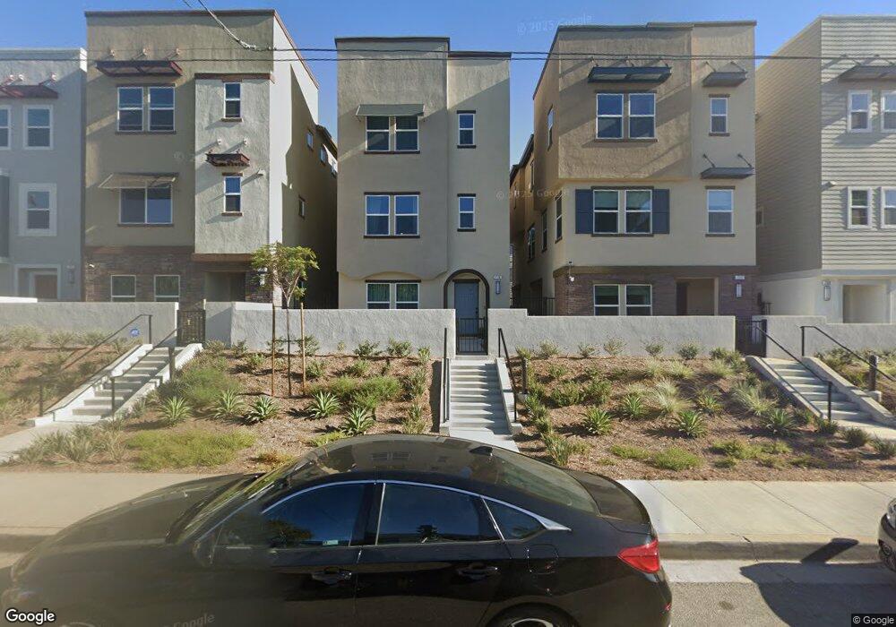
709 Daniel Freeman Cir Inglewood, CA 90301
Estimated Value: $1,093,000 - $1,179,000
4
Beds
4
Baths
2,355
Sq Ft
$485/Sq Ft
Est. Value
About This Home
This home is located at 709 Daniel Freeman Cir, Inglewood, CA 90301 and is currently estimated at $1,141,698, approximately $484 per square foot. 709 Daniel Freeman Cir is a home located in Los Angeles County with nearby schools including Kelso (William H.) Elementary School, Crozier (George W.) Middle School, and Inglewood High School.
Create a Home Valuation Report for This Property
The Home Valuation Report is an in-depth analysis detailing your home's value as well as a comparison with similar homes in the area
Tax History
| Year | Tax Paid | Tax Assessment Tax Assessment Total Assessment is a certain percentage of the fair market value that is determined by local assessors to be the total taxable value of land and additions on the property. | Land | Improvement |
|---|---|---|---|---|
| 2025 | $15,621 | $1,004,963 | $585,786 | $419,177 |
| 2024 | $14,509 | $985,258 | $574,300 | $410,958 |
| 2023 | $14,377 | $965,940 | $563,040 | $402,900 |
| 2022 | $14,677 | $947,000 | $552,000 | $395,000 |
| 2021 | $8,741 | $501,001 | $501,001 | $0 |
Source: Public Records
Map
Nearby Homes
- 756 Daniel Freeman Cir
- 533 Daniel Freeman Cir
- 551 Daniel Freeman Cir
- 587 Daniel Freeman Cir
- 222 N Locust St
- 524 E Hazel St
- 563 E Hazel St Unit 6
- 547 E Hazel St Unit 13
- 523 E Hazel St
- 523 Manchester Terrace
- 519 N Exton Ave
- 916 E 68th St
- 327 Stepney St
- 435 E Tamarack Ave
- 427 E Tamarack Ave
- 425 E Tamarack Ave
- 924 N Chester Ave
- 811 E Nutwood St
- 579 E Hyde Park Place
- 540 E Hyde Park Place
- 725 Daniel Freeman Cir
- 765 Sienna Way
- 748 Grace Ave
- 721 Daniel Freeman Cir
- 735 Daniel Freeman Cir
- 752 Grace Ave
- 720 Grace Ave
- 717 Daniel Freeman Cir
- 724 Grace Ave
- 763 Sienna Way
- 713 Daniel Freeman Cir
- 767 Sienna Way
- 339 N Prairie Ave
- 749 Daniel Freeman Cir
- 751 Daniel Freeman Cir
- 716 Sienna Way
- 748 Daniel Freeman Cir
- 750 Daniel Freeman Cir
- 746 Daniel Freeman Cir
- 620 Grace Ave
Your Personal Tour Guide
Ask me questions while you tour the home.