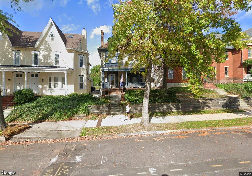
709 E High St Pottstown, PA 19464
Washington-Rosedale NeighborhoodEstimated Value: $289,783 - $333,000
5
Beds
2
Baths
2,340
Sq Ft
$131/Sq Ft
Est. Value
About This Home
This home is located at 709 E High St, Pottstown, PA 19464 and is currently estimated at $306,196, approximately $130 per square foot. 709 E High St is a home located in Montgomery County with nearby schools including Pottstown Middle School, Pottstown Senior High School, and Saint Aloysius Parish School.
Ownership History
Date
Name
Owned For
Owner Type
Purchase Details
Closed on
Jul 17, 2009
Sold by
Tinucci Raymond F
Bought by
School Hill
Current Estimated Value
Purchase Details
Closed on
Jun 9, 2005
Sold by
Tinucci Raymond F and Tinucci Lynn M
Bought by
Tinucci Raymond F
Purchase Details
Closed on
Apr 29, 2003
Sold by
Yerger Dwight and Yerger Linda K
Bought by
Tinucci Lynn M and Tinucci Raymond F
Purchase Details
Closed on
Oct 28, 1999
Sold by
Va
Bought by
Bankers Trust Company Of California Na and Vendee Mtg Trust 1999-3
Purchase Details
Closed on
Sep 16, 1996
Sold by
Begel Marian E
Bought by
Barber Dale E and Barber Anne T
Create a Home Valuation Report for This Property
The Home Valuation Report is an in-depth analysis detailing your home's value as well as a comparison with similar homes in the area
Home Values in the Area
Average Home Value in this Area
Purchase History
| Date | Buyer | Sale Price | Title Company |
|---|---|---|---|
| School Hill | $180,000 | None Available | |
| Tinucci Raymond F | -- | -- | |
| Tinucci Lynn M | $126,000 | -- | |
| Yerger Dwight | $76,000 | -- | |
| Bankers Trust Company Of California Na | $76,000 | -- | |
| Barber Dale E | $101,700 | -- |
Source: Public Records
Tax History Compared to Growth
Tax History
| Year | Tax Paid | Tax Assessment Tax Assessment Total Assessment is a certain percentage of the fair market value that is determined by local assessors to be the total taxable value of land and additions on the property. | Land | Improvement |
|---|---|---|---|---|
| 2025 | $5,923 | $96,500 | $37,980 | $58,520 |
| 2024 | $5,923 | $96,500 | $37,980 | $58,520 |
| 2023 | $5,843 | $96,500 | $37,980 | $58,520 |
| 2022 | $5,812 | $96,500 | $37,980 | $58,520 |
| 2021 | $5,745 | $96,500 | $37,980 | $58,520 |
| 2020 | $5,644 | $96,500 | $37,980 | $58,520 |
| 2019 | $5,515 | $96,500 | $37,980 | $58,520 |
| 2018 | $3,920 | $96,500 | $37,980 | $58,520 |
| 2017 | $5,157 | $96,500 | $37,980 | $58,520 |
| 2016 | $5,120 | $96,500 | $37,980 | $58,520 |
| 2015 | $5,117 | $96,500 | $37,980 | $58,520 |
| 2014 | $5,087 | $96,500 | $37,980 | $58,520 |
Source: Public Records
Map
Nearby Homes
- 639 E High St
- 627 Chestnut St
- 764 Queen St
- 651 Walnut St
- 564 Walnut St
- 526 Chestnut St
- 851 Queen St
- 854 Queen St
- 839 South St Unit 112
- 866 E High St
- 847 South St Unit 93
- 851 South St
- 648 Lincoln Ave
- 422 King St
- 511 Beech St
- 428 South St
- 570 Jefferson Ave
- 418 Walnut St
- 514 Lincoln Ave
- 506 Lincoln Ave