709 Jerico Island Rd Midway, GA 31320
Estimated Value: $398,000 - $734,085
4
Beds
5
Baths
3,700
Sq Ft
$149/Sq Ft
Est. Value
About This Home
This home is located at 709 Jerico Island Rd, Midway, GA 31320 and is currently estimated at $552,271, approximately $149 per square foot. 709 Jerico Island Rd is a home located in Liberty County with nearby schools including Liberty Elementary School, Midway Middle School, and Liberty County High School.
Ownership History
Date
Name
Owned For
Owner Type
Purchase Details
Closed on
Nov 12, 2021
Sold by
Franks David A
Bought by
Sikes Dusti Nicole and Sikes Charles Jacob
Current Estimated Value
Home Financials for this Owner
Home Financials are based on the most recent Mortgage that was taken out on this home.
Original Mortgage
$570,000
Outstanding Balance
$520,464
Interest Rate
3.05%
Mortgage Type
VA
Estimated Equity
$31,807
Purchase Details
Closed on
Jan 29, 2003
Sold by
Barner Gary W
Bought by
Franks David A and Franks Laura A
Purchase Details
Closed on
Aug 13, 2001
Sold by
Schretter Carol
Bought by
Franks David A and Franks Laura
Create a Home Valuation Report for This Property
The Home Valuation Report is an in-depth analysis detailing your home's value as well as a comparison with similar homes in the area
Home Values in the Area
Average Home Value in this Area
Purchase History
| Date | Buyer | Sale Price | Title Company |
|---|---|---|---|
| Sikes Dusti Nicole | $570,000 | -- | |
| Franks David A | -- | -- | |
| Franks David A | $385,000 | -- |
Source: Public Records
Mortgage History
| Date | Status | Borrower | Loan Amount |
|---|---|---|---|
| Open | Sikes Dusti Nicole | $570,000 |
Source: Public Records
Tax History Compared to Growth
Tax History
| Year | Tax Paid | Tax Assessment Tax Assessment Total Assessment is a certain percentage of the fair market value that is determined by local assessors to be the total taxable value of land and additions on the property. | Land | Improvement |
|---|---|---|---|---|
| 2024 | $53 | $145,151 | $11,443 | $133,708 |
| 2023 | $53 | $129,225 | $11,443 | $117,782 |
| 2022 | $319 | $110,095 | $11,443 | $98,652 |
| 2021 | $3,048 | $94,112 | $11,314 | $82,798 |
| 2020 | $3,060 | $94,462 | $11,314 | $83,148 |
| 2019 | $3,033 | $95,864 | $11,314 | $84,550 |
| 2018 | $3,007 | $96,214 | $11,314 | $84,900 |
| 2017 | $3,604 | $109,442 | $11,314 | $98,128 |
| 2016 | $3,252 | $109,793 | $11,314 | $98,478 |
| 2015 | $3,362 | $107,882 | $9,404 | $98,478 |
| 2014 | $3,362 | $107,656 | $9,547 | $98,109 |
| 2013 | -- | $127,063 | $28,161 | $98,902 |
Source: Public Records
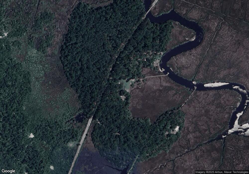
Map
Nearby Homes
- 221 Outpost Trail
- 24 Jerico Marsh Lot 24 Rd
- 46 Outpost Trail
- 142 Oak Harvest Ridge
- 70 1st St
- 1613 Lake Dr
- lot 2 Oak Island Dr
- 63 Wye Rd
- 85 Wye Rd
- 11 Kinlock Ct
- 99 Caraway Ct
- 87 Wye Rd
- 41 Kinlock Ct
- 1370 Lake Dr
- 967 Lake Dr
- 131 Haven Rd
- 169 Blue Jay Dr
- 0 Palm Island Dr Unit 160024
- 0 Palm Island Dr Unit 328180
- 132 River Rd
- 709 Jericho Island Dr
- 709 Jerico Island Rd
- 801 Jerico Island Rd
- 489 Jerico Island Rd
- 138 Jericho Island Dr
- 255 Oak Harvest Ridge
- 255 Outpost Trail
- 237 Outpost Trail
- 143 Outpost Trail
- 157 Outpost Trail
- 246 Oak Harvest Ridge
- 175 Outpost Trail
- 197 Outpost Trail
- 20 Jerico Dr
- 30 Jerico Dr
- 125 Outpost Trail
- 30 Jerico Dr Unit 113298
- 30 Jerico Dr
- 234 Oak Harvest Ridge
- 58 Jerico Dr