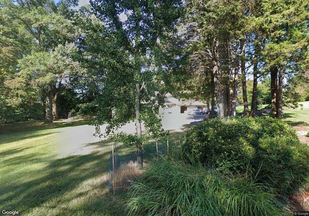
709 Mcceney Ave Silver Spring, MD 20901
Estimated Value: $910,000 - $1,256,000
Studio
4
Baths
4,028
Sq Ft
$260/Sq Ft
Est. Value
About This Home
This home is located at 709 Mcceney Ave, Silver Spring, MD 20901 and is currently estimated at $1,045,860, approximately $259 per square foot. 709 Mcceney Ave is a home located in Montgomery County with nearby schools including Roscoe R. Nix Elementary School, Cresthaven Elementary School, and Francis Scott Key Middle School.
Ownership History
Date
Name
Owned For
Owner Type
Purchase Details
Closed on
Oct 14, 2021
Sold by
Marder Daniel and Marder Susan
Bought by
Marder Daniel M and Marder Susan J
Current Estimated Value
Purchase Details
Closed on
Mar 21, 2002
Sold by
Wesley Barbara D
Bought by
Marder Daniel and Marder Susan
Purchase Details
Closed on
Dec 3, 1997
Sold by
Wesley Barbara D
Bought by
W Norman L and W Risch S
Create a Home Valuation Report for This Property
The Home Valuation Report is an in-depth analysis detailing your home's value as well as a comparison with similar homes in the area
Home Values in the Area
Average Home Value in this Area
Purchase History
| Date | Buyer | Sale Price | Title Company |
|---|---|---|---|
| Marder Daniel M | -- | None Available | |
| Marder Daniel | $695,000 | -- | |
| W Norman L | -- | -- |
Source: Public Records
Tax History
| Year | Tax Paid | Tax Assessment Tax Assessment Total Assessment is a certain percentage of the fair market value that is determined by local assessors to be the total taxable value of land and additions on the property. | Land | Improvement |
|---|---|---|---|---|
| 2025 | $11,933 | $1,020,367 | -- | -- |
| 2024 | $11,933 | $949,333 | $0 | $0 |
| 2023 | $10,383 | $878,300 | $337,600 | $540,700 |
| 2022 | $6,999 | $868,333 | $0 | $0 |
| 2021 | $3,733 | $858,367 | $0 | $0 |
| 2020 | $9,437 | $848,400 | $337,600 | $510,800 |
| 2019 | $9,392 | $848,400 | $337,600 | $510,800 |
| 2018 | $3,640 | $848,400 | $337,600 | $510,800 |
| 2017 | $3,681 | $899,100 | $0 | $0 |
| 2016 | -- | $869,700 | $0 | $0 |
| 2015 | $9,674 | $840,300 | $0 | $0 |
| 2014 | $9,674 | $810,900 | $0 | $0 |
Source: Public Records
Map
Nearby Homes
- 10708 Woodsdale Dr
- 10611 Meadowhill Rd
- 11158 Oak Leaf Dr
- 413 Southwest Dr
- 405 Southwest Dr
- 11323 Baritone Ct
- 10832 Margate Rd
- 11348 Baroque Rd
- 314 Crescendo Way
- 644 Symphony Woods Dr
- 413 Williamsburg Dr
- 10812 Lombardy Rd
- 10304 Ridgemoor Dr
- 10018 Brookmoor Dr
- 229 Hannes St
- 1600 Oaklawn Ct
- 905 Playford Ln
- 1018 Heartfields Dr
- 11412 Fairoak Dr
- 414 Waterford Rd
- 720 Burnt Mills Ct
- 701 Mcceney Ave
- 717 Mcceney Ave
- 725 Burnt Mills Ct
- 716 Burnt Mills Ct
- 712 Burnt Mills Ct
- 700 Mcceney Ave
- 721 Burnt Mills Ct
- 708 Burnt Mills Ct
- 717 Burnt Mills Ct
- 10803 Meadowhill Rd
- 10805 Meadowhill Rd
- 10801 Meadowhill Rd
- 10807 Meadowhill Rd
- 713 Burnt Mills Ct
- 10725 Meadowhill Rd
- 704 Burnt Mills Ct
- 801 Mcceney Ave
- 10809 Meadowhill Rd
- 10723 Meadowhill Rd
Your Personal Tour Guide
Ask me questions while you tour the home.