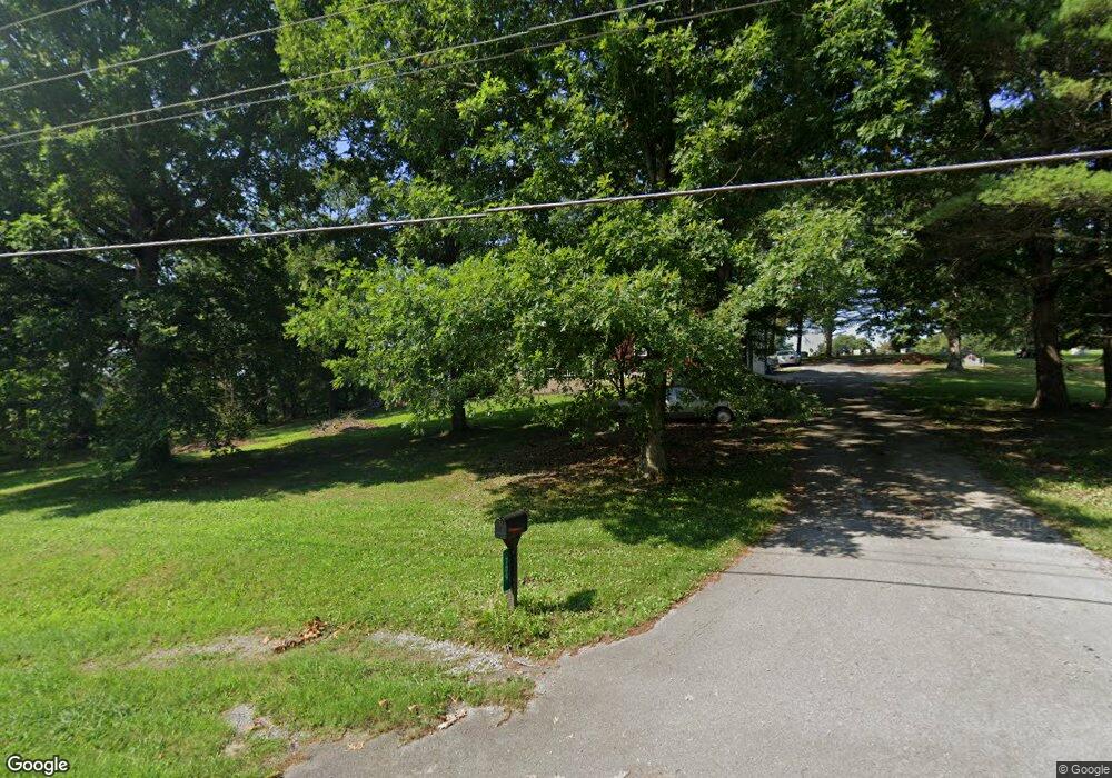
709 Old Dunlap Rd Spencer, TN 38585
Estimated Value: $242,000 - $371,000
3
Beds
1
Bath
1,480
Sq Ft
$189/Sq Ft
Est. Value
About This Home
This home is located at 709 Old Dunlap Rd, Spencer, TN 38585 and is currently estimated at $279,001, approximately $188 per square foot. 709 Old Dunlap Rd is a home located in Van Buren County with nearby schools including Spencer Elementary School, Van Buren County High School, and Faith Trinity Academy.
Ownership History
Date
Name
Owned For
Owner Type
Purchase Details
Closed on
Aug 18, 2014
Sold by
Delon Randal Keith
Bought by
Walling W Tyler
Current Estimated Value
Home Financials for this Owner
Home Financials are based on the most recent Mortgage that was taken out on this home.
Original Mortgage
$78,400
Outstanding Balance
$59,980
Interest Rate
4.2%
Mortgage Type
Cash
Estimated Equity
$219,021
Purchase Details
Closed on
May 12, 2005
Sold by
Not Provided
Bought by
Delon Randal Robert
Purchase Details
Closed on
Jul 27, 1979
Bought by
Delon Robert E and Delon Polly
Purchase Details
Closed on
Jan 1, 1979
Create a Home Valuation Report for This Property
The Home Valuation Report is an in-depth analysis detailing your home's value as well as a comparison with similar homes in the area
Home Values in the Area
Average Home Value in this Area
Purchase History
| Date | Buyer | Sale Price | Title Company |
|---|---|---|---|
| Walling W Tyler | $45,000 | -- | |
| Delon Randal Robert | -- | -- | |
| Delon Robert E | -- | -- | |
| -- | $40,000 | -- |
Source: Public Records
Mortgage History
| Date | Status | Borrower | Loan Amount |
|---|---|---|---|
| Open | Walling W Tyler | $78,400 |
Source: Public Records
Tax History Compared to Growth
Tax History
| Year | Tax Paid | Tax Assessment Tax Assessment Total Assessment is a certain percentage of the fair market value that is determined by local assessors to be the total taxable value of land and additions on the property. | Land | Improvement |
|---|---|---|---|---|
| 2024 | $1,011 | $42,125 | $3,850 | $38,275 |
| 2023 | $1,011 | $42,125 | $3,850 | $38,275 |
| 2022 | $1,011 | $42,125 | $3,850 | $38,275 |
| 2021 | $1,011 | $42,125 | $3,850 | $38,275 |
| 2020 | $914 | $42,125 | $3,850 | $38,275 |
| 2019 | $765 | $33,125 | $3,200 | $29,925 |
| 2018 | $521 | $33,125 | $3,200 | $29,925 |
| 2017 | $521 | $27,000 | $3,200 | $23,800 |
| 2016 | $521 | $27,000 | $3,200 | $23,800 |
| 2015 | $451 | $27,000 | $3,200 | $23,800 |
| 2014 | $434 | $23,375 | $3,200 | $20,175 |
| 2013 | $434 | $23,711 | $0 | $0 |
Source: Public Records
Map
Nearby Homes
- 211 Church St
- 260 Church St
- 114 Smith Dr
- 395 Church St
- 9 Templeton St
- 205 Mccoy St
- 815 Old McMinnville St
- 4.6 Tennessee 111
- 4.5 AC Tennessee 111
- 8 AC Tennessee 111
- 00 Tennessee 111
- 770 Overlook Dr
- 158 AC Lick Hollow Branch
- 0 Topside Dr Lot 50 Unit 237306
- 876 College St
- 100 College St
- 209 Spencer Dr
- 0 Highway 111 Unit RTC2992119
- 0 Highway 111 Unit RTC2992116
- 217 Simmons St
- 709 Old Dunlap St
- 665 Dunlap Rd
- 27 Church St
- 787 Old Dunlap St
- 34 Church St
- 784 Old Dunlap St
- 784 Old Dunlap Rd
- 621 Old Dunlap St
- 124 Church St
- 565 Old Dunlap St
- 138 W 138 Church St
- 567 John Hillis Ln
- 547 John Hillis Ln
- 138 Church St
- 180 Church St
- 207 Martin Ln
- 48 Scenic Dr
- 0 Church St
- 27 Demps St
- 231 Church St
