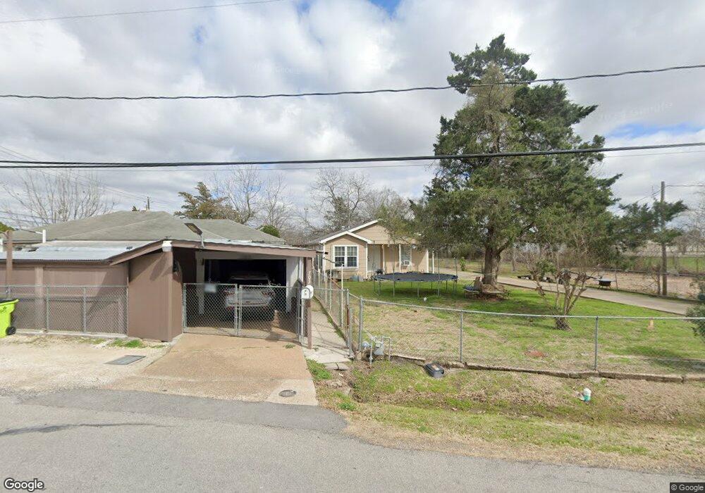
709 Rawson Dr Rosenberg, TX 77471
Estimated Value: $151,481 - $236,000
1
Bed
1
Bath
844
Sq Ft
$237/Sq Ft
Est. Value
About This Home
This home is located at 709 Rawson Dr, Rosenberg, TX 77471 and is currently estimated at $200,120, approximately $237 per square foot. 709 Rawson Dr is a home located in Fort Bend County with nearby schools including Jane Long Elementary School, J J Wessendorff Middle School, and Lamar Junior High School.
Ownership History
Date
Name
Owned For
Owner Type
Purchase Details
Closed on
Jan 21, 2016
Sold by
Rodriquez Roland R and Canipe Patricia
Bought by
Vasquez Jose O
Current Estimated Value
Purchase Details
Closed on
Feb 7, 2003
Sold by
Garcia Elvira
Bought by
Rodriguez Roland R
Home Financials for this Owner
Home Financials are based on the most recent Mortgage that was taken out on this home.
Original Mortgage
$46,000
Interest Rate
5.9%
Create a Home Valuation Report for This Property
The Home Valuation Report is an in-depth analysis detailing your home's value as well as a comparison with similar homes in the area
Home Values in the Area
Average Home Value in this Area
Purchase History
| Date | Buyer | Sale Price | Title Company |
|---|---|---|---|
| Vasquez Jose O | -- | None Available | |
| Rodriguez Roland R | -- | American Title Co | |
| Vasquez Jose O | -- | -- |
Source: Public Records
Mortgage History
| Date | Status | Borrower | Loan Amount |
|---|---|---|---|
| Previous Owner | Vasquez Jose O | $46,000 |
Source: Public Records
Tax History Compared to Growth
Tax History
| Year | Tax Paid | Tax Assessment Tax Assessment Total Assessment is a certain percentage of the fair market value that is determined by local assessors to be the total taxable value of land and additions on the property. | Land | Improvement |
|---|---|---|---|---|
| 2025 | $2,416 | $111,460 | $51,626 | $59,834 |
| 2024 | $2,416 | $127,884 | $51,626 | $76,258 |
| 2023 | $2,478 | $128,369 | $51,626 | $76,743 |
| 2022 | $2,484 | $121,270 | $51,630 | $69,640 |
| 2021 | $1,400 | $67,470 | $30,980 | $36,490 |
| 2020 | $1,402 | $66,080 | $30,980 | $35,100 |
| 2019 | $1,533 | $67,120 | $30,980 | $36,140 |
| 2018 | $1,522 | $65,560 | $30,980 | $34,580 |
| 2017 | $1,459 | $62,510 | $30,980 | $31,530 |
| 2016 | $1,462 | $62,620 | $30,980 | $31,640 |
| 2015 | $1,473 | $62,790 | $30,980 | $31,810 |
| 2014 | $1,430 | $60,200 | $30,980 | $29,220 |
Source: Public Records
Map
Nearby Homes
- 4602 Avenue H
- 5002 Quebec Blvd
- 5027 Quebec Blvd
- 3724 Avenue F
- 3710 Avenue F
- 1504 Radio Ln
- 1109 Frances Dr
- 5303 Rivers Edge Dr
- 5319 Rivers Edge Dr
- 1009 Lawrence St
- 4707 E Parma Dr
- 0 Miles St
- 1119 Tobola St
- 1806 Cedar Dr
- 1215 Lawrence St
- 1809 Hawthorn Dr
- 5121 Alderney Ct
- 1300 Lawrence St
- 1805 Hawthorn Dr
- 1317 Tobola St
- 4412 Old Richmond Rd
- 703 Rawson Dr
- 4416 Old Richmond Rd
- 711 Rawson Dr
- 4420 Old Richmond Rd
- 727 Rawson Dr
- 714 Rawson Dr
- 720 Rawson Dr
- 724 Rawson Dr
- 4510 River Rd
- 4506 River Rd
- 4418 River Rd
- 4422 River Rd
- 4414 River Rd
- 00 H & Gn
- 4618 S Richwood Dr
- 4410 River Rd
- 4511 River Rd
- 4622 S Richwood Dr
- 4614 S Richwood Dr