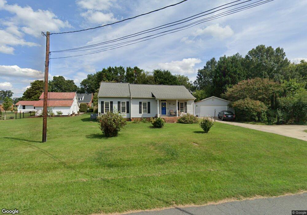
709 Rolling Rd Haw River, NC 27258
Estimated Value: $239,000 - $286,000
3
Beds
2
Baths
1,254
Sq Ft
$207/Sq Ft
Est. Value
About This Home
This home is located at 709 Rolling Rd, Haw River, NC 27258 and is currently estimated at $259,656, approximately $207 per square foot. 709 Rolling Rd is a home located in Alamance County with nearby schools including Haw River Elementary School, Woodlawn Middle School, and Eastern Alamance High School.
Ownership History
Date
Name
Owned For
Owner Type
Purchase Details
Closed on
Aug 12, 2019
Sold by
Bosquet Patricia Stewart
Bought by
Payne Geoffrey
Current Estimated Value
Home Financials for this Owner
Home Financials are based on the most recent Mortgage that was taken out on this home.
Original Mortgage
$140,165
Outstanding Balance
$122,834
Interest Rate
3.73%
Mortgage Type
New Conventional
Estimated Equity
$136,822
Purchase Details
Closed on
Jan 31, 2007
Sold by
Silby Kevin P
Bought by
Bosquet Patricia S
Create a Home Valuation Report for This Property
The Home Valuation Report is an in-depth analysis detailing your home's value as well as a comparison with similar homes in the area
Home Values in the Area
Average Home Value in this Area
Purchase History
| Date | Buyer | Sale Price | Title Company |
|---|---|---|---|
| Payne Geoffrey | $145,000 | Attorney | |
| Bosquet Patricia S | $145,000 | -- |
Source: Public Records
Mortgage History
| Date | Status | Borrower | Loan Amount |
|---|---|---|---|
| Open | Payne Geoffrey | $140,165 |
Source: Public Records
Tax History
| Year | Tax Paid | Tax Assessment Tax Assessment Total Assessment is a certain percentage of the fair market value that is determined by local assessors to be the total taxable value of land and additions on the property. | Land | Improvement |
|---|---|---|---|---|
| 2025 | $2,054 | $219,889 | $28,010 | $191,879 |
| 2024 | $1,999 | $219,889 | $28,010 | $191,879 |
| 2023 | $1,908 | $219,889 | $28,010 | $191,879 |
| 2022 | $1,550 | $121,706 | $21,255 | $100,451 |
| 2021 | $1,562 | $121,706 | $21,255 | $100,451 |
| 2020 | $1,574 | $121,706 | $21,255 | $100,451 |
| 2019 | $1,400 | $121,706 | $21,255 | $100,451 |
| 2018 | $0 | $121,706 | $21,255 | $100,451 |
| 2017 | $1,290 | $121,706 | $21,255 | $100,451 |
| 2016 | $1,312 | $123,813 | $24,797 | $99,016 |
| 2015 | $1,306 | $123,813 | $24,797 | $99,016 |
| 2014 | $1,244 | $123,813 | $24,797 | $99,016 |
Source: Public Records
Map
Nearby Homes
- 635 Keck Rd
- 403 Rolling Rd
- 148 N State St
- 8 Lea Ln
- 128 N State St
- Vl Highway 70 E
- 103 1st St
- 2319 James Boswell Rd
- 139 Pelham St
- 523 E Main St
- 0 Mount Vernon Rd
- 2813 Otter Creek Trail
- 734 Coley Ct
- 2070 Haw River Hopedale Rd
- 0 State Highway 49
- 780 Indian Village Trail
- 489 Fran Dr
- 497 Fran Dr
- 478 Fran Dr
- 476 Fran Dr
Your Personal Tour Guide
Ask me questions while you tour the home.