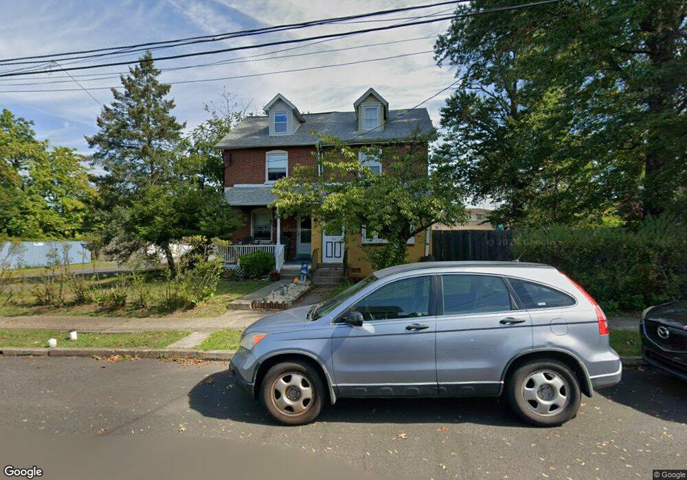
709 W 4th St Lansdale, PA 19446
Estimated Value: $303,000 - $386,185
3
Beds
2
Baths
1,215
Sq Ft
$276/Sq Ft
Est. Value
About This Home
This home is located at 709 W 4th St, Lansdale, PA 19446 and is currently estimated at $335,046, approximately $275 per square foot. 709 W 4th St is a home located in Montgomery County with nearby schools including Oak Park El School, Penndale Middle School, and North Penn Senior High School.
Ownership History
Date
Name
Owned For
Owner Type
Purchase Details
Closed on
Mar 16, 2007
Sold by
Pier Steven
Bought by
Hartman John P and Hartman Robyn L
Current Estimated Value
Home Financials for this Owner
Home Financials are based on the most recent Mortgage that was taken out on this home.
Original Mortgage
$178,489
Outstanding Balance
$108,450
Interest Rate
6.33%
Estimated Equity
$226,596
Purchase Details
Closed on
Jan 30, 2004
Sold by
Skrzat Stanley P and Skrzat Margaret
Bought by
Pier Steven
Home Financials for this Owner
Home Financials are based on the most recent Mortgage that was taken out on this home.
Original Mortgage
$108,000
Interest Rate
5.82%
Purchase Details
Closed on
Mar 19, 2003
Sold by
Molettiere Frank A
Bought by
Skrzat Stanley P
Create a Home Valuation Report for This Property
The Home Valuation Report is an in-depth analysis detailing your home's value as well as a comparison with similar homes in the area
Home Values in the Area
Average Home Value in this Area
Purchase History
| Date | Buyer | Sale Price | Title Company |
|---|---|---|---|
| Hartman John P | $179,900 | None Available | |
| Pier Steven | $135,000 | -- | |
| Skrzat Stanley P | -- | -- | |
| Skrzat Margaret | -- | -- | |
| Skrzat Stanley P | -- | -- |
Source: Public Records
Mortgage History
| Date | Status | Borrower | Loan Amount |
|---|---|---|---|
| Open | Hartman John P | $178,489 | |
| Previous Owner | Pier Steven | $108,000 |
Source: Public Records
Tax History Compared to Growth
Tax History
| Year | Tax Paid | Tax Assessment Tax Assessment Total Assessment is a certain percentage of the fair market value that is determined by local assessors to be the total taxable value of land and additions on the property. | Land | Improvement |
|---|---|---|---|---|
| 2025 | $4,214 | $100,190 | $46,390 | $53,800 |
| 2024 | $4,214 | $100,190 | $46,390 | $53,800 |
| 2023 | $3,943 | $100,190 | $46,390 | $53,800 |
| 2022 | $3,817 | $100,190 | $46,390 | $53,800 |
| 2021 | $3,662 | $100,190 | $46,390 | $53,800 |
| 2020 | $3,551 | $100,190 | $46,390 | $53,800 |
| 2019 | $3,492 | $100,190 | $46,390 | $53,800 |
| 2018 | $937 | $100,190 | $46,390 | $53,800 |
| 2017 | $3,260 | $100,190 | $46,390 | $53,800 |
| 2016 | $3,221 | $100,190 | $46,390 | $53,800 |
| 2015 | $3,165 | $100,190 | $46,390 | $53,800 |
| 2014 | $2,990 | $100,190 | $46,390 | $53,800 |
Source: Public Records
Map
Nearby Homes
- 833 W 4th St
- 831 W Main St
- 204 N Valley Forge Rd Unit 7B
- 1025 Birch St
- 1028 Poplar St Unit 75
- 302 W 8th St Unit 21
- 108 Allison Ct Unit 8
- 129 W Fifth St
- 21 S Valley Forge Rd Unit 213
- 13 W End Dr
- 816 Kenilworth Ave
- 405 Derstine Ave
- 920 Columbia Ave
- 1035 Forest Ave
- 1061 York Ave
- 39 E 5th St
- 128 S Broad St
- 529 N Chestnut St
- 124 E 5th St
- 130 E 5th St
- 711 W 4th St
- 701 W 4th St
- 710 W 4th St
- 712 W 4th St
- 716 W 4th St
- 718 W 4th St Unit 33
- 720 W 4th St
- 726 W 4th St
- 728 W 4th St
- 719 W 3rd St
- 505 N Mitchell Ave
- 501 N Cannon Ave Unit A303
- 501 N Cannon Ave Unit B107
- 501 N Cannon Ave Unit A209
- 501 N Cannon Ave Unit A207
- 501 N Cannon Ave Unit A307
- 501 N Cannon Ave Unit B101
- 501 N Cannon Ave Unit B109
- 501 N Cannon Ave Unit B103
- 501 N Cannon Ave Unit 311