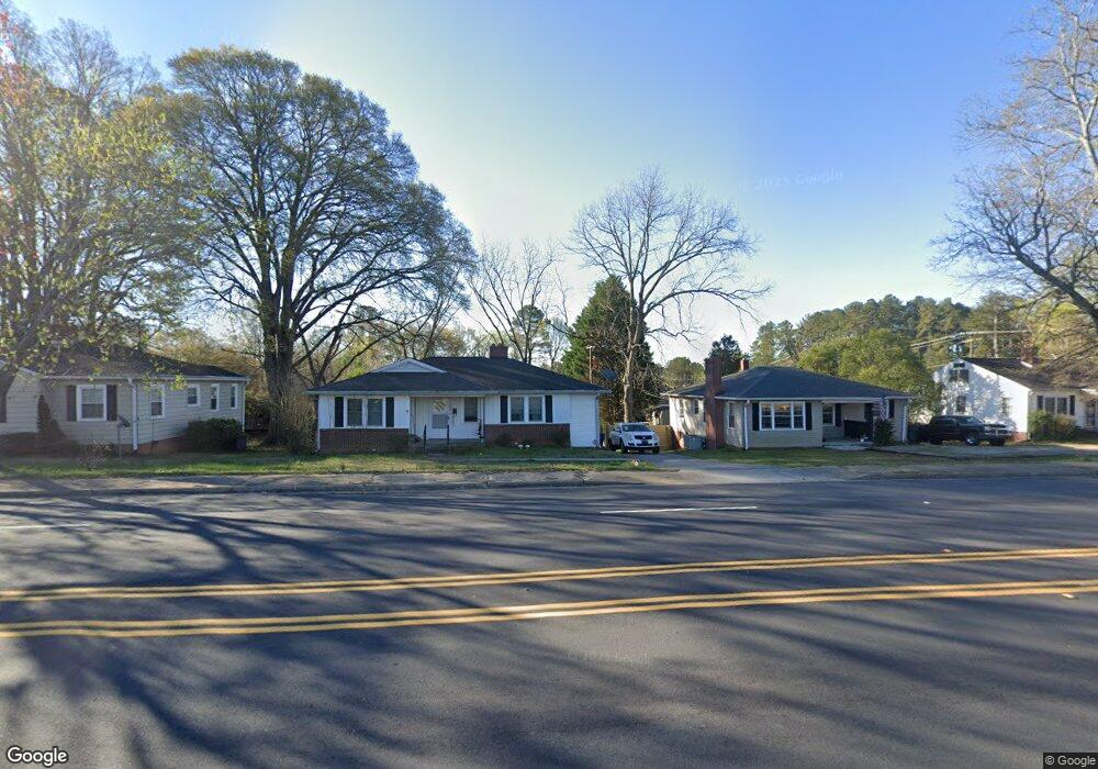
709 Whitehall Rd Anderson, SC 29625
Estimated Value: $579,000 - $1,352,616
3
Beds
--
Bath
2,205
Sq Ft
$438/Sq Ft
Est. Value
About This Home
This home is located at 709 Whitehall Rd, Anderson, SC 29625 and is currently estimated at $965,808, approximately $438 per square foot. 709 Whitehall Rd is a home located in Anderson County with nearby schools including Whitehall Elementary School, Westside High School, and Anderson Institute of Technology.
Ownership History
Date
Name
Owned For
Owner Type
Purchase Details
Closed on
Nov 21, 2014
Sold by
Adams Family Trust
Bought by
Monday John K and Monday Betsy
Current Estimated Value
Home Financials for this Owner
Home Financials are based on the most recent Mortgage that was taken out on this home.
Original Mortgage
$341,250
Interest Rate
4%
Mortgage Type
New Conventional
Purchase Details
Closed on
May 14, 2010
Sold by
Adams Billy R and Snipes Guynell A
Bought by
Adams Family Trust
Purchase Details
Closed on
May 3, 2010
Sold by
Adams Sigrid R and Estate Of Joseph H Adams
Bought by
Adams Family Trust
Create a Home Valuation Report for This Property
The Home Valuation Report is an in-depth analysis detailing your home's value as well as a comparison with similar homes in the area
Home Values in the Area
Average Home Value in this Area
Purchase History
| Date | Buyer | Sale Price | Title Company |
|---|---|---|---|
| Monday John K | $525,000 | -- | |
| Adams Family Trust | -- | -- | |
| Adams Family Trust | -- | -- |
Source: Public Records
Mortgage History
| Date | Status | Borrower | Loan Amount |
|---|---|---|---|
| Previous Owner | Monday John K | $341,250 |
Source: Public Records
Tax History Compared to Growth
Tax History
| Year | Tax Paid | Tax Assessment Tax Assessment Total Assessment is a certain percentage of the fair market value that is determined by local assessors to be the total taxable value of land and additions on the property. | Land | Improvement |
|---|---|---|---|---|
| 2024 | $8,005 | $28,000 | $1,000 | $27,000 |
| 2023 | $8,005 | $28,000 | $1,000 | $27,000 |
| 2022 | $3,380 | $28,000 | $1,000 | $27,000 |
| 2021 | $3,033 | $22,080 | $1,620 | $20,460 |
| 2020 | $2,991 | $22,080 | $1,620 | $20,460 |
| 2019 | $20,465 | $62,500 | $31,820 | $30,680 |
| 2018 | $3,014 | $22,080 | $1,620 | $20,460 |
| 2017 | -- | $160 | $160 | $0 |
| 2016 | $204 | $640 | $510 | $130 |
| 2015 | $205 | $640 | $510 | $130 |
| 2014 | $205 | $640 | $510 | $130 |
Source: Public Records
Map
Nearby Homes
- 705 Whitehall Rd
- 500 Whitehall Rd
- 157 Bleckley Trail
- 428 Starkes St
- 211 Westwind Rd
- 207 Mayfield Dr
- 00 Martin Luther King jr Blvd
- 108 Traditions Blvd
- 113 Traditions Blvd
- 2904 Birch St
- 119 Mcclure Dr
- 204 Beauregard Ave
- 214 Boyce St
- 404 Azalea Dr
- 406 Hillside Dr
- 205 Stone Dr
- 2614 E North Ave
- 213 Oneal Dr
- 1046 Jackson St
- 1032 Jackson St
- 709 Whitehall Rd
- 711 Whitehall Rd
- 707 Whitehall Rd
- 713 Whitehall Rd
- 704 W Fredericks St
- 103 Woodburn Ave
- 702 W Fredericks St
- 706 W Fredericks St
- 1703 Bleckley St
- 700 W Fredericks St
- 801 Whitehall Rd
- 803 Whitehall Rd
- 707 W Fredericks St
- 701 W Fredericks St
- 1603 Bleckley St
- 00 Mall Rd Unit Lot 7,8,9,10
- 625 W Fredericks St
- 605 Whitehall Rd
- 623 W Fredericks St
- 112 Woodburn Ave