7091 Skunk Hollow Rd Martinsville, IN 46151
Estimated Value: $434,756 - $490,000
3
Beds
3
Baths
1,732
Sq Ft
$267/Sq Ft
Est. Value
About This Home
This home is located at 7091 Skunk Hollow Rd, Martinsville, IN 46151 and is currently estimated at $462,378, approximately $266 per square foot. 7091 Skunk Hollow Rd is a home located in Morgan County with nearby schools including Martinsville High School.
Ownership History
Date
Name
Owned For
Owner Type
Purchase Details
Closed on
Apr 30, 2010
Sold by
Hughey Tina B
Bought by
Hughey Tina B
Current Estimated Value
Home Financials for this Owner
Home Financials are based on the most recent Mortgage that was taken out on this home.
Original Mortgage
$140,000
Outstanding Balance
$94,341
Interest Rate
5.16%
Mortgage Type
New Conventional
Estimated Equity
$368,037
Purchase Details
Closed on
Apr 14, 2005
Sold by
Hughey Tina B
Bought by
Hughey Tina B
Create a Home Valuation Report for This Property
The Home Valuation Report is an in-depth analysis detailing your home's value as well as a comparison with similar homes in the area
Home Values in the Area
Average Home Value in this Area
Purchase History
| Date | Buyer | Sale Price | Title Company |
|---|---|---|---|
| Hughey Tina B | -- | -- | |
| Hughey Tina B | -- | None Available |
Source: Public Records
Mortgage History
| Date | Status | Borrower | Loan Amount |
|---|---|---|---|
| Open | Hughey Tina B | $140,000 |
Source: Public Records
Tax History Compared to Growth
Tax History
| Year | Tax Paid | Tax Assessment Tax Assessment Total Assessment is a certain percentage of the fair market value that is determined by local assessors to be the total taxable value of land and additions on the property. | Land | Improvement |
|---|---|---|---|---|
| 2024 | $1,403 | $269,300 | $77,700 | $191,600 |
| 2023 | $1,299 | $267,200 | $75,600 | $191,600 |
| 2022 | $1,115 | $248,700 | $73,400 | $175,300 |
| 2021 | $746 | $187,600 | $41,200 | $146,400 |
| 2020 | $686 | $182,000 | $41,100 | $140,900 |
| 2019 | $680 | $169,000 | $42,700 | $126,300 |
| 2018 | $633 | $164,300 | $43,000 | $121,300 |
| 2017 | $637 | $165,100 | $44,300 | $120,800 |
| 2016 | $654 | $162,500 | $40,200 | $122,300 |
| 2014 | $547 | $161,000 | $42,500 | $118,500 |
| 2013 | $547 | $160,400 | $40,600 | $119,800 |
Source: Public Records
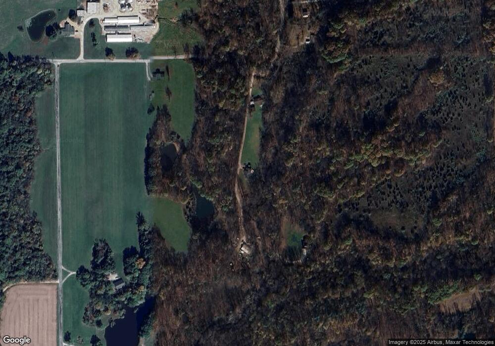
Map
Nearby Homes
- 4360 Williams Rd
- 0 Skunk Hollow Rd
- Tract 3 Skunk Hollow Rd
- Tract 2 Skunk Hollow Rd
- 7158 New Harmony Rd
- 8000 New Harmony Rd
- 4385 Cragen Rd
- 7975 New Harmony Rd
- 8205 Mcwhorter Rd
- 8405 Mcwhorter Rd
- 8385 Mcwhorter Rd
- TBD Maple Grove Rd
- 5020 Cragen Rd
- 6376 E Perry Ln
- 901 Carter Rd
- 1156 Cope Rd
- 7813 W 50 S
- 0 Old Moore Rd
- 8577 State Road 44
- 7303 W Division Rd
- 7087 Skunk Hollow Rd
- 7095 Skunk Hollow Rd
- 6995 Egbert Rd
- 7140 Skunk Hollow Rd
- 2925 Abraham Rd
- 7195 Skunk Hollow Rd
- 6910 Egbert Rd
- 2809 Abraham Rd
- 2920 Abraham Rd
- 2752 Abraham Rd
- 7250 Brian Cemetery Rd
- 3110 Moulton Rd
- 3340 N Timberlake Dr
- 3356 N Timberlake Dr
- 3364 N Timberlake Dr
- 3372 N Timberlake Dr
- 2605 Abraham Rd
- 3158 Moulton Rd
- 3385 N Timberlake Dr
- 2570 Abraham Rd