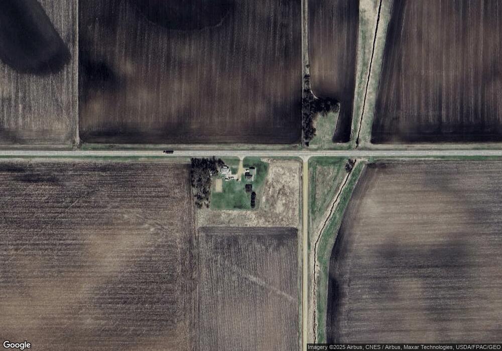
70927 390th St Saint James, MN 56081
Estimated Value: $285,000 - $362,445
3
Beds
2
Baths
952
Sq Ft
$341/Sq Ft
Est. Value
About This Home
This home is located at 70927 390th St, Saint James, MN 56081 and is currently estimated at $324,815, approximately $341 per square foot. 70927 390th St is a home located in Watonwan County with nearby schools including Armstrong School, Northside Elementary School, and St. James High School.
Create a Home Valuation Report for This Property
The Home Valuation Report is an in-depth analysis detailing your home's value as well as a comparison with similar homes in the area
Home Values in the Area
Average Home Value in this Area
Tax History Compared to Growth
Tax History
| Year | Tax Paid | Tax Assessment Tax Assessment Total Assessment is a certain percentage of the fair market value that is determined by local assessors to be the total taxable value of land and additions on the property. | Land | Improvement |
|---|---|---|---|---|
| 2025 | $3,724 | $342,400 | $75,700 | $266,700 |
| 2024 | $3,666 | $362,200 | $77,700 | $284,500 |
| 2023 | $3,612 | $362,300 | $77,700 | $284,600 |
| 2022 | $3,350 | $301,100 | $77,700 | $223,400 |
| 2021 | $2,566 | $230,800 | $51,500 | $179,300 |
| 2020 | $2,514 | $245,100 | $51,500 | $193,600 |
| 2019 | $2,320 | $245,300 | $51,500 | $193,800 |
| 2018 | $2,216 | $216,800 | $47,700 | $169,100 |
| 2016 | $1,948 | $210,300 | $47,700 | $162,600 |
| 2014 | -- | $188,200 | $38,400 | $149,800 |
Source: Public Records
Map
Nearby Homes
- 0 Parcel Id Unit 5.510.0060 7037955
- 0 Parcel Id Unit 5.510.0050 7037954
- 0 Parcel Id Unit 5.510.0040 7037953
- 0 Parcel Id# 05 510 0020 Unit 7037952
- 0 Parcel Id# 05 510 0010 Unit 7037951
- 69193 69193 380th St
- 69193 380th St
- 35726 710th Ave
- 37204 737th Ave
- 200 200 S 10th Ave
- 1023 Armstrong Blvd S
- 1007 5th St S
- 914 914 S 3rd St
- 1000 1000 S 9th St
- 702 9th Ave S
- 702 702 S 9th Ave Unit 702 9th Ave S
- 207 7th Ave S
- 909 909 S 8th St
- 915 915 S 10th St
- 902 11th St S
- 71323 390th St
- 71292 390th St
- 70488 390th St
- 39566 710th Ave
- 0 Parcel Id: 055100070 Unit 7033938
- 0 Parcel Id: 055100060 Unit 7033937
- 38817 702nd Ave
- 0 Parcel Id: 055100050 Unit 7033936
- 70791 N Long Lake Dr
- 71123 380th St
- 71123 380th St
- 38723 702nd Ave
- 0 Parcel Id: 055100040 Unit 7033935
- 70753 N Long Lake Dr
- 70817 N Long Lake Dr
- 70835 N Long Lake Dr
- 70729 N Long Lake Dr
- 70549 N Long Lake Dr
- 70885 N Long Lake Dr
- 0 Parcel Id: 055100030 Unit 7033934