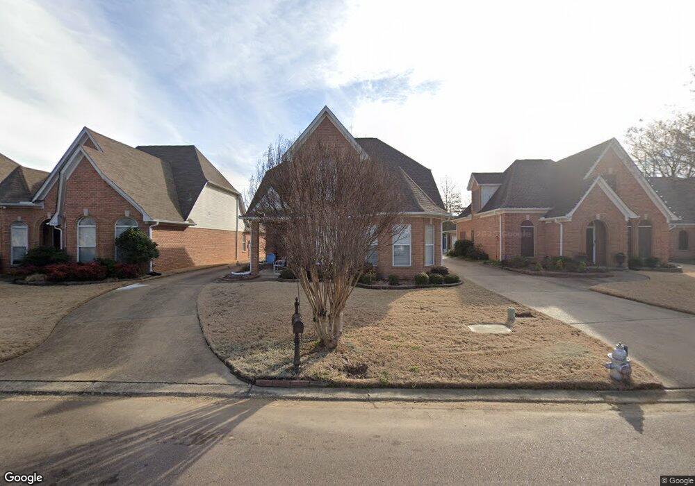
7096 Swinnea Ridge S Southaven, MS 38671
Estimated Value: $281,000 - $319,891
3
Beds
--
Bath
2,725
Sq Ft
$113/Sq Ft
Est. Value
About This Home
This home is located at 7096 Swinnea Ridge S, Southaven, MS 38671 and is currently estimated at $306,973, approximately $112 per square foot. 7096 Swinnea Ridge S is a home located in DeSoto County with nearby schools including Greenbrook Elementary School, Southaven Intermediate School, and Southaven Middle School.
Ownership History
Date
Name
Owned For
Owner Type
Purchase Details
Closed on
Dec 5, 2018
Sold by
Broaddus Sonja K and Ammons Judith C
Bought by
Miller Elris Twuan and Birch Deloise
Current Estimated Value
Home Financials for this Owner
Home Financials are based on the most recent Mortgage that was taken out on this home.
Original Mortgage
$181,550
Outstanding Balance
$68,975
Interest Rate
4.9%
Mortgage Type
Commercial
Estimated Equity
$237,998
Create a Home Valuation Report for This Property
The Home Valuation Report is an in-depth analysis detailing your home's value as well as a comparison with similar homes in the area
Home Values in the Area
Average Home Value in this Area
Purchase History
| Date | Buyer | Sale Price | Title Company |
|---|---|---|---|
| Miller Elris Twuan | -- | None Available |
Source: Public Records
Mortgage History
| Date | Status | Borrower | Loan Amount |
|---|---|---|---|
| Open | Miller Elris Twuan | $181,550 | |
| Closed | Miller Elris Twuan | $181,550 | |
| Closed | Miller Elris Twuan | $7,000 |
Source: Public Records
Tax History Compared to Growth
Tax History
| Year | Tax Paid | Tax Assessment Tax Assessment Total Assessment is a certain percentage of the fair market value that is determined by local assessors to be the total taxable value of land and additions on the property. | Land | Improvement |
|---|---|---|---|---|
| 2024 | $1,192 | $15,682 | $2,500 | $13,182 |
| 2023 | $1,192 | $15,682 | $0 | $0 |
| 2022 | $1,167 | $15,682 | $2,500 | $13,182 |
| 2021 | $1,167 | $15,682 | $2,500 | $13,182 |
| 2020 | $1,167 | $15,682 | $2,500 | $13,182 |
| 2019 | $2,237 | $15,734 | $2,500 | $13,234 |
| 2017 | $1,128 | $28,234 | $15,367 | $12,867 |
| 2016 | $1,128 | $15,367 | $2,500 | $12,867 |
| 2015 | $2,189 | $28,234 | $15,367 | $12,867 |
| 2014 | $1,128 | $15,367 | $0 | $0 |
| 2013 | $1,998 | $15,367 | $0 | $0 |
Source: Public Records
Map
Nearby Homes
- 38 Goodman Rd E
- 758 Rutland Dr
- 1011 Lexington Loop
- 1019 Lexington Loop
- 6641 Blue Spruce Dr
- 0 Goodman Rd E
- 0 Swinnea Rd Unit 4127368
- 1420 Arcastle Loop N
- 1327 Fox Chase Dr
- 6742 Beaumont Cir
- 6718 Beaumont Cir
- 6714 Beaumont Cir
- 0 W Golden Oaks Loop
- 792 Birchfield Place
- 7122 Pipe Dream Cove
- 925 Scotch Pine Cove
- 18 Hospitality Ln
- 7593 Millbridge Dr
- 840 Knotty Pine Cove
- 7745 Callie Dr
- 7096 Swinnea Ridge S
- 7087 Swinnea Ridge S
- 7104 Swinnea Ridge S
- 7080 Swinnea Ridge S
- 7112 Swinnea Ridge S
- 7070 Swinnea Ridge S
- 7070 Swinnea Ridge S
- 7062 Swinnea Ridge S
- 7095 Swinnea Ridge S
- 7088 Swinnea Ridge S
- 7103 Swinnea Ridge S
- 10 Swinnea Ridge
- 2 Swinnea Ridge
- 0 Swinnea Ridge
- 7079 Swinnea Ridge S
- 7136 Swinnea Ridge N
- 7111 Swinnea Ridge S
- 7054 Swinnea Ridge S
- 7069 Swinnea Ridge S
- 7123 Swinnea Ridge S