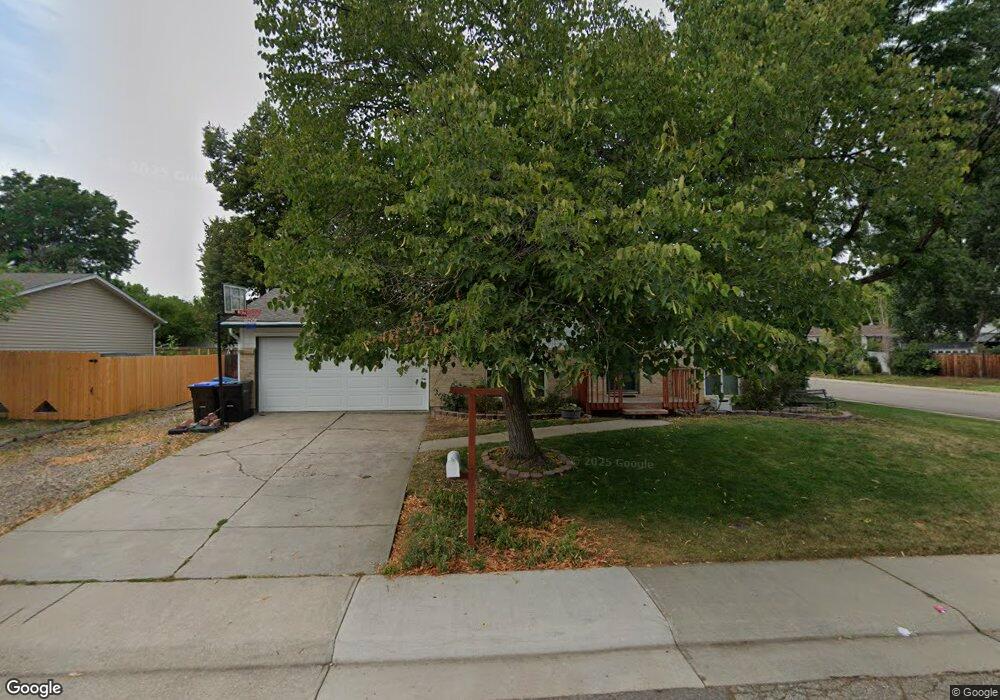
7097 Wright Ct Arvada, CO 80004
Northwest Arvada NeighborhoodEstimated Value: $545,000 - $611,000
4
Beds
2
Baths
1,764
Sq Ft
$325/Sq Ft
Est. Value
About This Home
This home is located at 7097 Wright Ct, Arvada, CO 80004 and is currently estimated at $573,193, approximately $324 per square foot. 7097 Wright Ct is a home located in Jefferson County with nearby schools including Stott Elementary School, Oberon Middle School, and Arvada West High School.
Ownership History
Date
Name
Owned For
Owner Type
Purchase Details
Closed on
Aug 10, 2018
Sold by
Hollis Robert and Hollis Susan
Bought by
Hollis Robert D and Hollis Susan M
Current Estimated Value
Purchase Details
Closed on
Mar 22, 2013
Sold by
Hammer Sandra L
Bought by
Hollis Robert and Hollis Susan
Home Financials for this Owner
Home Financials are based on the most recent Mortgage that was taken out on this home.
Original Mortgage
$197,063
Outstanding Balance
$139,377
Interest Rate
3.59%
Mortgage Type
New Conventional
Estimated Equity
$433,816
Create a Home Valuation Report for This Property
The Home Valuation Report is an in-depth analysis detailing your home's value as well as a comparison with similar homes in the area
Home Values in the Area
Average Home Value in this Area
Purchase History
| Date | Buyer | Sale Price | Title Company |
|---|---|---|---|
| Hollis Robert D | -- | None Available | |
| Hollis Robert | $216,000 | Heritage Title |
Source: Public Records
Mortgage History
| Date | Status | Borrower | Loan Amount |
|---|---|---|---|
| Open | Hollis Robert | $197,063 |
Source: Public Records
Tax History
| Year | Tax Paid | Tax Assessment Tax Assessment Total Assessment is a certain percentage of the fair market value that is determined by local assessors to be the total taxable value of land and additions on the property. | Land | Improvement |
|---|---|---|---|---|
| 2024 | $3,282 | $33,834 | $16,040 | $17,794 |
| 2023 | $3,282 | $33,834 | $16,040 | $17,794 |
| 2022 | $2,672 | $27,280 | $12,820 | $14,460 |
| 2021 | $2,716 | $28,065 | $13,189 | $14,876 |
| 2020 | $2,520 | $26,114 | $11,373 | $14,741 |
| 2019 | $2,486 | $26,114 | $11,373 | $14,741 |
| 2018 | $2,270 | $23,180 | $6,820 | $16,360 |
| 2017 | $2,078 | $23,180 | $6,820 | $16,360 |
| 2016 | $1,973 | $20,733 | $6,580 | $14,153 |
| 2015 | $1,459 | $20,733 | $6,580 | $14,153 |
| 2014 | $1,459 | $14,408 | $5,158 | $9,250 |
Source: Public Records
Map
Nearby Homes
- 7154 Welch Ct
- 7181 Van Gordon St
- 12398 W 70th Ave
- 7296 Xenophon Ct
- 11921 W 70th Place
- 12730 W 67th Way
- 12940 W 75th Ave
- 7072 Taft Ct
- 11825 W 73rd Dr
- 6762 Beech Dr
- 12670 W 66th Place
- 7120 Simms St Unit 202
- 6725 Beech Ct
- 7130 Simms St Unit 207
- 6810 Simms Ct
- 6501 Welch Ct
- 6550 Van Gordon Ct
- 7512 Braun St
- 11925 W 66th Place Unit B
- 7518 Swadley St
Your Personal Tour Guide
Ask me questions while you tour the home.