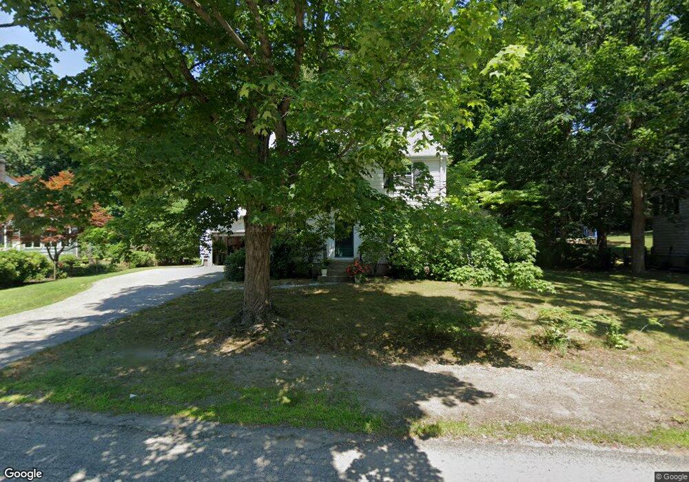
71 Alba Rd Wellesley Hills, MA 02481
Estimated Value: $1,224,000 - $1,304,000
3
Beds
3
Baths
1,544
Sq Ft
$815/Sq Ft
Est. Value
About This Home
This home is located at 71 Alba Rd, Wellesley Hills, MA 02481 and is currently estimated at $1,258,164, approximately $814 per square foot. 71 Alba Rd is a home located in Norfolk County with nearby schools including Sprague Elementary School, Wellesley Middle School, and Wellesley Sr High School.
Ownership History
Date
Name
Owned For
Owner Type
Purchase Details
Closed on
Jan 29, 1998
Sold by
Ramsey Susan M
Bought by
Hartley Allan and Hartley Linda
Current Estimated Value
Home Financials for this Owner
Home Financials are based on the most recent Mortgage that was taken out on this home.
Original Mortgage
$299,250
Interest Rate
7.02%
Mortgage Type
Purchase Money Mortgage
Create a Home Valuation Report for This Property
The Home Valuation Report is an in-depth analysis detailing your home's value as well as a comparison with similar homes in the area
Home Values in the Area
Average Home Value in this Area
Purchase History
| Date | Buyer | Sale Price | Title Company |
|---|---|---|---|
| Hartley Allan | $315,000 | -- | |
| Hartley Allan | $315,000 | -- |
Source: Public Records
Mortgage History
| Date | Status | Borrower | Loan Amount |
|---|---|---|---|
| Open | Hartley Allan | $346,400 | |
| Closed | Hartley Allan | $299,250 |
Source: Public Records
Tax History Compared to Growth
Tax History
| Year | Tax Paid | Tax Assessment Tax Assessment Total Assessment is a certain percentage of the fair market value that is determined by local assessors to be the total taxable value of land and additions on the property. | Land | Improvement |
|---|---|---|---|---|
| 2025 | $10,753 | $1,046,000 | $892,000 | $154,000 |
| 2024 | $9,994 | $960,000 | $811,000 | $149,000 |
| 2023 | $9,114 | $796,000 | $676,000 | $120,000 |
| 2022 | $9,940 | $851,000 | $653,000 | $198,000 |
| 2021 | $9,670 | $823,000 | $625,000 | $198,000 |
| 2020 | $9,514 | $823,000 | $625,000 | $198,000 |
| 2019 | $8,678 | $750,000 | $563,000 | $187,000 |
| 2018 | $7,947 | $665,000 | $541,000 | $124,000 |
| 2017 | $7,840 | $665,000 | $541,000 | $124,000 |
| 2016 | $7,713 | $652,000 | $532,000 | $120,000 |
| 2015 | $7,260 | $628,000 | $507,000 | $121,000 |
Source: Public Records
Map
Nearby Homes
- 32 Wall St
- 42 Calvin Rd
- 39 Audubon Rd
- 32 Donizetti St
- 32 Kingsbury St Unit A
- 18 Sprague Rd
- 15 Essex Rd
- 16 Stearns Rd Unit 101
- 16 Stearns Rd Unit 302
- 16 Stearns Rd Unit 207
- 16 Stearns Rd Unit 301
- 16 Stearns Rd Unit 103
- 16 Stearns Rd Unit 202
- 16 Stearns Rd Unit 304
- 16 Stearns Rd Unit 104
- 16 Stearns Rd Unit 108
- 201 Lowell Rd
- 11 Oak St Unit 62
- 25 Shaw Rd
- 26 Edmunds Rd