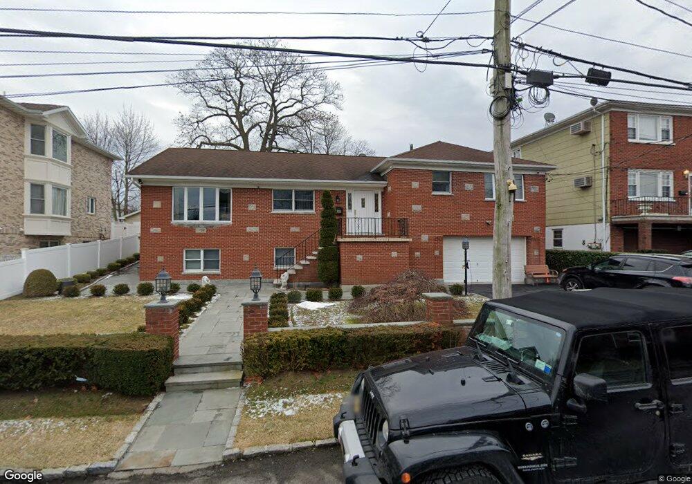
71 Brewster Ave Yonkers, NY 10701
Dunwoodie NeighborhoodEstimated Value: $942,000 - $1,101,000
5
Beds
4
Baths
3,076
Sq Ft
$332/Sq Ft
Est. Value
About This Home
This home is located at 71 Brewster Ave, Yonkers, NY 10701 and is currently estimated at $1,022,452, approximately $332 per square foot. 71 Brewster Ave is a home located in Westchester County with nearby schools including St. John the Baptist Catholic Church, Andalusia School, and Oakview Preparatory School of Seventh-day Adventists.
Ownership History
Date
Name
Owned For
Owner Type
Purchase Details
Closed on
Oct 2, 2025
Sold by
Arefieg Nazieh and Arefieg Yousef
Bought by
Arefieg Yousef
Current Estimated Value
Purchase Details
Closed on
May 7, 2025
Sold by
Arefieg Nazieh and Arefieg Ikhlas
Bought by
Arefieg Nazieh and Arefieg Yousef
Purchase Details
Closed on
Jan 29, 2022
Sold by
Ficarrotta Gaetana and Ficarrotta Gaspare
Bought by
Ficarrotta Gaetana and Gaetlana Ficarrotta Irrevocabl
Purchase Details
Closed on
Jun 14, 1996
Sold by
Circosta Michelangelo and Circosta Anthony
Bought by
Arefieg Nazieh and Arefieg Ikhlas
Create a Home Valuation Report for This Property
The Home Valuation Report is an in-depth analysis detailing your home's value as well as a comparison with similar homes in the area
Home Values in the Area
Average Home Value in this Area
Purchase History
| Date | Buyer | Sale Price | Title Company |
|---|---|---|---|
| Arefieg Yousef | -- | None Listed On Document | |
| Arefieg Nazieh | -- | Judicial Title | |
| Ficarrotta Gaetana | -- | None Available | |
| Arefieg Nazieh | $329,000 | -- |
Source: Public Records
Tax History Compared to Growth
Tax History
| Year | Tax Paid | Tax Assessment Tax Assessment Total Assessment is a certain percentage of the fair market value that is determined by local assessors to be the total taxable value of land and additions on the property. | Land | Improvement |
|---|---|---|---|---|
| 2024 | $2,227 | $12,500 | $4,500 | $8,000 |
| 2023 | $2,216 | $12,500 | $4,500 | $8,000 |
| 2022 | $2,201 | $12,500 | $4,500 | $8,000 |
| 2021 | $8,452 | $12,500 | $4,500 | $8,000 |
| 2020 | $8,355 | $12,500 | $4,500 | $8,000 |
| 2019 | $11,607 | $12,500 | $4,500 | $8,000 |
| 2018 | $7,770 | $12,500 | $4,500 | $8,000 |
| 2017 | -- | $12,500 | $4,500 | $8,000 |
| 2016 | $10,191 | $12,500 | $4,500 | $8,000 |
| 2015 | -- | $12,500 | $4,500 | $8,000 |
| 2014 | -- | $14,100 | $4,500 | $9,600 |
| 2013 | -- | $14,100 | $4,500 | $9,600 |
Source: Public Records
Map
Nearby Homes
- 47 Brewster Ave
- 43 Dunston Ave
- 39 Dunston Ave
- 20 Ashford Place
- 30 College Place
- 900 Midland Ave Unit 2E
- 9 Brynwood Rd
- 70 Cook Ave
- 98 University Ave
- 7 Elaine Terrace
- 90 University Ave
- 86 University Ave
- 41 Cowdrey St
- 194 Valentine St
- 174 Valentine St
- 191 Dunwoodie St
- 130 Staunton St
- 23 Mansion Ave
- 419 Palmer Rd
- 1101 Midland Ave Unit 403
- 67 Brewster Ave
- 0 Brewster Ave
- 25 Ambrose Place
- 77 Brewster Ave
- 17 Ambrose Place
- 27 Ambrose Place Unit 2 FL
- 27 Ambrose Place
- 551 Mile Square Rd
- 545 Mile Square Rd
- 72 Brewster Ave
- 68 Brewster Ave
- 13 Ambrose Place
- 32 Ashford Place
- 541 Mile Square Rd
- 553 Mile Square Rd
- 28 Ashford Place
- 9 Ambrose Place
- 37 Ambrose Place
- 83 Brewster Ave
- 26 Ambrose Place