71 Castle Creek Rd Gunnison, CO 81230
Estimated Value: $940,000 - $1,035,000
2
Beds
2
Baths
1,056
Sq Ft
$917/Sq Ft
Est. Value
About This Home
This home is located at 71 Castle Creek Rd, Gunnison, CO 81230 and is currently estimated at $968,446, approximately $917 per square foot. 71 Castle Creek Rd is a home located in Gunnison County with nearby schools including Gunnison Elementary School, Crested Butte Community School, and Gunnison Middle School.
Ownership History
Date
Name
Owned For
Owner Type
Purchase Details
Closed on
Aug 16, 2008
Sold by
Wilderness Streams Ii Partners Ltd
Bought by
Rash Revocable Trust
Current Estimated Value
Purchase Details
Closed on
Apr 15, 1999
Sold by
Vernon Family Partnership
Bought by
Wilderness Streams Ii Partners Ltd
Purchase Details
Closed on
Dec 27, 1993
Sold by
Vernon Paul F
Bought by
Vernon Family Part
Purchase Details
Closed on
Aug 16, 1993
Create a Home Valuation Report for This Property
The Home Valuation Report is an in-depth analysis detailing your home's value as well as a comparison with similar homes in the area
Home Values in the Area
Average Home Value in this Area
Purchase History
| Date | Buyer | Sale Price | Title Company |
|---|---|---|---|
| Rash Revocable Trust | -- | None Available | |
| Wilderness Streams Ii Partners Ltd | -- | -- | |
| Vernon Family Part | -- | -- | |
| -- | $90,000 | -- |
Source: Public Records
Tax History Compared to Growth
Tax History
| Year | Tax Paid | Tax Assessment Tax Assessment Total Assessment is a certain percentage of the fair market value that is determined by local assessors to be the total taxable value of land and additions on the property. | Land | Improvement |
|---|---|---|---|---|
| 2024 | $2,943 | $60,040 | $5,670 | $54,370 |
| 2023 | $2,943 | $56,350 | $5,320 | $51,030 |
| 2022 | $1,708 | $28,540 | $6,160 | $22,380 |
| 2021 | $1,541 | $29,360 | $6,340 | $23,020 |
| 2020 | $1,290 | $23,220 | $5,240 | $17,980 |
| 2019 | $1,261 | $23,220 | $5,240 | $17,980 |
| 2018 | $1,299 | $23,290 | $6,260 | $17,030 |
| 2017 | $1,316 | $23,290 | $6,260 | $17,030 |
| 2016 | $1,143 | $20,310 | $6,690 | $13,620 |
| 2015 | -- | $20,310 | $6,690 | $13,620 |
| 2014 | -- | $27,150 | $6,110 | $21,040 |
Source: Public Records
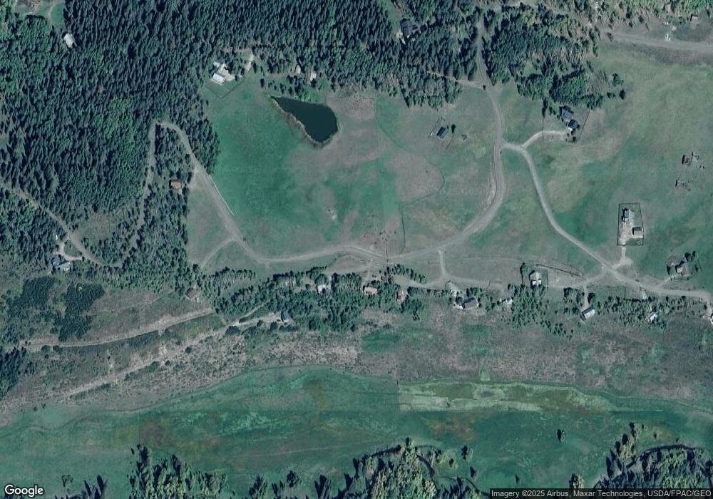
Map
Nearby Homes
- 617 Sioux Rd
- tbd Ohio Creek Rd
- 1100 Castle Dr
- 289 Star Mountain Dr
- 515 Hawk Dr
- 3750 County Road 737
- 000 Blm 3057d
- 824 County Road 826
- 8775 County Road 730
- TBD Copley Lake Rd
- 401 9th Summit
- TBD 10th St
- 980 Saddle Ridge Rd
- 3305 Wildcat Trail
- 997 Saddle Ridge Rd
- Lot 19 Hidden Mine Way
- 1610 Red Mountain Ranch Rd
- 3 Beckwith Ave
- 28 Whiterock Ave Unit 2
- 398 Journey's End Rd
- 6 Castle Dr
- 5 Castle Rd
- 1 Castle Dr
- 5 Castle Dr
- 21 Castle Rd Unit 10
- 21 Castle Rd Unit 4
- 52 Castle Creek Rd
- 794 Sioux Rd
- 0 Sioux Rd Unit 759671
- 0 Sioux Rd Unit 758814
- 0 Sioux Rd Unit 747762
- 0 Sioux Rd Unit 745325
- 0 Sioux Rd Unit 737644
- 0 Sioux Rd Unit 735492
- 0 Sioux Rd Unit 2245
- 0 Sioux Rd Unit 3745
- 0 Sioux Rd Unit 3769
- 0 Sioux Rd Unit 3877
- 0 Sioux Rd Unit 4949
- 0 Sioux Rd Unit 5025