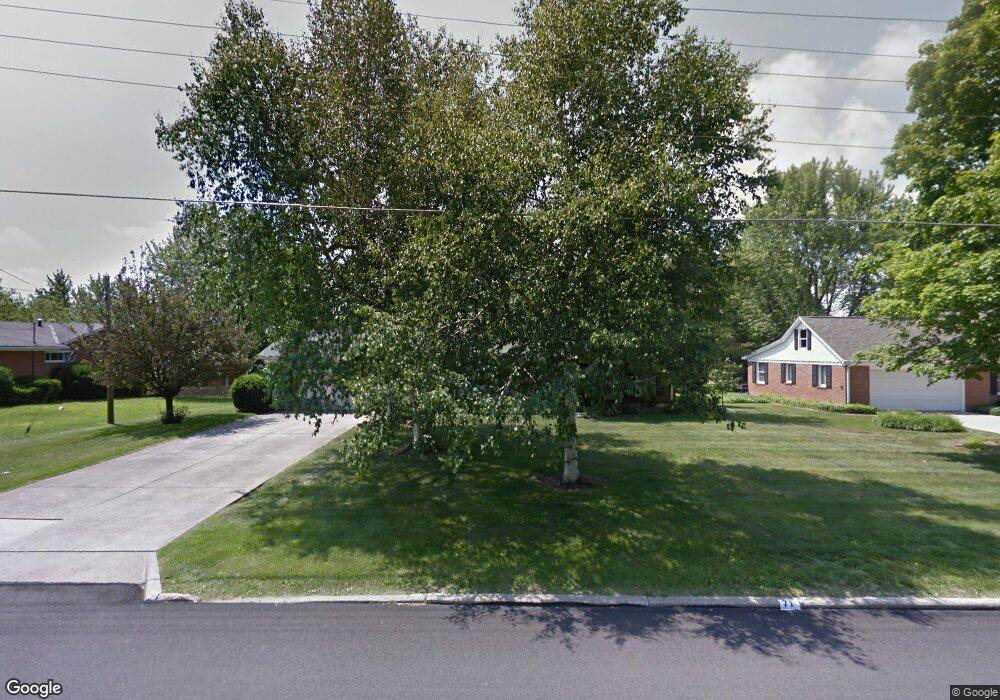
71 Elmridge Rd Mansfield, OH 44907
Estimated Value: $221,012 - $238,000
3
Beds
2
Baths
1,408
Sq Ft
$165/Sq Ft
Est. Value
About This Home
This home is located at 71 Elmridge Rd, Mansfield, OH 44907 and is currently estimated at $232,003, approximately $164 per square foot. 71 Elmridge Rd is a home located in Richland County with nearby schools including Mansfield Christian School, St. Peter's Elementary/Montessori School, and St. Peter's Junior High / High School.
Ownership History
Date
Name
Owned For
Owner Type
Purchase Details
Closed on
Jul 9, 1999
Sold by
Monachino Germine M
Bought by
Mallett Patricia A
Current Estimated Value
Home Financials for this Owner
Home Financials are based on the most recent Mortgage that was taken out on this home.
Original Mortgage
$90,000
Outstanding Balance
$24,653
Interest Rate
7.28%
Mortgage Type
New Conventional
Estimated Equity
$207,350
Purchase Details
Closed on
Sep 21, 1993
Sold by
Monachino James S
Bought by
Monachino Germaine M
Create a Home Valuation Report for This Property
The Home Valuation Report is an in-depth analysis detailing your home's value as well as a comparison with similar homes in the area
Home Values in the Area
Average Home Value in this Area
Purchase History
| Date | Buyer | Sale Price | Title Company |
|---|---|---|---|
| Mallett Patricia A | $123,000 | -- | |
| Monachino Germaine M | -- | -- |
Source: Public Records
Mortgage History
| Date | Status | Borrower | Loan Amount |
|---|---|---|---|
| Open | Mallett Patricia A | $90,000 |
Source: Public Records
Tax History
| Year | Tax Paid | Tax Assessment Tax Assessment Total Assessment is a certain percentage of the fair market value that is determined by local assessors to be the total taxable value of land and additions on the property. | Land | Improvement |
|---|---|---|---|---|
| 2024 | $2,507 | $54,770 | $9,150 | $45,620 |
| 2023 | $2,564 | $54,770 | $9,150 | $45,620 |
| 2022 | $2,329 | $41,680 | $7,980 | $33,700 |
| 2021 | $2,345 | $41,680 | $7,980 | $33,700 |
| 2020 | $2,398 | $41,680 | $7,980 | $33,700 |
| 2019 | $2,252 | $35,320 | $6,760 | $28,560 |
| 2018 | $2,221 | $35,320 | $6,760 | $28,560 |
| 2017 | $2,196 | $35,320 | $6,760 | $28,560 |
| 2016 | $2,230 | $35,340 | $6,420 | $28,920 |
| 2015 | $2,130 | $35,340 | $6,420 | $28,920 |
| 2014 | $2,103 | $35,340 | $6,420 | $28,920 |
| 2012 | $843 | $37,210 | $6,760 | $30,450 |
Source: Public Records
Map
Nearby Homes
- 104 Elmridge Rd
- 33 Rambleside Dr
- 1179 Burkwood Rd
- 65 Logan Rd
- 0 Lexington Ave Unit 224009661
- 50 Lilac Ct E
- 1599 S Main St
- 101 Chilton Ave
- 400 James Ave
- 0 George Ave
- 489 Clifton Blvd
- 810 Lexington Ave
- 0 Woodville Rd Unit Lot 14952, 14953
- 0 Woodville Rd Unit Lot 14954, 14955
- 0 Woodville Rd Unit Lot 14956, 14957,
- 794 Mansfield Washington Rd
- 575 Crescent Rd
- 470 Lexington Ave
- 466 Lexington Ave
- 716 Mansfield Washington Rd
- 75 Elmridge Rd
- 1130 Monterey Dr
- 66 Sherbrook Rd
- 70 Sherbrook Rd
- 79 Elmridge Rd
- 72 Elmridge Rd
- 1140 Monterey Dr
- 74 Elmridge Rd
- 70 Elmridge Rd
- 1150 Monterey Dr
- 74 Sherbrook Rd
- 78 Elmridge Rd
- 83 Elmridge Rd
- 66 Elmridge Rd
- 78 Sherbrook Rd
- 1131 Monterey Dr
- 67 Mccullough Blvd Unit 47
- 65 Mccullough Blvd
- 80 Elmridge Rd
- 71 Sherbrook Rd
Your Personal Tour Guide
Ask me questions while you tour the home.