Estimated Value: $188,000 - $249,000
2
Beds
2
Baths
960
Sq Ft
$217/Sq Ft
Est. Value
About This Home
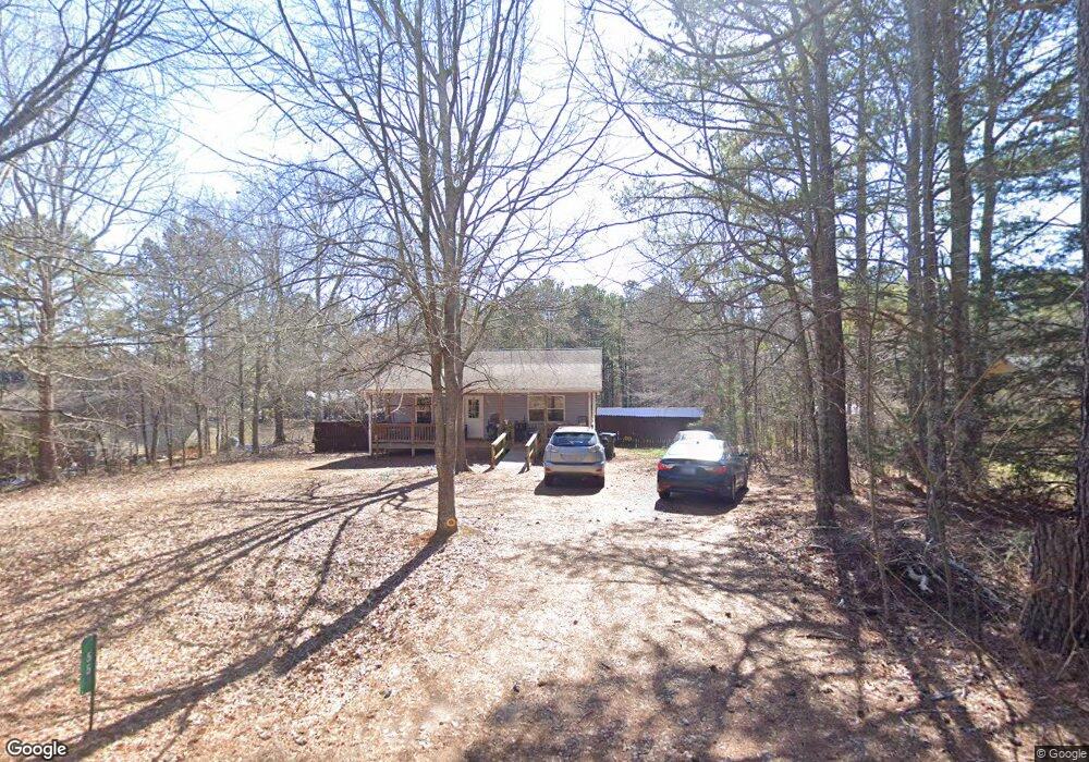
This home is located at 71 Flint St, Comer, GA 30629 and is currently estimated at $208,323, approximately $217 per square foot. 71 Flint St is a home located in Madison County with nearby schools including Madison County High School.
Ownership History
Date
Name
Owned For
Owner Type
Purchase Details
Closed on
Apr 23, 2008
Sold by
Madison Co Habitat For Hum
Bought by
Slack Rachel
Current Estimated Value
Home Financials for this Owner
Home Financials are based on the most recent Mortgage that was taken out on this home.
Original Mortgage
$49,731
Outstanding Balance
$30,973
Interest Rate
5.82%
Mortgage Type
New Conventional
Estimated Equity
$177,350
Create a Home Valuation Report for This Property
The Home Valuation Report is an in-depth analysis detailing your home's value as well as a comparison with similar homes in the area
Purchase History
| Date | Buyer | Sale Price | Title Company |
|---|---|---|---|
| Slack Rachel | $105,000 | -- |
Source: Public Records
Mortgage History
| Date | Status | Borrower | Loan Amount |
|---|---|---|---|
| Open | Slack Rachel | $49,731 | |
| Closed | Slack Rachel | $55,000 |
Source: Public Records
Tax History
| Year | Tax Paid | Tax Assessment Tax Assessment Total Assessment is a certain percentage of the fair market value that is determined by local assessors to be the total taxable value of land and additions on the property. | Land | Improvement |
|---|---|---|---|---|
| 2025 | $1,683 | $55,606 | $6,373 | $49,233 |
| 2024 | $16 | $53,999 | $6,373 | $47,626 |
| 2023 | $1,795 | $49,722 | $5,311 | $44,411 |
| 2022 | $1,353 | $42,291 | $3,653 | $38,638 |
| 2021 | $1,161 | $32,146 | $3,653 | $28,493 |
| 2020 | $1,020 | $31,615 | $3,122 | $28,493 |
| 2019 | $1,010 | $30,943 | $3,122 | $27,821 |
| 2018 | $972 | $29,682 | $2,856 | $26,826 |
| 2017 | $1,050 | $30,556 | $2,656 | $27,900 |
| 2016 | $773 | $25,651 | $2,414 | $23,237 |
| 2015 | $770 | $25,651 | $2,414 | $23,237 |
| 2014 | $772 | $25,673 | $2,173 | $23,500 |
| 2013 | -- | $25,673 | $2,173 | $23,500 |
Source: Public Records
Map
Nearby Homes
- 0 Clairmont Ave Unit 10700774
- 113 Sidetrack Cir
- 1360 Hill St
- 540 Sunset Ave
- 48 E Georgia Ave
- 125 Laurel Ave
- 77 Laurel Ave
- 12 Laurel Ave
- 130 Shannons Place
- 10 Shannons Ln
- 2633 Paoli St Unit TRACT 1
- 2665 Paoli St Unit TRACT 3
- 640 Gholston St
- 2975 Georgia 72
- 15 Shady Oaks Ln
- 116 Scarlett Oak Ln
- 52 Willow Oak Cir
- 2987 Georgia 72
- 0 Lowe Rd Unit 10614126
- 0 Paoli Rd Unit 23882833
- 55 Flint St
- 87 Flint St
- 121 Flint St
- 35 Flint St
- 1779 Hill St
- 105 Flint St
- 1725 Hill St
- 216 Flint St
- 124 Flint St
- lot 3A Hill St
- Lot 4 Hill St
- Lot 3 Hill St
- Lot 5 Hill St
- Lot 1 Hill St Unit 1
- Lot 2 Hill St Unit 2
- 0 Hill St Unit 2 Blk A 8313687
- 0 Hill St Unit 1 Blk B 8313698
- 0 Hill St Unit 2 A 7247756
- 0 Hill St Unit 1 A 7247746
- 0 Hill St Unit 2 8158952
Your Personal Tour Guide
Ask me questions while you tour the home.