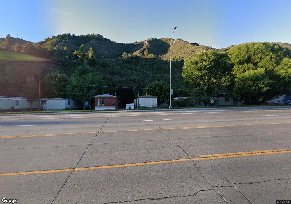
71 Glacier Point Durango, CO 81301
Estimated Value: $2,521,657 - $2,655,000
3
Beds
4
Baths
3,165
Sq Ft
$814/Sq Ft
Est. Value
About This Home
This home is located at 71 Glacier Point, Durango, CO 81301 and is currently estimated at $2,577,164, approximately $814 per square foot. 71 Glacier Point is a home located in La Plata County with nearby schools including Animas Valley Elementary School, Miller Middle School, and Durango High School.
Ownership History
Date
Name
Owned For
Owner Type
Purchase Details
Closed on
Jun 18, 2020
Sold by
Flynn Michael T and Flynn Donna R
Bought by
Michael T Flynn Qualified Personal Resid
Current Estimated Value
Purchase Details
Closed on
Oct 19, 2016
Sold by
Popp James Edwin and Popp Rebecca Freeman
Bought by
Flynn Michael T and Flynn Donna R
Purchase Details
Closed on
Oct 20, 2011
Sold by
Donna B Bachman Trust
Bought by
Popp James Edwin and Popp Rebecca Freeman
Home Financials for this Owner
Home Financials are based on the most recent Mortgage that was taken out on this home.
Original Mortgage
$780,000
Interest Rate
4.17%
Mortgage Type
Purchase Money Mortgage
Purchase Details
Closed on
Sep 5, 2007
Sold by
Bachman Donna
Bought by
Donna B Bachman Trust
Purchase Details
Closed on
Aug 20, 2007
Sold by
Glacier Developement Corpq
Bought by
Bachman Donna
Create a Home Valuation Report for This Property
The Home Valuation Report is an in-depth analysis detailing your home's value as well as a comparison with similar homes in the area
Home Values in the Area
Average Home Value in this Area
Purchase History
| Date | Buyer | Sale Price | Title Company |
|---|---|---|---|
| Michael T Flynn Qualified Personal Resid | -- | None Available | |
| Flynn Michael T | $1,225,000 | Land Title | |
| Popp James Edwin | $975,000 | Colorado Land Title Co | |
| Donna B Bachman Trust | -- | None Available | |
| Bachman Donna | -- | None Available | |
| Glacier Development Corp | -- | None Available |
Source: Public Records
Mortgage History
| Date | Status | Borrower | Loan Amount |
|---|---|---|---|
| Previous Owner | Popp James Edwin | $780,000 |
Source: Public Records
Tax History Compared to Growth
Tax History
| Year | Tax Paid | Tax Assessment Tax Assessment Total Assessment is a certain percentage of the fair market value that is determined by local assessors to be the total taxable value of land and additions on the property. | Land | Improvement |
|---|---|---|---|---|
| 2025 | $12,200 | $167,030 | $27,660 | $139,370 |
| 2024 | $11,354 | $114,750 | $28,600 | $86,150 |
| 2023 | $11,354 | $118,580 | $29,560 | $89,020 |
| 2022 | $9,249 | $122,860 | $30,620 | $92,240 |
| 2021 | $9,581 | $98,790 | $21,050 | $77,740 |
| 2020 | $9,195 | $96,040 | $19,980 | $76,060 |
| 2019 | $8,506 | $96,040 | $19,980 | $76,060 |
| 2018 | $7,812 | $88,240 | $15,420 | $72,820 |
| 2017 | $7,740 | $88,240 | $15,420 | $72,820 |
| 2016 | $8,389 | $98,930 | $25,330 | $73,600 |
| 2015 | $4,072 | $98,930 | $25,330 | $73,600 |
| 2014 | $4,072 | $96,980 | $24,560 | $72,420 |
| 2013 | -- | $96,980 | $24,560 | $72,420 |
Source: Public Records
Map
Nearby Homes
- 444 Glacier Cliff Dr
- 80 Royal Elk Trail
- 163 Peregrine Dr
- 314 N Tamarron Dr Unit 506
- 314 N Tamarron Dr Unit 412
- 314 N Tamarron Dr Unit 312
- 314 N Tamarron Dr Unit 207
- 314 N Tamarron Dr Unit 315
- 314 N Tamarron Dr Unit 321/323
- 314 N Tamarron Dr Unit 406
- 314 N Tamarron Dr Unit 203
- 314 N Tamarron Dr Unit 205
- 314 N Tamarron Dr Unit 331
- 314 N Tamarron Dr Unit 343
- 314 N Tamarron Dr Unit 231
- 314 N Tamarron Dr Unit 418
- 314 N Tamarron Dr Unit 219
- 314 N Tamarron Dr Unit 235
- 314 N Tamarron Dr Unit 510
- 961 N Tamarron Dr Unit 559
- 103 Glacier Cliff Dr Unit 32)
- 103 Glacier Cliff Dr
- 84 Glacier Unit 8
- 123 Glacier Cliff Dr Unit 31)
- 123 Glacier Cliff Dr
- 104 Outlaw Dr Unit 3A
- 104 Outlaw Dr Unit 2A
- 104 Outlaw Dr
- 95 Bluff Dr
- 0 Bluff Dr Unit 755269
- 0 Bluff Drive (#27) Dr Unit 738346
- 0 Bluff Dr Unit 667948
- 0 Bluff Dr Unit 694082
- 0 Bluff Dr Unit 694997
- 0 Bluff Dr Unit 703119
- 0 Bluff Drive (#27) Dr Unit 724658
- 129 Bluff Dr
- 26 Royal Elk Trail
- 26 Royal Elk Trail Unit Royal Elk Cabin 10
- 26 Royal Elk Trail Unit Royal Elk Cabin 26
