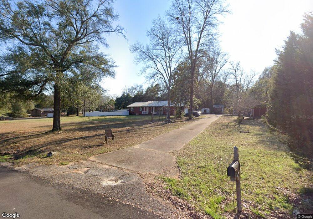
71 Grantham Cir Enterprise, AL 36330
Estimated Value: $232,000 - $289,000
Studio
--
Bath
1,962
Sq Ft
$137/Sq Ft
Est. Value
About This Home
This home is located at 71 Grantham Cir, Enterprise, AL 36330 and is currently estimated at $267,961, approximately $136 per square foot. 71 Grantham Cir is a home located in Dale County with nearby schools including Rucker Boulevard Elementary School, Coppinville School, and Enterprise High School.
Ownership History
Date
Name
Owned For
Owner Type
Purchase Details
Closed on
Sep 3, 2021
Sold by
Moody Arnel J
Bought by
Moody Arnel J
Current Estimated Value
Home Financials for this Owner
Home Financials are based on the most recent Mortgage that was taken out on this home.
Original Mortgage
$189,720
Outstanding Balance
$170,357
Interest Rate
2.8%
Mortgage Type
VA
Estimated Equity
$97,604
Purchase Details
Closed on
Jul 15, 2016
Sold by
Moody Arnel J and Senn Amanda Christine
Bought by
Moody Arnel J
Create a Home Valuation Report for This Property
The Home Valuation Report is an in-depth analysis detailing your home's value as well as a comparison with similar homes in the area
Home Values in the Area
Average Home Value in this Area
Purchase History
We collect this data history from publicly available records. To have your information removed, we recommend requesting removal directly through your county’s website.
| Date | Buyer | Sale Price | Title Company |
|---|---|---|---|
| Moody Arnel J | -- | None Available | |
| Moody Arnel J | $143,950 | -- |
Source: Public Records
Mortgage History
We collect this data history from publicly available records. To have your information removed, we recommend requesting removal directly through your county’s website.
| Date | Status | Borrower | Loan Amount |
|---|---|---|---|
| Open | Moody Arnel J | $189,720 |
Source: Public Records
Tax History
| Year | Tax Paid | Tax Assessment Tax Assessment Total Assessment is a certain percentage of the fair market value that is determined by local assessors to be the total taxable value of land and additions on the property. | Land | Improvement |
|---|---|---|---|---|
| 2025 | $1,094 | $31,480 | $11,320 | $20,160 |
| 2024 | $1,094 | $23,960 | $5,080 | $18,880 |
| 2023 | $827 | $21,480 | $5,080 | $16,400 |
| 2022 | $663 | $19,340 | $7,100 | $12,240 |
| 2021 | $622 | $18,200 | $5,080 | $13,120 |
| 2020 | $622 | $18,180 | $3,120 | $15,060 |
| 2019 | $621 | $18,180 | $3,120 | $15,060 |
| 2018 | $628 | $18,360 | $2,940 | $15,420 |
| 2017 | $611 | $17,880 | $2,840 | $15,040 |
| 2016 | $487 | $14,400 | $2,840 | $11,560 |
| 2015 | $1,117 | $30,620 | $5,700 | $24,920 |
| 2014 | $513 | $15,120 | $2,840 | $12,280 |
| 2013 | $506 | $15,120 | $2,840 | $12,280 |
Source: Public Records
Map
Nearby Homes
- 501 Thomas Rd
- 75 Spearhead Dr
- 1216 Joe Bruer Rd
- 1062 & 1092 Joe Bruer Rd
- 111 Oak Lake Dr
- 904 Joe Bruer Rd
- 139 Southern Dr
- 98 Southern Dr
- 523 Averett St
- 267 Maree Dr
- 108 Trent Rd
- 659 County Road 109
- 203 Scotty Ln
- 216 Rolling Pines Dr
- 216 Private Road 1428
- 156 County Road 737
- 106 Acres County Road 705
- 0 Private Road 1705 Unit 186609
- 14 County Road 737
- 10936 County Road 1
Your Personal Tour Guide
Ask me questions while you tour the home.