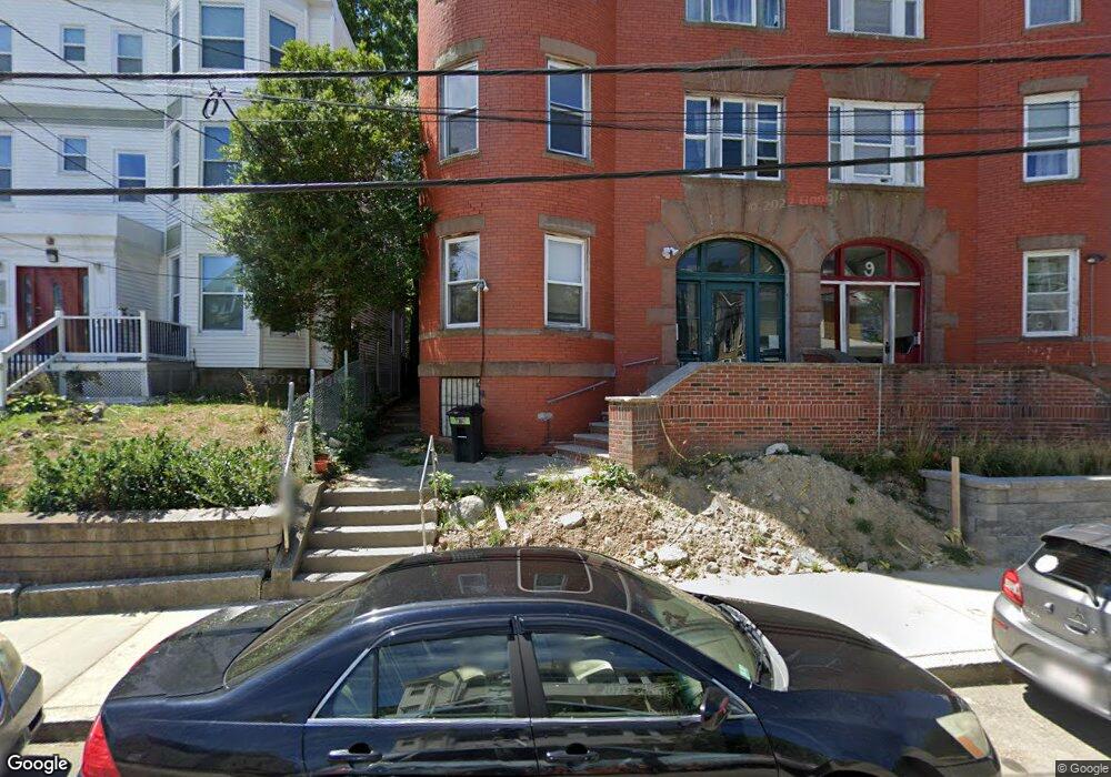
71 Homestead St Unit 1 Dorchester, MA 02121
Washington Park NeighborhoodEstimated Value: $849,000 - $1,203,000
3
Beds
1
Bath
4,659
Sq Ft
$218/Sq Ft
Est. Value
About This Home
This home is located at 71 Homestead St Unit 1, Dorchester, MA 02121 and is currently estimated at $1,014,667, approximately $217 per square foot. 71 Homestead St Unit 1 is a home located in Suffolk County with nearby schools including Bridge Boston Charter School and Mother Caroline Academy & Education Center.
Ownership History
Date
Name
Owned For
Owner Type
Purchase Details
Closed on
Aug 30, 2006
Sold by
Hobbs Becky L and Davis Britta M
Bought by
Hobbs Becky L
Current Estimated Value
Purchase Details
Closed on
Sep 28, 1994
Sold by
Department Of Housing & Urban Dev
Bought by
Hobbs Becky L
Home Financials for this Owner
Home Financials are based on the most recent Mortgage that was taken out on this home.
Original Mortgage
$43,500
Interest Rate
8.5%
Mortgage Type
Purchase Money Mortgage
Purchase Details
Closed on
Jul 1, 1993
Sold by
Owens Herbert and Resolution Trust Corp
Bought by
Rtc
Create a Home Valuation Report for This Property
The Home Valuation Report is an in-depth analysis detailing your home's value as well as a comparison with similar homes in the area
Home Values in the Area
Average Home Value in this Area
Purchase History
| Date | Buyer | Sale Price | Title Company |
|---|---|---|---|
| Hobbs Becky L | -- | -- | |
| Hobbs Becky L | $58,000 | -- | |
| Rtc | $80,500 | -- |
Source: Public Records
Mortgage History
| Date | Status | Borrower | Loan Amount |
|---|---|---|---|
| Previous Owner | Rtc | $255,000 | |
| Previous Owner | Rtc | $43,500 | |
| Previous Owner | Rtc | $55,636 | |
| Closed | Rtc | $11,000 |
Source: Public Records
Tax History Compared to Growth
Tax History
| Year | Tax Paid | Tax Assessment Tax Assessment Total Assessment is a certain percentage of the fair market value that is determined by local assessors to be the total taxable value of land and additions on the property. | Land | Improvement |
|---|---|---|---|---|
| 2025 | $7,775 | $671,400 | $161,700 | $509,700 |
| 2024 | $7,318 | $671,400 | $161,700 | $509,700 |
| 2023 | $6,439 | $599,500 | $144,400 | $455,100 |
| 2022 | $6,523 | $599,500 | $144,400 | $455,100 |
| 2021 | $6,397 | $599,500 | $144,400 | $455,100 |
| 2020 | $5,739 | $543,500 | $139,200 | $404,300 |
| 2019 | $5,113 | $485,100 | $102,900 | $382,200 |
| 2018 | $4,840 | $461,800 | $102,900 | $358,900 |
| 2017 | $4,890 | $461,800 | $102,900 | $358,900 |
| 2016 | $4,422 | $402,000 | $102,900 | $299,100 |
| 2015 | $4,270 | $352,600 | $86,100 | $266,500 |
| 2014 | $3,961 | $314,900 | $86,100 | $228,800 |
Source: Public Records
Map
Nearby Homes
- 75 Ruthven St
- 214 Humboldt Ave
- 78 Hutchings St Unit 1
- 9 Abbotsford St Unit 1
- 4 Ruthven St
- 164 Ruthven St Unit 1
- 28 Wabon St
- 41 W Walnut Park
- 27 Dixwell St Unit 11
- 27 Dixwell St Unit 12
- 27 Dixwell St Unit 4
- 1-3 Glines Ave
- 99 Harrishof St
- 7 Waumbeck St Unit 3
- 151 Townsend St
- 20 Chilcott Place
- 4 Wyoming St Unit 2
- 495 Warren St
- 73 Montebello Rd Unit 2
- 32 Hartwell St
- 71 Homestead St
- 71 Homestead St Unit 2
- 69 Homestead St
- 75 Homestead St
- 75 Homestead St Unit 4
- 75 Homestead St Unit 3
- 75 Homestead St Unit 6
- 75 Homestead St Unit 5
- 75 Homestead St Unit 2
- 75 Homestead St Unit 1
- 74 Homestead St Unit 1
- 115 Hutchings St Unit 115R
- 68 Homestead St
- 72 Homestead St
- 105 Hutchings St
- 111 Hutchings St
- 111 Hutchings St Unit 7
- 111 Hutchings St Unit 6
- 111 Hutchings St Unit 5
- 111 Hutchings St Unit 4