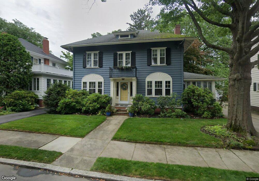
71 Lorraine Ave Providence, RI 02906
Blackstone NeighborhoodEstimated Value: $1,032,000 - $1,389,000
4
Beds
4
Baths
2,369
Sq Ft
$501/Sq Ft
Est. Value
About This Home
This home is located at 71 Lorraine Ave, Providence, RI 02906 and is currently estimated at $1,186,639, approximately $500 per square foot. 71 Lorraine Ave is a home located in Providence County with nearby schools including Asa Messer Elementary School, Charles N. Fortes Elementary School, and Veazie Street Elementary School.
Ownership History
Date
Name
Owned For
Owner Type
Purchase Details
Closed on
Jan 7, 2005
Sold by
Gilchrist Anthony G and Gilchrist Ann D
Bought by
Aliotta Heather M and Aliotta Jason M
Current Estimated Value
Purchase Details
Closed on
Apr 20, 2001
Sold by
Duffy Angeline C
Bought by
Gilchrist Anthony G and Gilchrist Anne D
Create a Home Valuation Report for This Property
The Home Valuation Report is an in-depth analysis detailing your home's value as well as a comparison with similar homes in the area
Home Values in the Area
Average Home Value in this Area
Purchase History
| Date | Buyer | Sale Price | Title Company |
|---|---|---|---|
| Aliotta Heather M | $520,000 | -- | |
| Gilchrist Anthony G | $425,000 | -- |
Source: Public Records
Mortgage History
| Date | Status | Borrower | Loan Amount |
|---|---|---|---|
| Open | Gilchrist Anthony G | $378,000 | |
| Closed | Gilchrist Anthony G | $395,550 |
Source: Public Records
Tax History Compared to Growth
Tax History
| Year | Tax Paid | Tax Assessment Tax Assessment Total Assessment is a certain percentage of the fair market value that is determined by local assessors to be the total taxable value of land and additions on the property. | Land | Improvement |
|---|---|---|---|---|
| 2025 | $7,817 | $930,600 | $535,100 | $395,500 |
| 2024 | $13,531 | $737,400 | $357,400 | $380,000 |
| 2023 | $13,531 | $737,400 | $357,400 | $380,000 |
| 2022 | $13,126 | $737,400 | $357,400 | $380,000 |
| 2021 | $13,783 | $561,200 | $278,700 | $282,500 |
| 2020 | $13,456 | $547,900 | $278,700 | $269,200 |
| 2019 | $13,456 | $547,900 | $278,700 | $269,200 |
| 2018 | $15,635 | $489,200 | $253,400 | $235,800 |
| 2017 | $15,635 | $489,200 | $253,400 | $235,800 |
| 2016 | $15,635 | $489,200 | $253,400 | $235,800 |
| 2015 | $14,928 | $451,000 | $244,400 | $206,600 |
| 2014 | $15,221 | $451,000 | $244,400 | $206,600 |
| 2013 | $15,221 | $451,000 | $244,400 | $206,600 |
Source: Public Records
Map
Nearby Homes
- 234 President Ave Unit 16
- 189 Laurel Ave Unit 189
- 160 Slater Ave
- 188 Blackstone Blvd
- 184 Irving Ave Unit 1
- 134 Irving Ave
- 80 Clarendon Ave
- 140 Freeman Pkwy
- 141 Elton St
- 22 Miles Ave Unit 1
- 125 Taber Ave
- 294 Cole Ave
- 296 Cole Ave
- 201 Arlington Ave
- 360 Taber Ave
- 537 Angell St Unit 3
- 41 Stadium Rd
- 41 Taber Ave
- 30 S Angell St Unit 2
- 19 S Angell St Unit 2
- 67 Lorraine Ave
- 75 Lorraine Ave
- 112 Slater Ave
- 100 Slater Ave
- 102 Slater Ave
- 61 Lorraine Ave
- 85 Lorraine Ave
- 78 Lorraine Ave
- 120 Slater Ave
- 68 Lorraine Ave
- 94 Slater Ave
- 55 Lorraine Ave
- 86 Lorraine Ave
- 60 Lorraine Ave
- 97 Lorraine Ave
- 130 Slater Ave
- 88 Slater Ave
- 115 Cole Ave
- 52 Lorraine Ave
- 107 Cole Ave