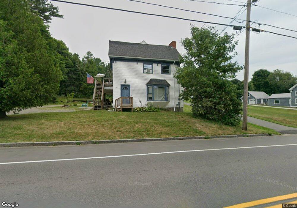
71 Main St Winterport, ME 04496
Estimated Value: $270,173 - $321,000
1
Bed
2
Baths
--
Sq Ft
0.31
Acres
About This Home
Property Id: 1617786
Second floor .. interior entrance. One bedroom in 3 unit building. Owner onsite. Quiet village area close to convenience store, brewery, take out restaurant.
Apartment has kitchen/livingroom combo, large bedroom and bathroom and great storage.
Utilities included. Pets negotiable.
WiFi available for additional fee.
Monthly Rent $1150.
Security Deposit $1150
Non refundable pet deposit may apply.
Application, background check & references needed.
6 month or 1 year lease.
Apartment available now.
Easy travel /commute distance to Bangor, Brewer, Bucksport, Belfast
Ownership History
Date
Name
Owned For
Owner Type
Purchase Details
Closed on
Dec 27, 2005
Sold by
Jp Morgan Chase Bank
Bought by
Robbins Dale A
Current Estimated Value
Create a Home Valuation Report for This Property
The Home Valuation Report is an in-depth analysis detailing your home's value as well as a comparison with similar homes in the area
Home Values in the Area
Average Home Value in this Area
Purchase History
| Date | Buyer | Sale Price | Title Company |
|---|---|---|---|
| Robbins Dale A | -- | -- | |
| Robbins Dale A | -- | -- | |
| Robbins Dale A | -- | -- |
Source: Public Records
Mortgage History
| Date | Status | Borrower | Loan Amount |
|---|---|---|---|
| Open | Robbins Dale A | $132,275 | |
| Closed | Robbins Dale A | $132,275 | |
| Closed | Robbins Dale A | $89,500 |
Source: Public Records
Property History
| Date | Event | Price | List to Sale | Price per Sq Ft |
|---|---|---|---|---|
| 10/08/2024 10/08/24 | Off Market | $1,150 | -- | -- |
| 10/03/2024 10/03/24 | For Rent | $1,150 | -- | -- |
Tax History Compared to Growth
Tax History
| Year | Tax Paid | Tax Assessment Tax Assessment Total Assessment is a certain percentage of the fair market value that is determined by local assessors to be the total taxable value of land and additions on the property. | Land | Improvement |
|---|---|---|---|---|
| 2024 | $3,197 | $240,400 | $24,000 | $216,400 |
| 2016 | $1,760 | $129,000 | $18,700 | $110,300 |
| 2015 | $1,717 | $129,000 | $18,700 | $110,300 |
| 2014 | $1,727 | $129,000 | $18,700 | $110,300 |
| 2013 | $1,709 | $129,000 | $18,700 | $110,300 |
| 2010 | -- | $114,000 | $0 | $0 |
Source: Public Records
Map
Nearby Homes
- 4 Church St
- 19 Rob Clark St
- 297 S Main St
- 177 Lebanon Rd
- 20 Coles Corner Rd
- 33 Coles Corner Rd
- 36 Marine St
- 52 Mechanic St
- 33 Mountainview Dr
- 337 Town Farm Rd
- 985 N North Main St
- 1174 River Rd
- 1183 River Rd
- 313 Town Farm Rd
- 19 Schoolhouse Rd
- 00 River Rd
- 41-1 Town Farm Rd
- 00 Kenney Dr
- 533 Lebanon Rd
- 130 Town Farm Rd