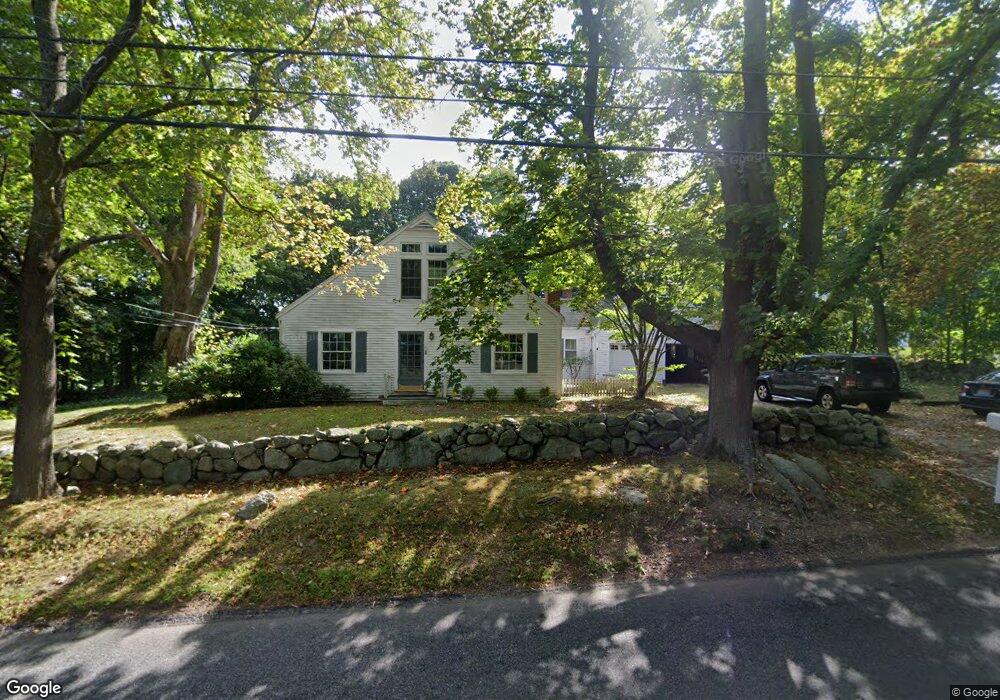
71 Mann Lot Rd Scituate, MA 02066
Estimated Value: $813,921 - $1,117,000
3
Beds
2
Baths
1,985
Sq Ft
$492/Sq Ft
Est. Value
About This Home
This home is located at 71 Mann Lot Rd, Scituate, MA 02066 and is currently estimated at $977,230, approximately $492 per square foot. 71 Mann Lot Rd is a home located in Plymouth County with nearby schools including Cushing Elementary School, Lester J. Gates Middle School, and Scituate High School.
Ownership History
Date
Name
Owned For
Owner Type
Purchase Details
Closed on
Oct 31, 2000
Sold by
Dike Roderick A and Dike Kathleen G
Bought by
Cunningham Caren A
Current Estimated Value
Home Financials for this Owner
Home Financials are based on the most recent Mortgage that was taken out on this home.
Original Mortgage
$304,000
Outstanding Balance
$111,618
Interest Rate
7.83%
Mortgage Type
Purchase Money Mortgage
Estimated Equity
$865,612
Create a Home Valuation Report for This Property
The Home Valuation Report is an in-depth analysis detailing your home's value as well as a comparison with similar homes in the area
Home Values in the Area
Average Home Value in this Area
Purchase History
| Date | Buyer | Sale Price | Title Company |
|---|---|---|---|
| Cunningham Caren A | $380,000 | -- |
Source: Public Records
Mortgage History
| Date | Status | Borrower | Loan Amount |
|---|---|---|---|
| Open | Cunningham Caren A | $304,000 | |
| Previous Owner | Cunningham Caren A | $145,000 | |
| Previous Owner | Cunningham Caren A | $108,300 | |
| Previous Owner | Cunningham Caren A | $40,000 |
Source: Public Records
Tax History
| Year | Tax Paid | Tax Assessment Tax Assessment Total Assessment is a certain percentage of the fair market value that is determined by local assessors to be the total taxable value of land and additions on the property. | Land | Improvement |
|---|---|---|---|---|
| 2025 | $6,926 | $693,300 | $365,600 | $327,700 |
| 2024 | $6,822 | $658,500 | $332,400 | $326,100 |
| 2023 | $7,015 | $614,200 | $319,900 | $294,300 |
| 2022 | $7,015 | $555,900 | $309,100 | $246,800 |
| 2021 | $6,745 | $506,000 | $294,400 | $211,600 |
| 2020 | $6,545 | $484,800 | $283,100 | $201,700 |
| 2019 | $6,465 | $470,500 | $277,500 | $193,000 |
| 2018 | $6,533 | $468,300 | $287,500 | $180,800 |
| 2017 | $6,436 | $456,800 | $276,000 | $180,800 |
| 2016 | $6,134 | $433,800 | $253,000 | $180,800 |
| 2015 | $5,532 | $422,300 | $241,500 | $180,800 |
Source: Public Records
Map
Nearby Homes
- 629 Country Way
- 11 Forest Ln
- 9 Forest Ln Unit 9
- 22 Forest Ln Unit 22
- 26 Mordecai Lincoln Rd
- 48 Captain Peirce Rd
- 817 Country Way
- 54 Woodland Rd
- 33 Rosas Ln
- 74 Branch St Unit 15
- 71 Ledgewood Dr
- 0 Bates Ln (Lot E Kevin's Way) Unit 73419598
- 764 First Parish Rd
- 449 Clapp Rd
- 455 Clapp Rd
- 453 Clapp Rd
- 451 Clapp Rd
- 453 - 455 Clapp Rd
- 27 Ox Pasture Ln
- 125 Maple St
- 75 Mann Lot Rd
- 81 Mann Lot Rd
- 79 Mann Lot Rd
- 6 Creelman Dr
- 12 Boulder Ln
- 66 Mann Lot Rd
- 66 Mann Lot Rd Unit R
- 66 Mann Lot Rd Unit 66 R
- 61 Mann Lot Rd
- 9 Boulder Ln
- 80 Mann Lot Rd
- 8 Boulder Ln
- 58 Mann Lot Rd
- 4 Creelman Dr
- 16 Creelman Dr
- 57 Mann Lot Rd
- 86 Mann Lot Rd
- 22 Creelman Dr
- 32 Pratt Rd
- 54 Mann Lot Rd