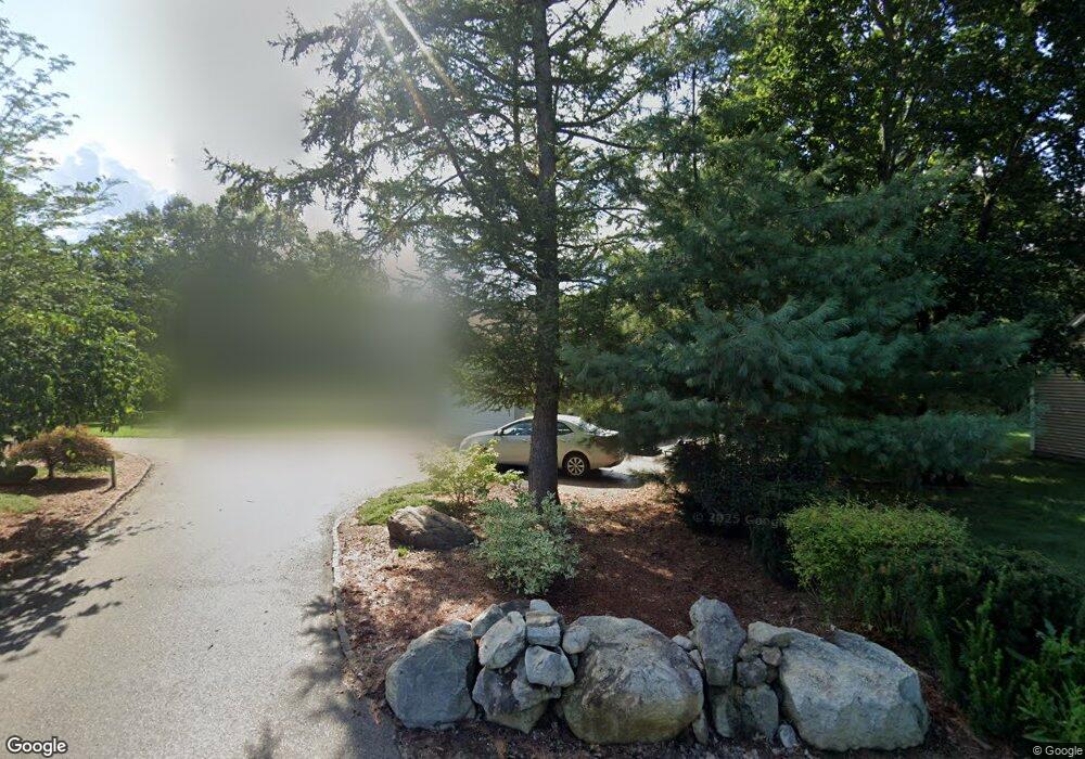
71 Middle Dunstable Rd Nashua, NH 03062
Southwest Nashua NeighborhoodEstimated Value: $741,000 - $851,000
4
Beds
3
Baths
2,488
Sq Ft
$317/Sq Ft
Est. Value
About This Home
This home is located at 71 Middle Dunstable Rd, Nashua, NH 03062 and is currently estimated at $788,591, approximately $316 per square foot. 71 Middle Dunstable Rd is a home located in Hillsborough County with nearby schools including Bicentennial Elementary School, Fairgrounds Middle School, and Nashua High School South.
Ownership History
Date
Name
Owned For
Owner Type
Purchase Details
Closed on
Dec 8, 2017
Sold by
Orino Thomas P and Orino Karen P
Bought by
Orino Joint Ret and Orino
Current Estimated Value
Purchase Details
Closed on
Oct 25, 2010
Sold by
Kray Albert R
Bought by
Orino Thomas P and Phalan-Orino Karen
Home Financials for this Owner
Home Financials are based on the most recent Mortgage that was taken out on this home.
Original Mortgage
$199,700
Interest Rate
4.37%
Mortgage Type
Purchase Money Mortgage
Purchase Details
Closed on
Jun 22, 2007
Sold by
Piekarski Mark W
Bought by
Chrisicos Michelle L
Home Financials for this Owner
Home Financials are based on the most recent Mortgage that was taken out on this home.
Original Mortgage
$359,910
Interest Rate
6.14%
Mortgage Type
Purchase Money Mortgage
Create a Home Valuation Report for This Property
The Home Valuation Report is an in-depth analysis detailing your home's value as well as a comparison with similar homes in the area
Home Values in the Area
Average Home Value in this Area
Purchase History
| Date | Buyer | Sale Price | Title Company |
|---|---|---|---|
| Orino Joint Ret | -- | -- | |
| Orino Thomas P | $269,900 | -- | |
| Chrisicos Michelle L | $399,900 | -- |
Source: Public Records
Mortgage History
| Date | Status | Borrower | Loan Amount |
|---|---|---|---|
| Previous Owner | Chrisicos Michelle L | $185,000 | |
| Previous Owner | Chrisicos Michelle L | $199,700 | |
| Previous Owner | Chrisicos Michelle L | $359,910 |
Source: Public Records
Tax History
| Year | Tax Paid | Tax Assessment Tax Assessment Total Assessment is a certain percentage of the fair market value that is determined by local assessors to be the total taxable value of land and additions on the property. | Land | Improvement |
|---|---|---|---|---|
| 2025 | $12,548 | $745,600 | $190,300 | $555,300 |
| 2024 | $11,855 | $745,600 | $190,300 | $555,300 |
| 2023 | $11,456 | $628,400 | $152,200 | $476,200 |
| 2022 | $11,355 | $628,400 | $152,200 | $476,200 |
| 2021 | $10,412 | $448,400 | $111,600 | $336,800 |
| 2020 | $9,835 | $435,000 | $111,600 | $323,400 |
| 2019 | $9,466 | $435,000 | $111,600 | $323,400 |
| 2018 | $9,226 | $435,000 | $111,600 | $323,400 |
| 2017 | $9,444 | $366,200 | $86,900 | $279,300 |
| 2016 | $9,181 | $366,200 | $86,900 | $279,300 |
| 2015 | $8,983 | $366,200 | $86,900 | $279,300 |
| 2014 | $8,805 | $366,100 | $86,900 | $279,200 |
Source: Public Records
Map
Nearby Homes
- 20 Georgetown Dr
- 11 Lojko Dr
- 6 Green Heron Ln Unit U22
- 38 Georgetown Dr
- 13 Wilderness Dr
- 141 Ridge Rd
- 8 Wilderness Dr
- 58 Wilderness Dr
- 8 Hikers Ln
- 4 Hikers Ln
- 4 Wilderness Dr
- 16 Stillwater Dr Unit U111
- 15 Wilderness Dr
- 79 Wilderness Dr
- 2 Wilderness Dr
- 57 Wilderness Dr
- 6 Wilderness Dr
- 3 Wilderness Dr
- 77 Wilderness Dr
- 59 Wilderness Dr
- 73 Middle Dunstable Rd
- 67 Middle Dunstable Rd
- 63 Middle Dunstable Rd
- 103 Middle Dunstable Rd
- 3 Lojko Dr
- 61 Middle Dunstable Rd
- 12 Poliquin Dr
- 4 Lojko Dr
- 25 Georgetown Dr
- 00 Middle Dunstable Rd
- 100 Middle Dunstable Rd
- 70 Middle Dunstable Rd
- 11 Georgetown Dr
- 11 Georgetown Dr Unit 11
- 59 Middle Dunstable Rd
- 9 Georgetown Dr
- 5 Dion Ln
- 68 Middle Dunstable Rd
- 7 Georgetown Dr
- 6 Lojko Dr
Your Personal Tour Guide
Ask me questions while you tour the home.