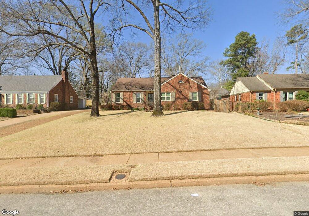
71 N Oak Grove Rd Memphis, TN 38120
Audubon Park NeighborhoodEstimated Value: $308,000 - $335,000
3
Beds
2
Baths
1,845
Sq Ft
$175/Sq Ft
Est. Value
About This Home
This home is located at 71 N Oak Grove Rd, Memphis, TN 38120 and is currently estimated at $322,989, approximately $175 per square foot. 71 N Oak Grove Rd is a home located in Shelby County with nearby schools including Richland Elementary School, White Station Middle, and White Station High.
Ownership History
Date
Name
Owned For
Owner Type
Purchase Details
Closed on
Sep 30, 1999
Sold by
Ratcliff James C
Bought by
Sessums Janet Irene
Current Estimated Value
Home Financials for this Owner
Home Financials are based on the most recent Mortgage that was taken out on this home.
Original Mortgage
$136,000
Outstanding Balance
$41,127
Interest Rate
7.85%
Estimated Equity
$281,862
Purchase Details
Closed on
Jan 10, 1997
Sold by
Mitchell Jack and Mitchell Ramona Ann
Bought by
Ratcliff James Charles
Home Financials for this Owner
Home Financials are based on the most recent Mortgage that was taken out on this home.
Original Mortgage
$123,200
Interest Rate
7.43%
Create a Home Valuation Report for This Property
The Home Valuation Report is an in-depth analysis detailing your home's value as well as a comparison with similar homes in the area
Home Values in the Area
Average Home Value in this Area
Purchase History
| Date | Buyer | Sale Price | Title Company |
|---|---|---|---|
| Sessums Janet Irene | $170,000 | -- | |
| Ratcliff James Charles | $154,000 | -- |
Source: Public Records
Mortgage History
| Date | Status | Borrower | Loan Amount |
|---|---|---|---|
| Open | Sessums Janet Irene | $136,000 | |
| Previous Owner | Ratcliff James Charles | $123,200 |
Source: Public Records
Tax History Compared to Growth
Tax History
| Year | Tax Paid | Tax Assessment Tax Assessment Total Assessment is a certain percentage of the fair market value that is determined by local assessors to be the total taxable value of land and additions on the property. | Land | Improvement |
|---|---|---|---|---|
| 2025 | $2,310 | $77,300 | $19,125 | $58,175 |
| 2024 | -- | $68,150 | $19,125 | $49,025 |
| 2023 | $4,151 | $68,150 | $19,125 | $49,025 |
| 2022 | $4,151 | $68,150 | $19,125 | $49,025 |
| 2021 | $4,200 | $68,150 | $19,125 | $49,025 |
| 2020 | $3,697 | $51,025 | $15,900 | $35,125 |
| 2019 | $3,697 | $51,025 | $15,900 | $35,125 |
| 2018 | $3,697 | $51,025 | $15,900 | $35,125 |
| 2017 | $2,097 | $51,025 | $15,900 | $35,125 |
| 2016 | $1,957 | $44,775 | $0 | $0 |
| 2014 | $1,957 | $44,775 | $0 | $0 |
Source: Public Records
Map
Nearby Homes
- 5504 Normandy Rd
- 5429 Normandy Rd
- 5429 Walnut Grove Rd
- 5532 Gwynne Rd
- 5575 Walnut Grove Rd
- 5385 Walnut Grove Rd
- 5360 Normandy Ave
- 5649 Normandy Rd
- 5395 Gwynne Rd
- 5681 Normandy Rd
- 221 N Yates Rd
- 5676 Walnut Grove Place
- 5690 Walnut Grove Rd
- 19 E Yates Rd S
- 5680 N Angela Rd
- 5702 Buxbriar Ave
- 192 N White Station Rd
- 151 N White Station Rd
- 5516 Sycamore Grove Ln
- 50 Grove Dale St
- 79 N Oak Grove Rd
- 63 N Oak Grove Rd
- 87 N Oak Grove Rd
- 5509 Normandy Ave
- 5504 Normandy Ave
- 5478 Southwood Dr
- 97 N Oak Grove Rd
- 5508 Southwood Dr
- 5517 Normandy Ave
- 5468 Southwood Dr
- 5516 Normandy Rd
- 5516 Normandy Ave
- 5449 Normandy Ave
- 5457 Normandy Ave
- 5507 Barfield Rd
- 105 N Oak Grove Rd
- 5518 Southwood Dr
- 5525 Normandy Ave
- 5525 Normandy Rd
- 5524 Normandy Ave