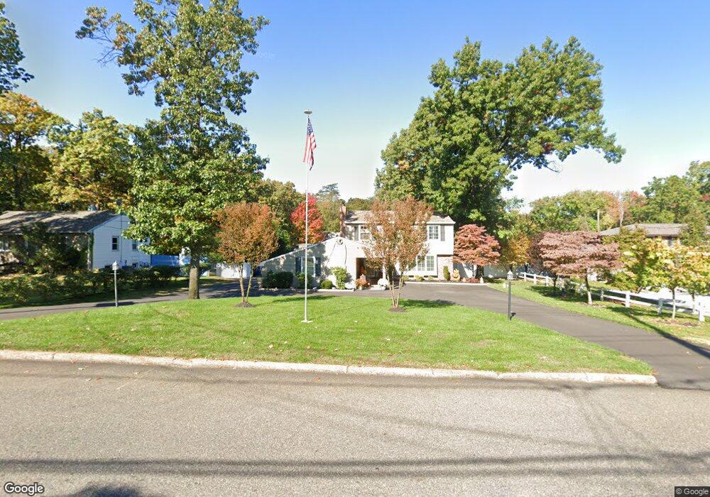
71 Pancoast Blvd Delran, NJ 08075
Estimated Value: $494,000 - $525,720
--
Bed
--
Bath
2,337
Sq Ft
$220/Sq Ft
Est. Value
About This Home
This home is located at 71 Pancoast Blvd, Delran, NJ 08075 and is currently estimated at $513,180, approximately $219 per square foot. 71 Pancoast Blvd is a home located in Burlington County with nearby schools including Millbridge Elementary School, Delran Intermediate School, and Delran Middle School.
Ownership History
Date
Name
Owned For
Owner Type
Purchase Details
Closed on
Apr 24, 2004
Sold by
Eldridge Thomas A and Eldridge Michele
Bought by
Burgess Raymond and Burgess Diane M
Current Estimated Value
Home Financials for this Owner
Home Financials are based on the most recent Mortgage that was taken out on this home.
Original Mortgage
$147,000
Outstanding Balance
$70,524
Interest Rate
5.94%
Mortgage Type
Purchase Money Mortgage
Estimated Equity
$442,656
Purchase Details
Closed on
Dec 3, 1999
Sold by
Clauss Robert W and Clauss Alice V
Bought by
Eldridge Thomas A and Eldridge Michele
Home Financials for this Owner
Home Financials are based on the most recent Mortgage that was taken out on this home.
Original Mortgage
$125,000
Interest Rate
7.79%
Mortgage Type
Stand Alone First
Create a Home Valuation Report for This Property
The Home Valuation Report is an in-depth analysis detailing your home's value as well as a comparison with similar homes in the area
Home Values in the Area
Average Home Value in this Area
Purchase History
| Date | Buyer | Sale Price | Title Company |
|---|---|---|---|
| Burgess Raymond | $275,000 | -- | |
| Eldridge Thomas A | $170,000 | Weichert Title Agency |
Source: Public Records
Mortgage History
| Date | Status | Borrower | Loan Amount |
|---|---|---|---|
| Open | Burgess Raymond | $147,000 | |
| Previous Owner | Eldridge Thomas A | $125,000 |
Source: Public Records
Tax History Compared to Growth
Tax History
| Year | Tax Paid | Tax Assessment Tax Assessment Total Assessment is a certain percentage of the fair market value that is determined by local assessors to be the total taxable value of land and additions on the property. | Land | Improvement |
|---|---|---|---|---|
| 2025 | $10,934 | $275,000 | $52,900 | $222,100 |
| 2024 | $10,835 | $275,000 | $52,900 | $222,100 |
| 2023 | $10,835 | $275,000 | $52,900 | $222,100 |
| 2022 | $10,695 | $275,000 | $52,900 | $222,100 |
| 2021 | $10,700 | $275,000 | $52,900 | $222,100 |
| 2020 | $10,678 | $275,000 | $52,900 | $222,100 |
| 2019 | $10,579 | $275,000 | $52,900 | $222,100 |
| 2018 | $9,715 | $256,800 | $52,900 | $203,900 |
| 2017 | $9,561 | $256,800 | $52,900 | $203,900 |
| 2016 | $9,419 | $256,800 | $52,900 | $203,900 |
| 2015 | $9,263 | $256,800 | $52,900 | $203,900 |
| 2014 | $8,860 | $256,800 | $52,900 | $203,900 |
Source: Public Records
Map
Nearby Homes
- 1122 S Fairview St
- 7016 Route 130
- 1062 S Fairview St
- 14 Montclair Dr
- 9000 Route 130
- 9002 Route 130
- 910 S Fairview St
- 224 Progress St
- 404 Greenwood Ave
- 327 Whittaker St
- 705 Arndt Ave
- 649 Bridgeboro St
- 702 Delaware Ave
- 14 Grant St
- 53 Hartford Rd
- 528 S Fairview St
- 514 Bridgeboro St
- 506 Bridgeboro St
- 0 Delaware Ave Unit NJBL2090486
- 820 S Chester Ave
- 75 Pancoast Blvd
- 65 Pancoast Blvd
- 77 Pancoast Blvd
- 61 Pancoast Blvd
- 68 Pancoast Blvd
- 76 Pancoast Blvd
- 79 Pancoast Blvd
- 64 Pancoast Blvd
- 45 Pancoast Blvd
- 78 Pancoast Blvd
- 89 Pancoast Blvd
- 60 Pancoast Blvd
- 82 Pancoast Blvd
- 1141 S Fairview St
- 91 Pancoast Blvd
- 56 Pancoast Blvd
- 910 Hubbs St
- 43 Pancoast Blvd
- 90 Pancoast Blvd
- 93 Pancoast Blvd