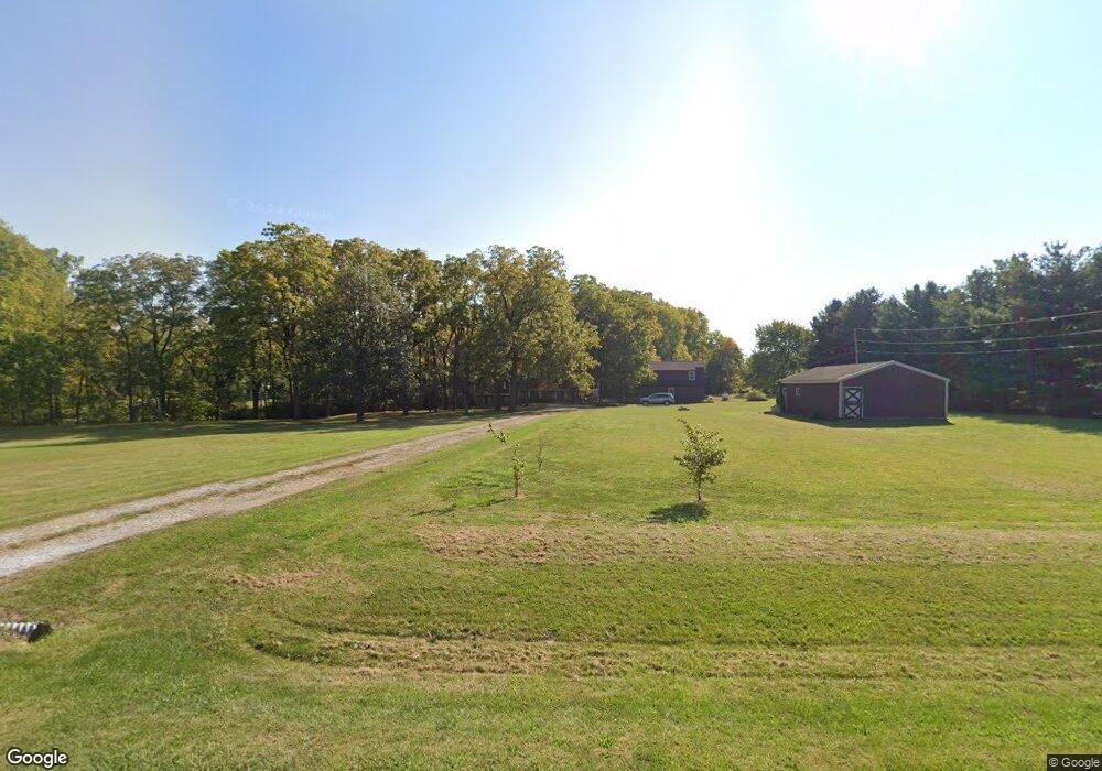
71 Point Ln Arcadia, IN 46030
Estimated Value: $509,000 - $935,000
3
Beds
2
Baths
2,472
Sq Ft
$270/Sq Ft
Est. Value
About This Home
This home is located at 71 Point Ln, Arcadia, IN 46030 and is currently estimated at $667,477, approximately $270 per square foot. 71 Point Ln is a home located in Hamilton County with nearby schools including Cicero Sda Elementary and Indiana Academy.
Ownership History
Date
Name
Owned For
Owner Type
Purchase Details
Closed on
Dec 3, 2024
Sold by
Hanley Carole L
Bought by
Parker Kayla and Parker Robert
Current Estimated Value
Home Financials for this Owner
Home Financials are based on the most recent Mortgage that was taken out on this home.
Original Mortgage
$180,800
Outstanding Balance
$178,389
Interest Rate
6.79%
Mortgage Type
New Conventional
Estimated Equity
$489,088
Create a Home Valuation Report for This Property
The Home Valuation Report is an in-depth analysis detailing your home's value as well as a comparison with similar homes in the area
Purchase History
We collect this data history from publicly available records. To have your information removed, we recommend requesting removal directly through your county’s website.
| Date | Buyer | Sale Price | Title Company |
|---|---|---|---|
| Parker Kayla | -- | Near North Title Group |
Source: Public Records
Mortgage History
We collect this data history from publicly available records. To have your information removed, we recommend requesting removal directly through your county’s website.
| Date | Status | Borrower | Loan Amount |
|---|---|---|---|
| Open | Parker Kayla | $180,800 |
Source: Public Records
Tax History
| Year | Tax Paid | Tax Assessment Tax Assessment Total Assessment is a certain percentage of the fair market value that is determined by local assessors to be the total taxable value of land and additions on the property. | Land | Improvement |
|---|---|---|---|---|
| 2025 | $3,969 | $417,800 | $164,400 | $253,400 |
| 2024 | $3,985 | $399,300 | $164,400 | $234,900 |
| 2023 | $3,985 | $391,000 | $164,400 | $226,600 |
| 2022 | $4,156 | $375,400 | $165,700 | $209,700 |
| 2021 | $4,012 | $356,500 | $165,700 | $190,800 |
| 2020 | $3,826 | $347,200 | $165,700 | $181,500 |
| 2019 | $2,798 | $286,200 | $82,900 | $203,300 |
| 2018 | $2,890 | $287,600 | $82,900 | $204,700 |
| 2017 | $2,700 | $272,900 | $82,900 | $190,000 |
| 2016 | $2,657 | $268,700 | $82,900 | $185,800 |
| 2014 | $2,683 | $263,700 | $76,500 | $187,200 |
| 2013 | $2,683 | $260,800 | $76,500 | $184,300 |
Source: Public Records
Map
Nearby Homes
- 180 Bayshore Dr
- 129 Bayshore Dr
- 800 N Peru St
- 1035 Coral Springs Dr
- 440 Iron Bridge Rd
- 17 Point Ln
- 37 Bluewater Dr
- 31 Bluewater Dr
- 30 Blue Water Dr
- 117 Cottonwood Dr
- 115 Morse Landing Dr
- 130 E Buckeye St
- 27 Karner Blue Ct
- 47 Karner Blue Ct
- 25 Karner Blue Ct
- 23 Karner Blue Ct
- 26 Verdant Dr
- 210 S Harrison St
- 4000 W Morse Dr
- 544 Wise Way
- 61 Point Ln
- 81 Point Ln
- 65 Point Ln
- 51 Point Ln
- 91 Point Ln
- 55 Point Ln
- 24900 Point Ln
- 24582 & 24592 Point Ln
- 24582/24592 Point Ln
- 35 Point Ln
- 1 Point Ln
- 34 Point Ln
- 0 Point Ln Unit 21123890
- 0 Point Ln Unit 21413688
- 0 Point Ln Unit 21413697
- 36 Point Ln
- 24582 Point Ln
- 33 Point Ln
- 2 Point Ln
- 24592 Point Ln
Your Personal Tour Guide
Ask me questions while you tour the home.