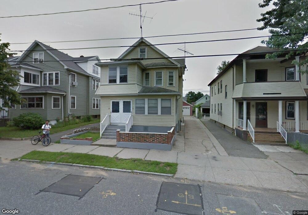
71 Silver St Unit 73 Springfield, MA 01107
Liberty Heights NeighborhoodEstimated Value: $321,217 - $383,000
6
Beds
2
Baths
2,356
Sq Ft
$149/Sq Ft
Est. Value
About This Home
This home is located at 71 Silver St Unit 73, Springfield, MA 01107 and is currently estimated at $351,304, approximately $149 per square foot. 71 Silver St Unit 73 is a home located in Hampden County with nearby schools including Glenwood School, Van Sickle Academy, and High School Of Commerce.
Ownership History
Date
Name
Owned For
Owner Type
Purchase Details
Closed on
Jul 2, 2009
Sold by
Perpetua Emilia M
Bought by
Kinlaw Barbara A
Current Estimated Value
Home Financials for this Owner
Home Financials are based on the most recent Mortgage that was taken out on this home.
Original Mortgage
$132,325
Outstanding Balance
$84,367
Interest Rate
4.86%
Mortgage Type
Purchase Money Mortgage
Estimated Equity
$266,937
Create a Home Valuation Report for This Property
The Home Valuation Report is an in-depth analysis detailing your home's value as well as a comparison with similar homes in the area
Home Values in the Area
Average Home Value in this Area
Purchase History
| Date | Buyer | Sale Price | Title Company |
|---|---|---|---|
| Kinlaw Barbara A | $135,000 | -- |
Source: Public Records
Mortgage History
| Date | Status | Borrower | Loan Amount |
|---|---|---|---|
| Open | Kinlaw Barbara A | $132,325 |
Source: Public Records
Tax History
| Year | Tax Paid | Tax Assessment Tax Assessment Total Assessment is a certain percentage of the fair market value that is determined by local assessors to be the total taxable value of land and additions on the property. | Land | Improvement |
|---|---|---|---|---|
| 2025 | $5,040 | $321,400 | $37,200 | $284,200 |
| 2024 | $4,861 | $302,700 | $37,200 | $265,500 |
| 2023 | $4,659 | $270,700 | $32,900 | $237,800 |
| 2022 | $3,726 | $198,000 | $30,800 | $167,200 |
| 2021 | $3,566 | $188,700 | $28,000 | $160,700 |
| 2020 | $3,543 | $181,400 | $28,000 | $153,400 |
| 2019 | $3,466 | $176,100 | $30,500 | $145,600 |
| 2018 | $3,538 | $179,800 | $30,500 | $149,300 |
| 2017 | $3,199 | $162,700 | $27,600 | $135,100 |
| 2016 | $3,120 | $158,700 | $26,100 | $132,600 |
| 2015 | $2,779 | $141,300 | $26,100 | $115,200 |
Source: Public Records
Map
Nearby Homes
- Lot 1 Marion St
- 248 Hampden St
- 2 Marion St
- 118 Wait St
- 121 Wait St
- 211-213 Chapin Terrace
- 1078 Liberty St
- 708-710 Carew St
- 24 Melha Ave
- 744-746 Carew St
- 491-493 Newbury St
- 571-573 Carew St
- 774-776 Liberty St
- 57 Narragansett St
- 21 Merwin St
- 69 Beston St
- 61 Abbey Memorial Dr Unit 153
- 78 Prospect St
- 27 Parallel St
- 13 Beston St
- 67 Silver St Unit 69
- 75 Silver St Unit 77
- 77 Silver St Unit 2
- 75 Silver St Unit 1
- 77 Silver St
- 63 Silver St Unit 65
- 79-81 Silver St
- 79 Silver St Unit 81
- 70 Gold St Unit 72
- 74 Gold St Unit 76
- 66 Gold St Unit 68
- 66-68 Gold St
- 83 Silver St Unit 85
- 83 Silver St Unit 83 silver st springfield ma 01107
- 83-85 Silver St
- 92 Hamburg St Unit 94
- 57 Silver St
- 92-94 Hamburg St
- 62 Gold St Unit 64
- 74 Silver St Unit 2
Your Personal Tour Guide
Ask me questions while you tour the home.