Estimated Value: $7,728,000 - $14,223,239
3
Beds
7
Baths
3,571
Sq Ft
$2,871/Sq Ft
Est. Value
About This Home
This home is located at 71 Smuggler Grove, Aspen, CO 81611 and is currently estimated at $10,251,080, approximately $2,870 per square foot. 71 Smuggler Grove is a home located in Pitkin County with nearby schools including Aspen Elementary School, Aspen Middle School, and Aspen High School.
Ownership History
Date
Name
Owned For
Owner Type
Purchase Details
Closed on
Oct 10, 2012
Sold by
Seguin Michael A and Seguin Kimberly
Bought by
Rocky Mtn Property Llc
Current Estimated Value
Purchase Details
Closed on
Sep 24, 2007
Sold by
Seguin Mike A
Bought by
Seguin Michael A and Seguin Kimberly
Create a Home Valuation Report for This Property
The Home Valuation Report is an in-depth analysis detailing your home's value as well as a comparison with similar homes in the area
Home Values in the Area
Average Home Value in this Area
Purchase History
| Date | Buyer | Sale Price | Title Company |
|---|---|---|---|
| Rocky Mtn Property Llc | $3,999,999 | None Available | |
| Seguin Michael A | -- | None Available |
Source: Public Records
Tax History Compared to Growth
Tax History
| Year | Tax Paid | Tax Assessment Tax Assessment Total Assessment is a certain percentage of the fair market value that is determined by local assessors to be the total taxable value of land and additions on the property. | Land | Improvement |
|---|---|---|---|---|
| 2024 | $31,247 | $942,510 | $266,950 | $675,560 |
| 2023 | $31,247 | $954,370 | $270,320 | $684,050 |
| 2022 | $20,669 | $558,240 | $194,600 | $363,640 |
| 2021 | $20,581 | $574,300 | $200,200 | $374,100 |
| 2020 | $18,096 | $501,240 | $193,050 | $308,190 |
| 2019 | $18,096 | $501,240 | $193,050 | $308,190 |
| 2018 | $14,856 | $504,750 | $194,400 | $310,350 |
| 2017 | $13,116 | $407,390 | $180,000 | $227,390 |
| 2016 | $12,033 | $366,150 | $206,960 | $159,190 |
| 2015 | $11,879 | $366,150 | $206,960 | $159,190 |
| 2014 | $10,801 | $318,130 | $204,170 | $113,960 |
Source: Public Records
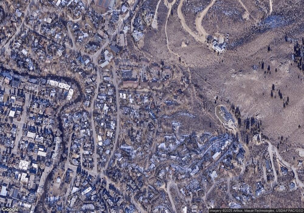
Map
Nearby Homes
- 71 & 73 Smuggler Grove Rd
- 326 Midland Ave Unit 306
- 326 Midland Ave Unit 302
- 1212 E Hopkins Ave
- 311 Midland Ave
- 322 Park Ave Unit 2
- 201 Midland Ave
- 108 Midland Ave
- 100 Park Ave
- 415 Park Cir Unit 5
- 1024 E Hopkins Ave Unit 16
- 1034 E Cooper Ave Unit 19A
- 515 Park Cir
- 979 Queen St
- City Tdr
- 1039 E Cooper Ave Unit 16A
- 1006 E Cooper Ave
- 935 E Hopkins Ave
- 140 Maple Ln Unit 140
- 939 E Cooper Ave Unit B
- 73 Smuggler Grove
- 71 & 73 Smuggler Grove
- 73 Smuggler Grv Rd
- 63 Smuggler Grv Rd
- 55 Smuggler Grove
- 63 Smuggler Grove
- 63 Smuggler Grove Unit Grove
- 55 Smuggler Grv Rd
- 55 Smuggler Grove Rd
- 43 Smuggler Grove Rd Unit A
- 43 Smuggler Grove Rd
- 43 Smuggler Grove Unit B
- 43 Smuggler Grove
- 43 Smuggler Grv Rd Unit B
- 43 Smuggler Grv Rd Unit A
- 24 Ardmore Ct
- 24 Ardmore Ct
- 207 Kathryns Way Unit B3
- 206 Kathryns Way Unit B2
- 308 Kathryns Way Unit C1