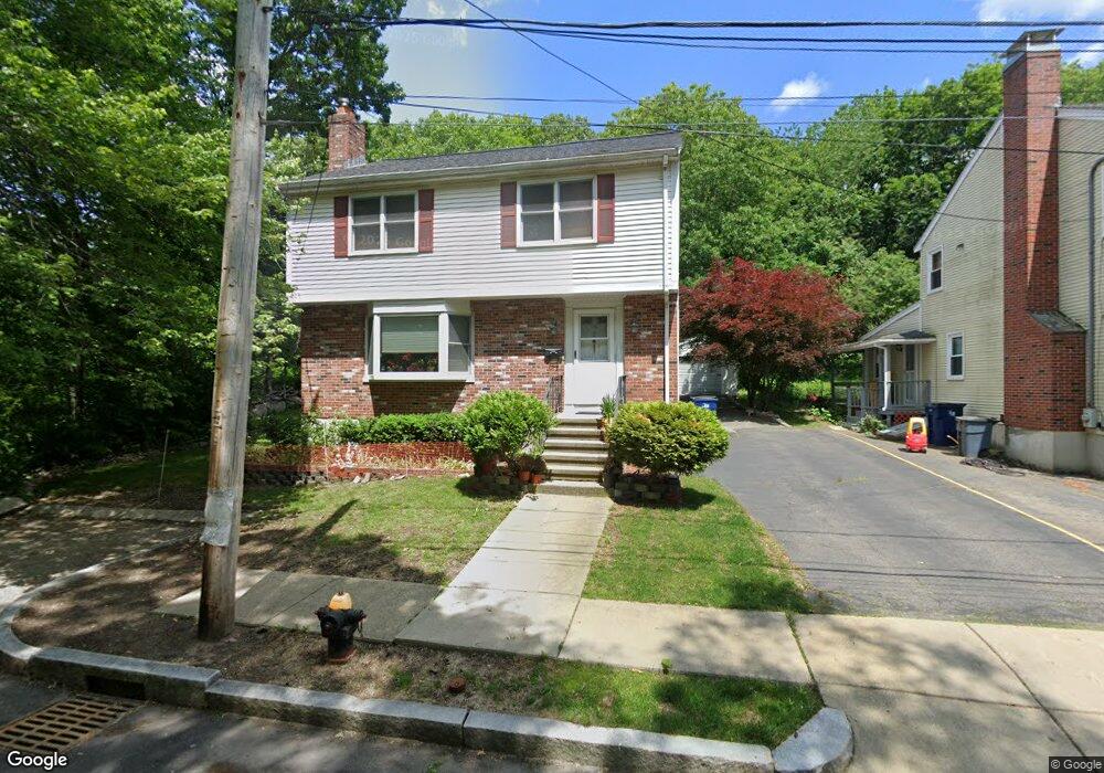
71 Stearns Rd West Roxbury, MA 02132
Upper Washington-Spring Street NeighborhoodEstimated Value: $831,017 - $924,000
3
Beds
3
Baths
1,736
Sq Ft
$499/Sq Ft
Est. Value
About This Home
This home is located at 71 Stearns Rd, West Roxbury, MA 02132 and is currently estimated at $865,504, approximately $498 per square foot. 71 Stearns Rd is a home located in Suffolk County with nearby schools including St Theresa School and The Roxbury Latin School.
Ownership History
Date
Name
Owned For
Owner Type
Purchase Details
Closed on
May 27, 2011
Sold by
2008 Barron Family Irt
Bought by
Lagumbay Imelda A
Current Estimated Value
Purchase Details
Closed on
Jan 2, 2009
Sold by
Barron Francis R
Bought by
Barron Ft
Purchase Details
Closed on
Nov 3, 2008
Sold by
Barron Francis R and Barron Joan K
Bought by
Barron Francis R
Create a Home Valuation Report for This Property
The Home Valuation Report is an in-depth analysis detailing your home's value as well as a comparison with similar homes in the area
Home Values in the Area
Average Home Value in this Area
Purchase History
| Date | Buyer | Sale Price | Title Company |
|---|---|---|---|
| Lagumbay Imelda A | $388,000 | -- | |
| Barron Ft | -- | -- | |
| Barron Francis R | -- | -- |
Source: Public Records
Tax History Compared to Growth
Tax History
| Year | Tax Paid | Tax Assessment Tax Assessment Total Assessment is a certain percentage of the fair market value that is determined by local assessors to be the total taxable value of land and additions on the property. | Land | Improvement |
|---|---|---|---|---|
| 2025 | $8,373 | $723,100 | $246,700 | $476,400 |
| 2024 | $7,517 | $689,600 | $253,100 | $436,500 |
| 2023 | $7,055 | $656,900 | $241,100 | $415,800 |
| 2022 | $6,617 | $608,200 | $223,200 | $385,000 |
| 2021 | $6,005 | $562,800 | $210,600 | $352,200 |
| 2020 | $5,645 | $534,600 | $202,500 | $332,100 |
| 2019 | $5,048 | $478,900 | $148,100 | $330,800 |
| 2018 | $4,778 | $455,900 | $148,100 | $307,800 |
| 2017 | $4,732 | $446,800 | $148,100 | $298,700 |
| 2016 | $4,772 | $433,800 | $148,100 | $285,700 |
| 2015 | $4,814 | $397,500 | $138,000 | $259,500 |
| 2014 | $4,670 | $371,200 | $138,000 | $233,200 |
Source: Public Records
Map
Nearby Homes
- 45 Weymouth Ave
- 10 Starling St
- 4975 Washington St Unit 311
- 4975 Washington St Unit 305
- 15 Starling St
- 4959 Washington St
- 50 Heron St
- 12 Eagle St
- 14 Heron St Unit 207
- 115 Grove St Unit 11
- 150 Grove St
- 35 Heron St
- 55 Cottage Rd
- 216 Grove St
- 231-245 Grove St
- 4873 Washington St Unit 2
- 132 Woodley Ave
- 87 Searle Rd
- 2290 Centre St
- 7 Starling St
- 67 Stearns Rd
- 63 Stearns Rd
- 55 Stearns Rd
- 51 Stearns Rd
- 47 Stearns Rd
- 43 Stearns Rd
- 40 Weymouth Ave
- 34 Stearns Rd
- 50 High View Ave
- 52 High View Ave
- 39 Stearns Rd
- 37 Weymouth Ave
- 36 Weymouth Ave
- 30 Stearns Rd
- 35 Stearns Rd
- 35 Pinecliff Rd
- 30 Weymouth Ave
- 32 Weymouth Ave
- 34 High View Ave
- 29 Weymouth Ave Unit 31