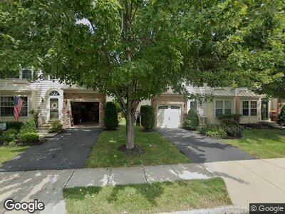
71 Weber Ave Hillsborough, NJ 08844
Estimated Value: $516,475 - $560,000
--
Bed
--
Bath
1,888
Sq Ft
$285/Sq Ft
Est. Value
About This Home
This home is located at 71 Weber Ave, Hillsborough, NJ 08844 and is currently estimated at $538,869, approximately $285 per square foot. 71 Weber Ave is a home located in Somerset County with nearby schools including Hillsborough High School.
Ownership History
Date
Name
Owned For
Owner Type
Purchase Details
Closed on
Sep 10, 2007
Sold by
Nvr Inc
Bought by
Grigas Nicholas W and Grigas Pamela
Current Estimated Value
Home Financials for this Owner
Home Financials are based on the most recent Mortgage that was taken out on this home.
Original Mortgage
$185,650
Interest Rate
6.49%
Mortgage Type
Commercial
Purchase Details
Closed on
May 7, 2007
Sold by
Atlantic Equity Westmeade Llc
Bought by
Nvr Inc
Create a Home Valuation Report for This Property
The Home Valuation Report is an in-depth analysis detailing your home's value as well as a comparison with similar homes in the area
Home Values in the Area
Average Home Value in this Area
Purchase History
| Date | Buyer | Sale Price | Title Company |
|---|---|---|---|
| Grigas Nicholas W | $373,670 | Multiple | |
| Nvr Inc | $140,000 | Title America Agency Corp |
Source: Public Records
Mortgage History
| Date | Status | Borrower | Loan Amount |
|---|---|---|---|
| Open | Grigas Nicholas W | $188,600 | |
| Closed | Grigas Nicholas W | $185,650 |
Source: Public Records
Tax History Compared to Growth
Tax History
| Year | Tax Paid | Tax Assessment Tax Assessment Total Assessment is a certain percentage of the fair market value that is determined by local assessors to be the total taxable value of land and additions on the property. | Land | Improvement |
|---|---|---|---|---|
| 2024 | $9,457 | $441,300 | $195,000 | $246,300 |
| 2023 | $8,500 | $394,800 | $145,000 | $249,800 |
| 2022 | $8,510 | $381,100 | $130,000 | $251,100 |
| 2021 | $8,634 | $367,700 | $115,000 | $252,700 |
| 2020 | $8,799 | $369,100 | $115,000 | $254,100 |
| 2019 | $8,803 | $366,200 | $110,000 | $256,200 |
| 2018 | $8,769 | $362,500 | $100,000 | $262,500 |
| 2017 | $8,680 | $359,400 | $95,000 | $264,400 |
| 2016 | $8,389 | $347,500 | $95,000 | $252,500 |
| 2015 | $7,905 | $331,600 | $95,000 | $236,600 |
| 2014 | $7,707 | $330,200 | $99,000 | $231,200 |
Source: Public Records
Map
Nearby Homes
- 20 Norton Rd
- 120 Persinko St
- 13 Norton Rd
- 295 Sunnymeade Rd
- 205 Jasinski Ave
- 925 S Main St
- 5 Nottingham Way
- 149 S 14th Ave
- 2 Sherwood Close
- 1112 W Camplain Rd
- 16 N 16th Ave
- 110 Fucillo St
- 137 S 12th Ave
- 900 W Camplain Rd
- 16 Claremont Dr
- 6 Plumstead Way
- 162 S 6th Ave
- 166 So 6th Ave Cb204 Unit 166
- 20 S 8th Ave
- 693 Weston Canal Rd