71 Winslow Cir New London, NH 03257
Estimated Value: $655,243 - $831,000
4
Beds
4
Baths
3,400
Sq Ft
$215/Sq Ft
Est. Value
About This Home
This home is located at 71 Winslow Cir, New London, NH 03257 and is currently estimated at $731,061, approximately $215 per square foot. 71 Winslow Cir is a home located in Merrimack County with nearby schools including Sutton Central Elementary School, Kearsarge Regional Middle School, and Kearsarge Regional High School.
Ownership History
Date
Name
Owned For
Owner Type
Purchase Details
Closed on
Mar 4, 2020
Sold by
Donovan Christine L and Donovan Jerome
Bought by
Donovan Ft
Current Estimated Value
Purchase Details
Closed on
Oct 17, 2011
Sold by
Cld Asset Management L
Bought by
Donovan Jerome R and Donovan Christine L
Home Financials for this Owner
Home Financials are based on the most recent Mortgage that was taken out on this home.
Original Mortgage
$220,000
Interest Rate
4.25%
Mortgage Type
Purchase Money Mortgage
Purchase Details
Closed on
Apr 23, 2010
Sold by
Citibank Na Tr
Bought by
Cld Asset Management L
Home Financials for this Owner
Home Financials are based on the most recent Mortgage that was taken out on this home.
Original Mortgage
$222,200
Interest Rate
5%
Mortgage Type
Purchase Money Mortgage
Purchase Details
Closed on
Dec 30, 2008
Sold by
Buker 3Rd Harold W
Bought by
Citibank Na
Create a Home Valuation Report for This Property
The Home Valuation Report is an in-depth analysis detailing your home's value as well as a comparison with similar homes in the area
Home Values in the Area
Average Home Value in this Area
Purchase History
| Date | Buyer | Sale Price | Title Company |
|---|---|---|---|
| Donovan Ft | -- | None Available | |
| Donovan Jerome R | $275,000 | -- | |
| Cld Asset Management L | $166,700 | -- | |
| Citibank Na | $445,500 | -- |
Source: Public Records
Mortgage History
| Date | Status | Borrower | Loan Amount |
|---|---|---|---|
| Open | Donovan Ft | $172,000 | |
| Previous Owner | Buker 3Rd Harold W | $220,000 | |
| Previous Owner | Buker 3Rd Harold W | $222,200 | |
| Previous Owner | Buker 3Rd Harold W | $584,000 | |
| Previous Owner | Buker Harold W | $265,000 |
Source: Public Records
Tax History Compared to Growth
Tax History
| Year | Tax Paid | Tax Assessment Tax Assessment Total Assessment is a certain percentage of the fair market value that is determined by local assessors to be the total taxable value of land and additions on the property. | Land | Improvement |
|---|---|---|---|---|
| 2024 | $9,379 | $348,140 | $95,800 | $252,340 |
| 2023 | $8,832 | $348,140 | $95,800 | $252,340 |
| 2022 | $8,411 | $348,140 | $95,800 | $252,340 |
| 2021 | $8,411 | $348,140 | $95,800 | $252,340 |
| 2020 | $8,658 | $348,140 | $95,800 | $252,340 |
| 2019 | $8,976 | $298,300 | $67,200 | $231,100 |
| 2016 | $8,048 | $298,300 | $67,200 | $231,100 |
| 2015 | $8,048 | $298,300 | $67,200 | $231,100 |
| 2014 | $8,223 | $339,930 | $90,980 | $248,950 |
| 2012 | $6,972 | $323,230 | $90,980 | $232,250 |
Source: Public Records
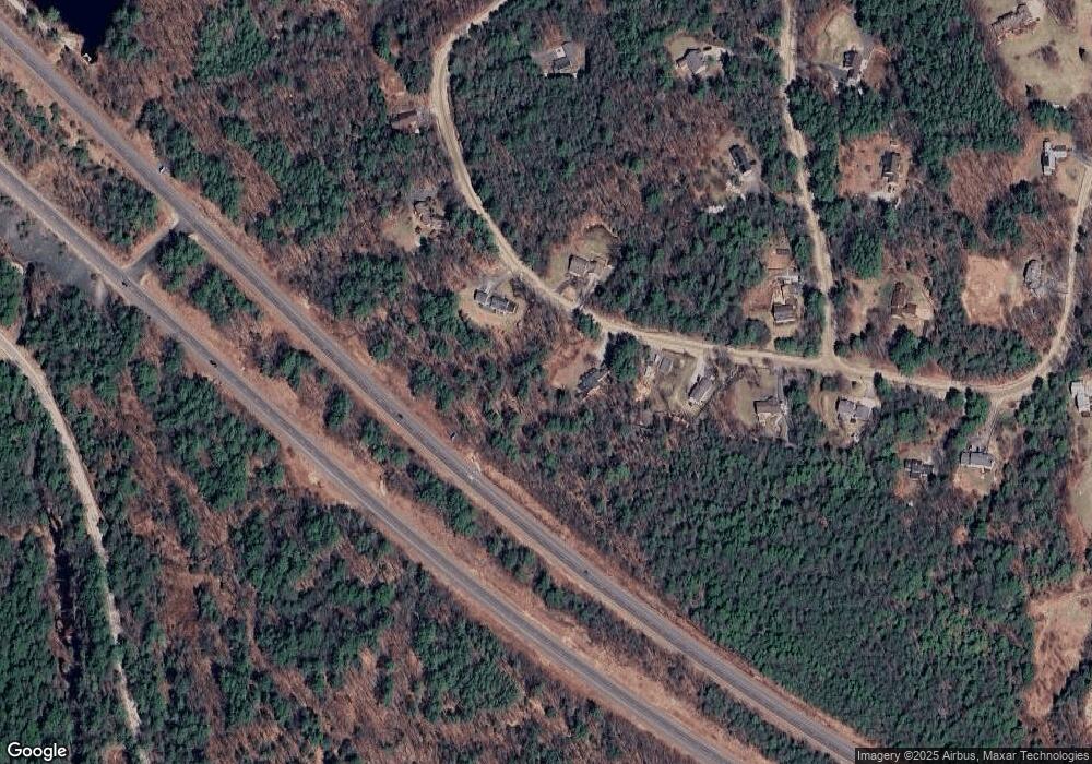
Map
Nearby Homes
- 00 Mountainside Dr
- 185 Meadow Brook Rd
- 93 Rowell Hill Rd
- 16 Hominy Pot Rd
- 164 Keyser St
- 282 Brookside Dr
- 0 Summit Rd Unit Lot 23 5020457
- 0 Fairway Ln Unit 5043163
- 0 Hominy Pot Rd Unit 5036928
- 906 Main St
- 555 Shaker Rd
- 44 Buker Way
- 18 Stonehouse Rd
- 88 Stonehouse Rd
- 0 Shaker Rd
- 000 Shaker Rd
- 499 Andover Rd
- 173 Squires Ln
- Lot 6 Sargent Rd
- 157 Seamans Rd
- 83 Winslow Cir
- 61 Winslow Cir
- 78 Winslow Cir
- 180 Harvey Rd
- 93 Winslow Cir
- 51 Winslow Circle Rd
- 51 Winslow Cir
- 51 Winslow Cir
- 101 Winslow Cir
- 88 Winslow Rd
- 80 Winslow Rd
- 18 Winslow Rd
- 104 Winslow Cir
- 41 Winslow Cir
- 70 Winslow Rd
- 70 Winslow Rd Unit S-23
- 0 Winslow Rd
- 0 Winslow Cir
- 40 Winslow Cir
- 33 Winslow Cir