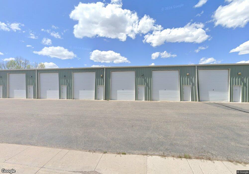
710 E 1st St Unit 7 Cheyenne, WY 82007
South Cheyenne NeighborhoodEstimated Value: $149,062
Studio
--
Bath
864
Sq Ft
$173/Sq Ft
Est. Value
About This Home
This home is located at 710 E 1st St Unit 7, Cheyenne, WY 82007 and is currently estimated at $149,062, approximately $172 per square foot. 710 E 1st St Unit 7 is a home located in Laramie County with nearby schools including Hebard Elementary School, Johnson Junior High School, and South High School.
Ownership History
Date
Name
Owned For
Owner Type
Purchase Details
Closed on
Oct 13, 2021
Sold by
Leighton Storage Llc
Bought by
S Cape Llc
Current Estimated Value
Purchase Details
Closed on
May 4, 2020
Sold by
Leighton Benny L and Leighton Kristin
Bought by
Leighton Storage Llc
Purchase Details
Closed on
Jun 9, 2009
Sold by
Kuhn Vicki S
Bought by
Leighton Benny L and Leighton Kristin
Purchase Details
Closed on
Mar 21, 2007
Sold by
Kuhn Pete M
Bought by
Kuhn Vicki S and Vicki S Kuhn Trust
Create a Home Valuation Report for This Property
The Home Valuation Report is an in-depth analysis detailing your home's value as well as a comparison with similar homes in the area
Home Values in the Area
Average Home Value in this Area
Purchase History
| Date | Buyer | Sale Price | Title Company |
|---|---|---|---|
| S Cape Llc | -- | First American | |
| Leighton Storage Llc | -- | None Available | |
| Leighton Benny L | -- | None Available | |
| Kuhn Vicki S | -- | None Available |
Source: Public Records
Tax History
| Year | Tax Paid | Tax Assessment Tax Assessment Total Assessment is a certain percentage of the fair market value that is determined by local assessors to be the total taxable value of land and additions on the property. | Land | Improvement |
|---|---|---|---|---|
| 2025 | $350 | $4,772 | $811 | $3,961 |
| 2024 | $350 | $4,950 | $811 | $4,139 |
| 2023 | $359 | $5,070 | $755 | $4,315 |
| 2022 | $339 | $4,698 | $727 | $3,971 |
| 2021 | $321 | $4,442 | $727 | $3,715 |
| 2020 | $281 | $3,897 | $727 | $3,170 |
| 2019 | $282 | $3,903 | $727 | $3,176 |
| 2018 | $268 | $3,744 | $622 | $3,122 |
| 2017 | $279 | $3,871 | $622 | $3,249 |
| 2016 | $290 | $4,011 | $622 | $3,389 |
| 2015 | $293 | $4,058 | $587 | $3,471 |
| 2014 | $293 | $4,033 | $587 | $3,446 |
Source: Public Records
Map
Nearby Homes
- 807 E 3rd St
- 614 Broken Wheel Ct
- 516 E 4th St
- 306 Evans Ave
- 415 Wasatch St
- 615 E 6th St
- 213 S House Ave
- 207 Medicine Bow Ave
- 802 Owl Creek Ave
- 1212 E 7th St
- 600 Central Ave
- Tr 5 E Fox Farm Rd
- TBD Jefferson Rd
- 509 E Jefferson Rd Unit 11
- TBD Pack Saddle Rd
- TBD Deming Dr
- 511 W 6th St
- 517 W 6th St
- 701 Mitchell Ct
- TBD Avenue C
- 113 Seymour Ave Unit 34
- 113 Seymour Ave Unit 36
- 113 Seymour Ave Unit 28
- 113 Seymour Ave Unit 32
- 113 Seymour Ave Unit 30
- 113 Seymour Ave Unit 24
- 113 Seymour Ave Unit 25
- 113 Seymour Ave Unit 33
- 113 Seymour Ave Unit 22
- 609 E 2nd St
- 109 Pebrican Ave
- 702 E 2nd St
- 117 Maxwell Ave
- 712 E 2nd St
- 210 Seymour Ave
- 607 E 2nd St
- 722 E 2nd St
- 810 E 1st St
- 612 E 2nd St
- 602 E 2nd St
Your Personal Tour Guide
Ask me questions while you tour the home.