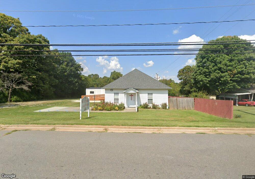
710 E 20th St Newton, NC 28658
Estimated Value: $128,000 - $226,000
3
Beds
1
Bath
1,521
Sq Ft
$123/Sq Ft
Est. Value
About This Home
This home is located at 710 E 20th St, Newton, NC 28658 and is currently estimated at $186,413, approximately $122 per square foot. 710 E 20th St is a home located in Catawba County with nearby schools including North Newton Elementary School, Newton-Conover Middle School, and Newton-Conover High School.
Ownership History
Date
Name
Owned For
Owner Type
Purchase Details
Closed on
Oct 17, 2011
Sold by
Meeseree Sanong Mark and Meeseree Banyen
Bought by
Lahu Baptist Church
Current Estimated Value
Purchase Details
Closed on
Jul 20, 2010
Sold by
Secretary Of Housing & Urban Development
Bought by
Meeseree Sanong Mark
Purchase Details
Closed on
Aug 28, 2009
Sold by
See Kae and See Sang
Bought by
The Secretary Of Housing & Urban Develop
Purchase Details
Closed on
Aug 7, 2001
Bought by
Smith Margaret Agnes
Purchase Details
Closed on
Jul 1, 1991
Create a Home Valuation Report for This Property
The Home Valuation Report is an in-depth analysis detailing your home's value as well as a comparison with similar homes in the area
Home Values in the Area
Average Home Value in this Area
Purchase History
| Date | Buyer | Sale Price | Title Company |
|---|---|---|---|
| Lahu Baptist Church | -- | None Available | |
| Meeseree Sanong Mark | -- | None Available | |
| The Secretary Of Housing & Urban Develop | $71,812 | None Available | |
| Smith Margaret Agnes | $66,000 | -- | |
| -- | $50,500 | -- |
Source: Public Records
Tax History
| Year | Tax Paid | Tax Assessment Tax Assessment Total Assessment is a certain percentage of the fair market value that is determined by local assessors to be the total taxable value of land and additions on the property. | Land | Improvement |
|---|---|---|---|---|
| 2025 | -- | $112,300 | $14,000 | $98,300 |
| 2024 | -- | $112,300 | $14,000 | $98,300 |
| 2023 | $0 | $112,300 | $14,000 | $98,300 |
| 2022 | $0 | $93,600 | $14,000 | $79,600 |
| 2021 | $663 | $93,600 | $14,000 | $79,600 |
| 2020 | $663 | $75,400 | $14,000 | $61,400 |
| 2019 | $663 | $78,400 | $0 | $0 |
| 2018 | -- | $78,400 | $14,200 | $64,200 |
| 2017 | -- | $0 | $0 | $0 |
| 2016 | $663 | $0 | $0 | $0 |
| 2015 | $663 | $78,400 | $14,200 | $64,200 |
| 2014 | $663 | $65,600 | $13,300 | $52,300 |
Source: Public Records
Map
Nearby Homes
- 2081 N Whisnant Ave
- 1818 N Rankin Ave
- 1820 N Hewitt Ave
- 1128 McRee Heights Cir
- 0000 Burris Rd
- 736 E 11th St
- 1212 3rd Street Dr SE
- 1208 N Davis Ave
- 210 W 15th St
- 1107 N Davis Ave
- 227 W 27th St
- 827 E 9th St
- 1662 Golden Cedar Ln
- 1687 Golden Cedar Ln
- 1512 N Deal Ave
- 1636 Mayfair Dr
- 902 N Ashe Ave
- 503 W 12th St
- 1656 Piper Creek Ave
- 918 Emmanuel Church Rd
Your Personal Tour Guide
Ask me questions while you tour the home.