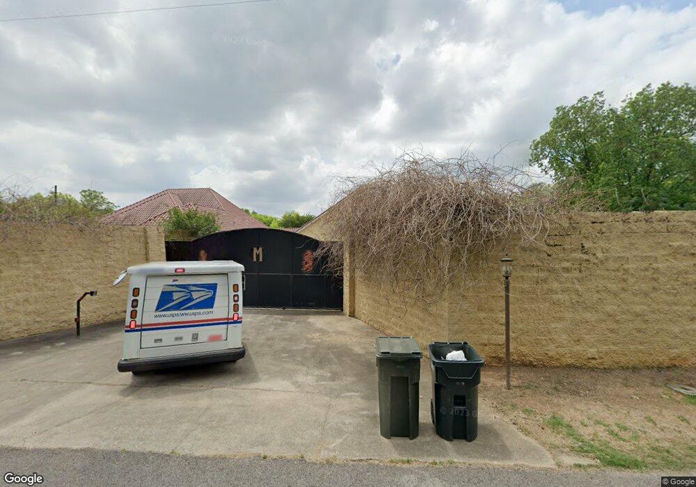
710 Flint Hill Rd Bessemer, AL 35022
Estimated Value: $388,000 - $527,000
4
Beds
5
Baths
5,099
Sq Ft
$95/Sq Ft
Est. Value
About This Home
This home is located at 710 Flint Hill Rd, Bessemer, AL 35022 and is currently estimated at $482,492, approximately $94 per square foot. 710 Flint Hill Rd is a home located in Jefferson County with nearby schools including Mcadory Elementary School, Mcadory Middle School, and Mcadory High School.
Ownership History
Date
Name
Owned For
Owner Type
Purchase Details
Closed on
Mar 22, 2011
Sold by
Moore Jason S
Bought by
Williams Reynolds Wyteria
Current Estimated Value
Purchase Details
Closed on
Feb 8, 2006
Sold by
Deutsche Bank National Trust Co
Bought by
Johnson Wyteria L
Home Financials for this Owner
Home Financials are based on the most recent Mortgage that was taken out on this home.
Original Mortgage
$296,560
Interest Rate
7.65%
Mortgage Type
Purchase Money Mortgage
Purchase Details
Closed on
Jul 29, 1999
Sold by
Shelton James A and Shelton Edith Olivia
Bought by
Moore Jason S
Home Financials for this Owner
Home Financials are based on the most recent Mortgage that was taken out on this home.
Original Mortgage
$20,000
Interest Rate
7.66%
Create a Home Valuation Report for This Property
The Home Valuation Report is an in-depth analysis detailing your home's value as well as a comparison with similar homes in the area
Home Values in the Area
Average Home Value in this Area
Purchase History
| Date | Buyer | Sale Price | Title Company |
|---|---|---|---|
| Williams Reynolds Wyteria | $1,500 | None Available | |
| Johnson Wyteria L | $370,700 | None Available | |
| Moore Jason S | $20,000 | Jefferson Title Corporation |
Source: Public Records
Mortgage History
| Date | Status | Borrower | Loan Amount |
|---|---|---|---|
| Previous Owner | Johnson Wyteria L | $296,560 | |
| Previous Owner | Moore Jason S | $20,000 |
Source: Public Records
Tax History Compared to Growth
Tax History
| Year | Tax Paid | Tax Assessment Tax Assessment Total Assessment is a certain percentage of the fair market value that is determined by local assessors to be the total taxable value of land and additions on the property. | Land | Improvement |
|---|---|---|---|---|
| 2024 | -- | $46,640 | -- | -- |
| 2022 | $0 | $50,430 | $2,670 | $47,760 |
| 2021 | $485 | $32,340 | $2,670 | $29,670 |
| 2020 | $478 | $31,850 | $2,670 | $29,180 |
| 2019 | $478 | $31,860 | $0 | $0 |
| 2018 | $508 | $33,840 | $0 | $0 |
| 2017 | $3,390 | $67,660 | $0 | $0 |
| 2016 | -- | $33,840 | $0 | $0 |
| 2015 | -- | $33,840 | $0 | $0 |
| 2014 | $1,666 | $33,260 | $0 | $0 |
| 2013 | $1,666 | $33,260 | $0 | $0 |
Source: Public Records
Map
Nearby Homes
- 5528 Headwinds Ln
- 5396 Tailwinds Dr
- 5520 Headwinds Ln
- 5408 Tailwinds Dr
- 5404 Tailwinds Dr
- The Langford Plan at Crosswinds at Cedar Creek
- The Ryman Plan at Crosswinds at Cedar Creek
- The Coleman Plan at Crosswinds at Cedar Creek
- The Telfair Plan at Crosswinds at Cedar Creek
- The Caldwell Plan at Crosswinds at Cedar Creek
- The Braselton II Plan at Crosswinds at Cedar Creek
- The Bradley Plan at Crosswinds at Cedar Creek
- The Harrington Plan at Crosswinds at Cedar Creek
- 5493 Headwinds Ln
- 1022 Flint Hill Rd Unit 24A
- 5492 Headwinds Ln
- 5476 Headwind Ln
- 5484 Headwind Ln
- 5489 Headwind Ln
- 5501 Headwind Ln
- 708 Flint Hill Rd
- 714 Flint Hill Rd
- 698 Flint Hill Rd
- 1701 Powder Plant Rd
- 1715 Powder Plant Rd
- 696 Flint Hill Rd
- 1727 Powder Plant Rd
- 1743 Powder Plant Rd
- 0 Burgess Ln Unit 1 488800
- 0 Burgess Ln Unit 52, 53, 54 774321
- 0 Burgess Ln Unit 1 875709
- 703 Flint Hill Rd
- 709 Flint Hill Rd
- 1629 Powder Plant Rd
- 695 Flint Hill Rd
- 694 Flint Hill Rd
- 1763 Powder Plant Rd
- 1714 Powder Plant Rd
- 1716 Powder Plant Rd
- 1761 Powder Plant Rd
