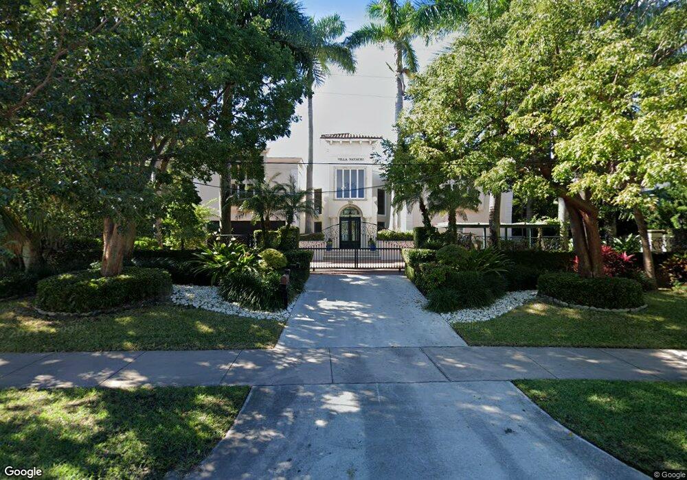
710 Harbor Dr Key Biscayne, FL 33149
Estimated Value: $6,334,000 - $10,393,129
4
Beds
6
Baths
7,134
Sq Ft
$1,172/Sq Ft
Est. Value
About This Home
This home is located at 710 Harbor Dr, Key Biscayne, FL 33149 and is currently estimated at $8,363,565, approximately $1,172 per square foot. 710 Harbor Dr is a home with nearby schools including Key Biscayne K-8 Center, Ponce de Leon Middle School, and Coral Gables Senior High School.
Ownership History
Date
Name
Owned For
Owner Type
Purchase Details
Closed on
Nov 4, 2024
Sold by
Stenstrom Christina
Bought by
Christina Stenstrom Declaration Of Trust and Stenstrom
Current Estimated Value
Purchase Details
Closed on
Oct 29, 1997
Sold by
United States Of America
Bought by
Stenstrom Karl G and Stenstrom Christina
Home Financials for this Owner
Home Financials are based on the most recent Mortgage that was taken out on this home.
Original Mortgage
$1,000,000
Interest Rate
7.39%
Mortgage Type
New Conventional
Create a Home Valuation Report for This Property
The Home Valuation Report is an in-depth analysis detailing your home's value as well as a comparison with similar homes in the area
Home Values in the Area
Average Home Value in this Area
Purchase History
| Date | Buyer | Sale Price | Title Company |
|---|---|---|---|
| Christina Stenstrom Declaration Of Trust | -- | None Listed On Document | |
| Christina Stenstrom Declaration Of Trust | -- | None Listed On Document | |
| Christina Stenstrom Declaration Of Trust | -- | None Listed On Document | |
| Stenstrom Karl G | $2,300,000 | -- |
Source: Public Records
Mortgage History
| Date | Status | Borrower | Loan Amount |
|---|---|---|---|
| Previous Owner | Stenstrom Karl G | $1,000,000 |
Source: Public Records
Tax History
| Year | Tax Paid | Tax Assessment Tax Assessment Total Assessment is a certain percentage of the fair market value that is determined by local assessors to be the total taxable value of land and additions on the property. | Land | Improvement |
|---|---|---|---|---|
| 2025 | $91,646 | $5,936,577 | -- | -- |
| 2024 | $90,421 | $5,769,269 | -- | -- |
| 2023 | $90,421 | $5,601,233 | $0 | $0 |
| 2022 | $86,923 | $5,438,091 | $0 | $0 |
| 2021 | $87,319 | $5,279,700 | $0 | $0 |
| 2020 | $85,345 | $5,206,805 | $0 | $0 |
| 2019 | $83,620 | $5,089,741 | $0 | $0 |
| 2018 | $79,388 | $4,994,840 | $0 | $0 |
| 2017 | $78,416 | $4,892,106 | $0 | $0 |
| 2016 | $78,633 | $4,791,485 | $0 | $0 |
| 2015 | $79,798 | $4,758,178 | $0 | $0 |
| 2014 | $81,015 | $4,720,415 | $0 | $0 |
Source: Public Records
Map
Nearby Homes
- 741 Harbor Dr
- 635 Curtiswood Dr
- 591 N Mashta Dr
- 550 Harbor Dr
- 5 Harbor Point
- 640 S Mashta Dr
- 760 Allendale Rd
- 545 Sabal Palm Dr
- 285 W Enid Dr
- 420 Island Dr
- 861 Harbor Dr
- 691 Ridgewood Rd
- 481 S Mashta Dr
- 797 Ridgewood Rd
- 315 Palmwood Ln
- 425 Harbor Dr
- 355 Redwood Ln
- 960 Mariner Dr
- 164 W Mashta Dr
- 301 Redwood Ln
Your Personal Tour Guide
Ask me questions while you tour the home.