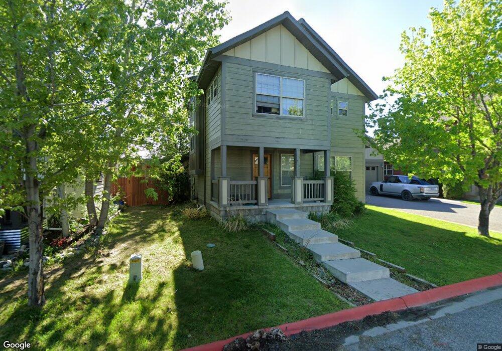
710 Matheson Way Bozeman, MT 59715
North Bozeman NeighborhoodEstimated Value: $610,000 - $810,000
3
Beds
3
Baths
1,886
Sq Ft
$377/Sq Ft
Est. Value
About This Home
This home is located at 710 Matheson Way, Bozeman, MT 59715 and is currently estimated at $710,596, approximately $376 per square foot. 710 Matheson Way is a home located in Gallatin County with nearby schools including Lincoln Titus Elementary School, Whittier School, and Van Cortlandtville School.
Ownership History
Date
Name
Owned For
Owner Type
Purchase Details
Closed on
Sep 11, 2007
Sold by
Newman Gina L
Bought by
Forrest Steven C
Current Estimated Value
Home Financials for this Owner
Home Financials are based on the most recent Mortgage that was taken out on this home.
Original Mortgage
$120,000
Outstanding Balance
$76,364
Interest Rate
6.67%
Mortgage Type
Purchase Money Mortgage
Estimated Equity
$634,232
Purchase Details
Closed on
Apr 28, 2006
Sold by
Karl Cook Construction Inc
Bought by
Newman Gina L
Home Financials for this Owner
Home Financials are based on the most recent Mortgage that was taken out on this home.
Original Mortgage
$100,000
Interest Rate
6.29%
Mortgage Type
Fannie Mae Freddie Mac
Purchase Details
Closed on
Dec 20, 2005
Sold by
Cook Karl
Bought by
Karl Cook Construction Inc
Purchase Details
Closed on
Dec 9, 2005
Sold by
Durston Development Corp
Bought by
Cook Karl
Create a Home Valuation Report for This Property
The Home Valuation Report is an in-depth analysis detailing your home's value as well as a comparison with similar homes in the area
Home Values in the Area
Average Home Value in this Area
Purchase History
| Date | Buyer | Sale Price | Title Company |
|---|---|---|---|
| Forrest Steven C | -- | Security Title Company | |
| Newman Gina L | -- | American Land Title Company | |
| Karl Cook Construction Inc | -- | None Available | |
| Cook Karl | -- | None Available |
Source: Public Records
Mortgage History
| Date | Status | Borrower | Loan Amount |
|---|---|---|---|
| Open | Forrest Steven C | $120,000 | |
| Previous Owner | Newman Gina L | $100,000 |
Source: Public Records
Tax History Compared to Growth
Tax History
| Year | Tax Paid | Tax Assessment Tax Assessment Total Assessment is a certain percentage of the fair market value that is determined by local assessors to be the total taxable value of land and additions on the property. | Land | Improvement |
|---|---|---|---|---|
| 2025 | $2,954 | $653,600 | $0 | $0 |
| 2024 | $4,437 | $666,600 | $0 | $0 |
| 2023 | $4,293 | $666,600 | $0 | $0 |
| 2022 | $3,277 | $427,400 | $0 | $0 |
| 2021 | $3,617 | $427,400 | $0 | $0 |
| 2020 | $2,970 | $347,500 | $0 | $0 |
| 2019 | $3,038 | $347,500 | $0 | $0 |
| 2018 | $2,988 | $316,800 | $0 | $0 |
| 2017 | $2,953 | $316,800 | $0 | $0 |
| 2016 | $2,483 | $263,000 | $0 | $0 |
| 2015 | $2,485 | $263,000 | $0 | $0 |
| 2014 | $2,313 | $144,001 | $0 | $0 |
Source: Public Records
Map
Nearby Homes
- 818 Matheson Way
- 854 Matheson Way
- 1406 Juniper St
- 1460 Juniper St
- 1033 N 14th Ave
- 1036 N 15th Ave
- 526 N 10th Ave
- 907 N 17th Ave
- 1283 Crabapple Dr
- 304 N 16th Ave
- 152 Laager Loop
- 403 N 18th Ave
- TBD N 19th Ave
- 402 & 404 N 19th Ave
- 1608 W Beall St Unit C
- 1610 W Beall St Unit C
- 318 & 320 N 19th
- 163 Wagon Train Trail
- 928 Mountain Ash Ave
- 1233 N 8th Ave
- 714 Matheson Way
- 702 Matheson Way
- 722 Matheson Way
- 680 Matheson Way
- 1413 Mae St
- 668 Matheson Way
- 746 Matheson Way
- 1429 Mae St
- 1437 Mae St
- 1418 Mae St
- 758 Matheson Way
- 1422 Mae St
- 636 Matheson Way
- 727 Matheson Way
- 1445 Mae St
- 1434 Mae St
- TBD Matheson Way Unit B
- TBD Matheson Way Unit A
- TBD Matheson Way Unit C
- TBD Matheson Way Unit D