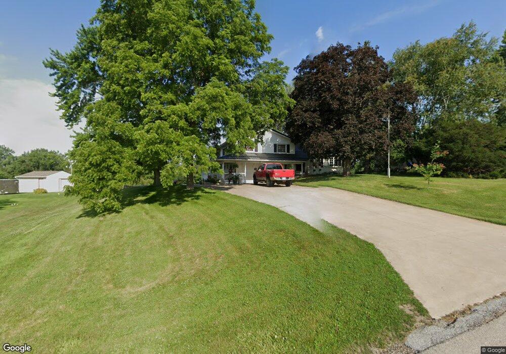
710 N Utah Ave Davenport, IA 52804
Outer Davenport/Bettendorf NeighborhoodEstimated Value: $314,000 - $465,256
3
Beds
5
Baths
2,136
Sq Ft
$186/Sq Ft
Est. Value
About This Home
This home is located at 710 N Utah Ave, Davenport, IA 52804 and is currently estimated at $398,314, approximately $186 per square foot. 710 N Utah Ave is a home located in Scott County with nearby schools including Jackson Elementary School, Walcott Intermediate School, and West High School.
Ownership History
Date
Name
Owned For
Owner Type
Purchase Details
Closed on
Jan 1, 2025
Sold by
Behrens John T and Behrens Kelly S
Bought by
John T Behrens Trust and Kelly S Behrens Trust
Current Estimated Value
Create a Home Valuation Report for This Property
The Home Valuation Report is an in-depth analysis detailing your home's value as well as a comparison with similar homes in the area
Home Values in the Area
Average Home Value in this Area
Purchase History
| Date | Buyer | Sale Price | Title Company |
|---|---|---|---|
| John T Behrens Trust | -- | None Listed On Document | |
| John T Behrens Trust | -- | None Listed On Document |
Source: Public Records
Tax History Compared to Growth
Tax History
| Year | Tax Paid | Tax Assessment Tax Assessment Total Assessment is a certain percentage of the fair market value that is determined by local assessors to be the total taxable value of land and additions on the property. | Land | Improvement |
|---|---|---|---|---|
| 2024 | $6,310 | $372,300 | $56,670 | $315,630 |
| 2023 | $6,236 | $372,300 | $56,670 | $315,630 |
| 2022 | $6,020 | $300,850 | $46,450 | $254,400 |
| 2021 | $6,020 | $289,490 | $46,450 | $243,040 |
| 2020 | $5,506 | $262,230 | $46,450 | $215,780 |
| 2019 | $5,692 | $262,230 | $46,450 | $215,780 |
| 2018 | $5,318 | $262,230 | $46,450 | $215,780 |
| 2017 | $5,510 | $250,880 | $46,450 | $204,430 |
| 2016 | $5,304 | $250,880 | $0 | $0 |
| 2015 | $5,304 | $245,790 | $0 | $0 |
| 2014 | $5,266 | $245,790 | $0 | $0 |
| 2013 | $5,170 | $0 | $0 | $0 |
| 2012 | -- | $254,490 | $49,940 | $204,550 |
Source: Public Records
Map
Nearby Homes
- 1335 N Utah Ave
- 5910 Austin Ave
- 1417 Rhinelander Dr
- 1536 Rhinelander Dr
- 1515 Rhinelander Dr
- 1729 Jenna Dr
- 5908 Alec Ave
- 1631 Westport Dr
- 1634 Rhinelander Ct
- 4738 W 11th St
- 5529 Baraboo Ct
- 5521 Baraboo Ct
- 5321 Friendship Dr Unit 5320
- 1210 Eagle's Crest Dr
- 4625 W 11th St
- 4703 W 13th St
- 1310 Calvin St
- 1215 Calvin St
- 1309 Calvin St
- 2104 Blanchard Ct