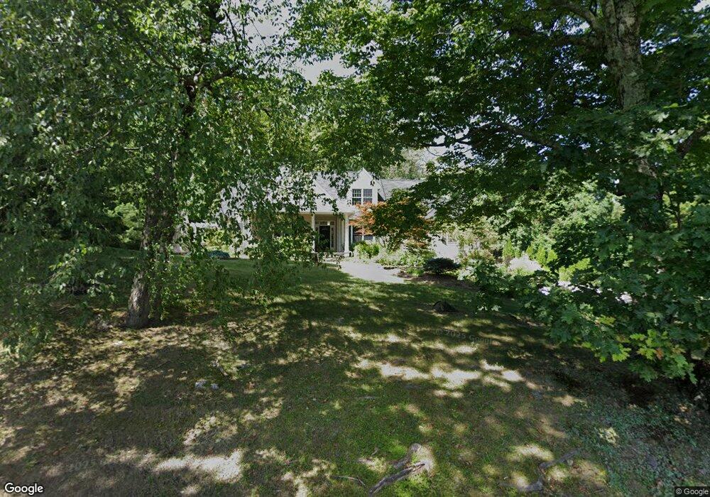
710 Roaring Brook Rd Conway, MA 01341
Estimated Value: $734,000 - $858,000
4
Beds
3
Baths
3,000
Sq Ft
$267/Sq Ft
Est. Value
About This Home
This home is located at 710 Roaring Brook Rd, Conway, MA 01341 and is currently estimated at $801,379, approximately $267 per square foot. 710 Roaring Brook Rd is a home located in Franklin County with nearby schools including Frontier Regional School.
Ownership History
Date
Name
Owned For
Owner Type
Purchase Details
Closed on
Nov 14, 2014
Sold by
Fontanetta Ronald and Fontanetta Diane G
Bought by
Fontanetta Ronald
Current Estimated Value
Purchase Details
Closed on
Mar 19, 2004
Sold by
Neale Jilldean A and Neale Kelly E
Bought by
Fontanetta Diane G and Fontanetta Ronald
Home Financials for this Owner
Home Financials are based on the most recent Mortgage that was taken out on this home.
Original Mortgage
$315,000
Interest Rate
5.71%
Mortgage Type
Purchase Money Mortgage
Purchase Details
Closed on
Jun 15, 1994
Sold by
Douglass Donald P and Dubis Patricia
Bought by
Neale Kelly E and Neale Jill Dean A
Create a Home Valuation Report for This Property
The Home Valuation Report is an in-depth analysis detailing your home's value as well as a comparison with similar homes in the area
Home Values in the Area
Average Home Value in this Area
Purchase History
| Date | Buyer | Sale Price | Title Company |
|---|---|---|---|
| Fontanetta Ronald | -- | -- | |
| Fontanetta Diane G | $450,000 | -- | |
| Neale Kelly E | $39,000 | -- |
Source: Public Records
Mortgage History
| Date | Status | Borrower | Loan Amount |
|---|---|---|---|
| Previous Owner | Neale Kelly E | $315,000 | |
| Previous Owner | Neale Kelly E | $250,000 |
Source: Public Records
Tax History
| Year | Tax Paid | Tax Assessment Tax Assessment Total Assessment is a certain percentage of the fair market value that is determined by local assessors to be the total taxable value of land and additions on the property. | Land | Improvement |
|---|---|---|---|---|
| 2025 | $10,478 | $725,600 | $110,100 | $615,500 |
| 2024 | $9,368 | $571,200 | $99,800 | $471,400 |
| 2023 | $9,796 | $571,200 | $99,800 | $471,400 |
| 2022 | $9,524 | $530,600 | $94,100 | $436,500 |
| 2021 | $9,365 | $500,000 | $89,700 | $410,300 |
| 2020 | $9,157 | $488,100 | $89,300 | $398,800 |
| 2019 | $9,103 | $488,100 | $89,300 | $398,800 |
| 2018 | $9,030 | $488,100 | $89,300 | $398,800 |
| 2017 | $8,664 | $488,100 | $89,300 | $398,800 |
| 2016 | $8,450 | $506,600 | $77,900 | $428,700 |
| 2015 | $8,192 | $506,600 | $77,900 | $428,700 |
Source: Public Records
Map
Nearby Homes
- 71 Mathews Rd
- 15 Stillwater Rd
- 0 Maple St
- 90 Whately Rd
- 355 Greenfield Rd
- 24 Elm St
- 0 Greenfield Rd Unit 73472322
- 208 Greenfield Rd
- 26 S Main St
- 14 Sugarloaf St
- 41 Upper Rd
- 0 North St Unit 73407299
- 345 Greenfield Rd
- 15 Crestview Dr
- 92 Masterson Rd
- 18 Stage Rd
- 37 River Rd
- 0 Pocumtuck Dr Unit 73379330
- 79 State Rd
- 2930 Shelburne Falls Rd
- 770 Roaring Brook Rd
- 655 Roaring Brook Rd
- 2063 Roaring Brook Rd
- 622 Roaring Brook Rd
- 851 Roaring Brook Rd
- 800 Roaring Brook Rd
- 880 Roaring Brook Rd
- 901 Roaring Brook Rd
- 923 Roaring Brook Rd
- 938 Roaring Brook Rd
- 467 Roaring Brook Rd
- 949 Roaring Brook Rd
- 418 Roaring Brook Rd
- 416 Roaring Brook Rd
- 316 Roaring Brook Rd
- 1211 Roaring Brook Rd
- 0 Whately Rd Unit 30251245
- 381 Fields Hill Rd
- 453 Fields Hill Rd
- 221 Fields Hill Rd
Your Personal Tour Guide
Ask me questions while you tour the home.