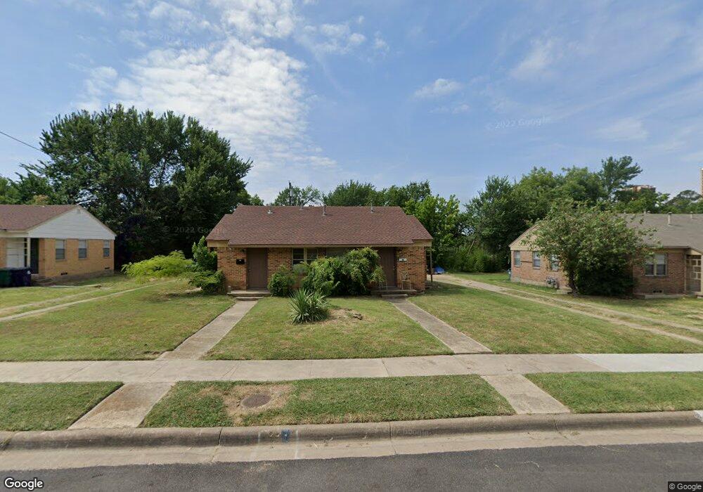
710 Roberts St Unit 712 Denton, TX 76209
Idiot's Hill NeighborhoodEstimated Value: $215,233 - $399,000
4
Beds
2
Baths
1,330
Sq Ft
$229/Sq Ft
Est. Value
About This Home
This home is located at 710 Roberts St Unit 712, Denton, TX 76209 and is currently estimated at $305,058, approximately $229 per square foot. 710 Roberts St Unit 712 is a home located in Denton County with nearby schools including Nette Shultz Elementary School, Strickland Middle School, and Billy Ryan High School.
Ownership History
Date
Name
Owned For
Owner Type
Purchase Details
Closed on
Dec 21, 2015
Sold by
Fourth Little Piggy Enterprises Llc
Bought by
Denton Affordable Housing Corporation
Current Estimated Value
Home Financials for this Owner
Home Financials are based on the most recent Mortgage that was taken out on this home.
Original Mortgage
$324,105
Outstanding Balance
$263,575
Interest Rate
4.75%
Mortgage Type
Adjustable Rate Mortgage/ARM
Estimated Equity
$41,483
Purchase Details
Closed on
Sep 1, 1997
Sold by
Hundley Estelle M and Pemberton Estelle M
Bought by
Pemberton Partners Ltd
Create a Home Valuation Report for This Property
The Home Valuation Report is an in-depth analysis detailing your home's value as well as a comparison with similar homes in the area
Home Values in the Area
Average Home Value in this Area
Purchase History
| Date | Buyer | Sale Price | Title Company |
|---|---|---|---|
| Denton Affordable Housing Corporation | -- | None Available | |
| Pemberton Partners Ltd | -- | -- |
Source: Public Records
Mortgage History
| Date | Status | Borrower | Loan Amount |
|---|---|---|---|
| Open | Denton Affordable Housing Corporation | $324,105 |
Source: Public Records
Tax History Compared to Growth
Tax History
| Year | Tax Paid | Tax Assessment Tax Assessment Total Assessment is a certain percentage of the fair market value that is determined by local assessors to be the total taxable value of land and additions on the property. | Land | Improvement |
|---|---|---|---|---|
| 2025 | -- | $142,556 | $54,468 | $88,088 |
| 2024 | $3,182 | $164,864 | $54,468 | $110,396 |
| 2023 | $3,287 | $172,167 | $54,468 | $117,699 |
| 2022 | $2,738 | $128,978 | $54,468 | $74,510 |
| 2021 | $2,463 | $110,812 | $34,043 | $76,769 |
| 2020 | $2,584 | $113,068 | $34,043 | $79,025 |
| 2019 | $2,922 | $122,480 | $34,043 | $88,437 |
| 2018 | $2,150 | $89,017 | $30,638 | $58,379 |
| 2017 | $2,020 | $81,736 | $22,128 | $59,608 |
| 2016 | $2,144 | $86,753 | $22,128 | $64,625 |
| 2015 | -- | $74,984 | $22,667 | $52,317 |
| 2014 | -- | $79,253 | $25,689 | $53,564 |
| 2013 | -- | $81,485 | $25,689 | $55,796 |
Source: Public Records
Map
Nearby Homes
- 633 Woodland St
- 2002 Cherrywood Ln
- 1302 Greenwood Dr
- 1600 N Ruddell St
- 2010 N Locust St
- 2012 N Locust St
- 2712 Winchester Ct
- 000 Fm 426
- 1425 Mingo Rd
- 605 Cordova Cir
- 2603 Sherwood St
- 1506 Seminole Ave
- 810 N Locust St
- 2425 N Locust St
- 2207 N Elm St
- 1420 Mistywood Ln
- 1717 N Locust St
- 1503 Oakland St Unit 7
- 2621 N Locust St
- 2200 Bolivar St
- 714 Roberts St Unit 716
- 706 Roberts St Unit 708
- 707 Woodland St Unit 709
- 709 Woodland St
- 718 Roberts St Unit 720
- 703 Woodland St
- 713 Woodland St
- 702 Roberts St Unit 704
- 715 Roberts St
- 722 Roberts St Unit 7
- 709 Roberts St
- 715 Woodland St
- 617 Roberts St
- 705 Roberts St
- 717 Roberts St
- 719 Woodland St Unit 721
- 721 Woodland St
- 701 Roberts St
- 637 Woodland St
- 726 Roberts St