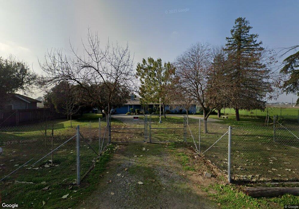
710 S West Ave Fresno, CA 93706
Edison NeighborhoodEstimated Value: $294,000 - $484,000
3
Beds
2
Baths
1,348
Sq Ft
$280/Sq Ft
Est. Value
About This Home
This home is located at 710 S West Ave, Fresno, CA 93706 and is currently estimated at $376,882, approximately $279 per square foot. 710 S West Ave is a home located in Fresno County with nearby schools including Columbia Elementary School, Rutherford B. Gaston Sr. Middle, and Edison High School.
Ownership History
Date
Name
Owned For
Owner Type
Purchase Details
Closed on
Jun 7, 1994
Sold by
Villalpando Joe S M and Villalpando Noraima L
Bought by
Spears Leroy and Spears Sharon
Current Estimated Value
Home Financials for this Owner
Home Financials are based on the most recent Mortgage that was taken out on this home.
Original Mortgage
$95,880
Interest Rate
8.65%
Mortgage Type
Assumption
Create a Home Valuation Report for This Property
The Home Valuation Report is an in-depth analysis detailing your home's value as well as a comparison with similar homes in the area
Home Values in the Area
Average Home Value in this Area
Purchase History
| Date | Buyer | Sale Price | Title Company |
|---|---|---|---|
| Spears Leroy | $98,000 | Fidelity National Title Ins |
Source: Public Records
Mortgage History
| Date | Status | Borrower | Loan Amount |
|---|---|---|---|
| Previous Owner | Spears Leroy | $95,880 |
Source: Public Records
Tax History Compared to Growth
Tax History
| Year | Tax Paid | Tax Assessment Tax Assessment Total Assessment is a certain percentage of the fair market value that is determined by local assessors to be the total taxable value of land and additions on the property. | Land | Improvement |
|---|---|---|---|---|
| 2025 | $3,332 | $156,252 | $16,851 | $139,401 |
| 2023 | $3,294 | $150,187 | $16,198 | $133,989 |
| 2022 | $3,268 | $147,243 | $15,881 | $131,362 |
| 2021 | $3,216 | $144,357 | $15,570 | $128,787 |
| 2020 | $3,157 | $142,878 | $15,411 | $127,467 |
| 2019 | $3,093 | $140,077 | $15,109 | $124,968 |
| 2018 | $3,049 | $137,331 | $14,813 | $122,518 |
| 2017 | $3,656 | $134,639 | $14,523 | $120,116 |
| 2016 | $1,646 | $132,000 | $14,239 | $117,761 |
| 2015 | $1,621 | $130,019 | $14,026 | $115,993 |
| 2014 | $1,589 | $127,473 | $13,752 | $113,721 |
Source: Public Records
Map
Nearby Homes
- 1800 W Dan Ronquillo Dr
- 511 S Teilman Ave
- 618 S Hughes Ave
- 939 S Arthur Ave
- 0 Whitesbridge Ave Unit N. of W. Church Ave.
- 924 W Myers Ave
- 356 W Strother Ave
- 0 Moc: Mission Ranch Unit 629384
- 5 E Oleander Ave
- 34 E O'Neil Ave
- 337 S Plumas St
- 54 E Kearney Blvd
- 209 W Eden Ave
- 23 E Strother Ave
- 119 W Eden Ave
- 343 N Delno Ave
- 236 E Whitesbridge Ave
- 3045 W Tuolumne St
- 1667 S Plumas St
- 1 N Marks Ave Unit 123
- 820 S West Ave
- 808 S West Ave
- 840 S West Ave
- 1333 W Whitesbridge Ave
- 1333 W Whites Bridge Ave
- 1108 S Ila Ave
- 1111 S Ila Ave
- 1107 S West Ave
- 1115 S Warren Ave
- 1118 S Ila Ave
- 120 W Chandler Ave
- 1121 S Ila Ave
- 1504 W La Sierra Dr
- 1522 W La Sierra Dr
- 1128 S Ila Ave
- 1127 S Warren Ave
- 1131 S Ila Ave
- 1540 W La Sierra Dr
- 945 S Crystal Ave
- 1138 S Ila Ave