7104 Rickey Rd Kansas City, MO 64133
Little Blue Valley NeighborhoodEstimated Value: $215,000 - $274,946
3
Beds
2
Baths
1,219
Sq Ft
$191/Sq Ft
Est. Value
About This Home
This home is located at 7104 Rickey Rd, Kansas City, MO 64133 and is currently estimated at $232,237, approximately $190 per square foot. 7104 Rickey Rd is a home located in Jackson County with nearby schools including Robinson Elementary School and Raytown Central Middle School.
Ownership History
Date
Name
Owned For
Owner Type
Purchase Details
Closed on
Aug 31, 2007
Sold by
Phillips John D and Phillips Sandra K
Bought by
Phillips John D and Phillips Sandra K
Current Estimated Value
Home Financials for this Owner
Home Financials are based on the most recent Mortgage that was taken out on this home.
Original Mortgage
$102,850
Outstanding Balance
$65,616
Interest Rate
6.72%
Mortgage Type
Stand Alone Refi Refinance Of Original Loan
Estimated Equity
$166,621
Purchase Details
Closed on
May 25, 2005
Sold by
Smith Brian E and Smith Colleen M
Bought by
Phillips John D and Phillips Sandra K
Home Financials for this Owner
Home Financials are based on the most recent Mortgage that was taken out on this home.
Original Mortgage
$90,950
Interest Rate
8.75%
Mortgage Type
Fannie Mae Freddie Mac
Create a Home Valuation Report for This Property
The Home Valuation Report is an in-depth analysis detailing your home's value as well as a comparison with similar homes in the area
Home Values in the Area
Average Home Value in this Area
Purchase History
| Date | Buyer | Sale Price | Title Company |
|---|---|---|---|
| Phillips John D | -- | None Available | |
| Phillips John D | -- | Coffelt Land Title Inc |
Source: Public Records
Mortgage History
| Date | Status | Borrower | Loan Amount |
|---|---|---|---|
| Open | Phillips John D | $102,850 | |
| Closed | Phillips John D | $90,950 |
Source: Public Records
Tax History Compared to Growth
Tax History
| Year | Tax Paid | Tax Assessment Tax Assessment Total Assessment is a certain percentage of the fair market value that is determined by local assessors to be the total taxable value of land and additions on the property. | Land | Improvement |
|---|---|---|---|---|
| 2025 | $2,621 | $21,609 | $10,752 | $10,857 |
| 2024 | $2,621 | $28,956 | $4,343 | $24,613 |
| 2023 | $2,604 | $28,956 | $3,154 | $25,802 |
| 2022 | $1,529 | $16,340 | $1,254 | $15,086 |
| 2021 | $1,528 | $16,340 | $1,254 | $15,086 |
| 2020 | $1,470 | $15,526 | $1,254 | $14,272 |
| 2019 | $1,442 | $15,526 | $1,254 | $14,272 |
| 2018 | $1,206 | $13,042 | $3,179 | $9,863 |
| 2017 | $1,206 | $13,042 | $3,179 | $9,863 |
| 2016 | $1,168 | $12,715 | $1,323 | $11,392 |
| 2014 | $1,172 | $12,715 | $1,323 | $11,392 |
Source: Public Records
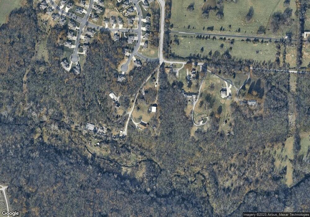
Map
Nearby Homes
- 12801 Rickey Rd
- 6828 Vermont Ave
- 6710 Woodson Rd
- 13404 Rickey Rd
- 12101 E 65th Ct
- 11808 E 74th Terrace
- 6812 Wildwood Dr
- 7411 Englewood Ln
- 7200 Sterling Ave
- 7236 Crisp Ave
- 11601 E 75th St
- 7308 Crisp Ave
- 7539 Westridge Rd
- 6716 Sterling Ave
- 6727 Harvard Ave
- 7007 Lakeshore Dr
- 10920 E 71st Terrace
- 6322 Norwood Ct
- 11013 E 74th St
- 6716 Appleton Ave
- 7100 Rickey Rd
- 12151 Rickey Rd
- 6831 Larson Ave
- 6827 Larson Ave
- 12809 Rickey Rd
- 12807 Rickey Rd
- 6828 Larson Ave
- 6819 Larson Ave
- 6824 Larson Ave
- 6820 Larson Ave
- 12811 Rickey Rd
- 6815 Larson Ave
- 6833 Woodside Ave
- 12209 E 68th Terrace
- 12205 E 68th Terrace
- 12815 Rickey Rd
- 6809 Larson Ave
- 6829 Woodside Ave
- 6804 Larson Ave
- 6825 Woodside Ave