7105 Appaloosa Rd Shepherd, MT 59079
Estimated Value: $367,113 - $431,000
4
Beds
2
Baths
1,200
Sq Ft
$339/Sq Ft
Est. Value
About This Home
This home is located at 7105 Appaloosa Rd, Shepherd, MT 59079 and is currently estimated at $407,278, approximately $339 per square foot. 7105 Appaloosa Rd is a home located in Yellowstone County with nearby schools including Shepherd Elementary School, Shepherd Middle School, and Shepherd High School.
Ownership History
Date
Name
Owned For
Owner Type
Purchase Details
Closed on
Jul 13, 2007
Sold by
Bivens Grover L
Bought by
Cooney Jan
Current Estimated Value
Home Financials for this Owner
Home Financials are based on the most recent Mortgage that was taken out on this home.
Original Mortgage
$145,035
Outstanding Balance
$90,225
Interest Rate
6.41%
Mortgage Type
Unknown
Estimated Equity
$317,053
Create a Home Valuation Report for This Property
The Home Valuation Report is an in-depth analysis detailing your home's value as well as a comparison with similar homes in the area
Home Values in the Area
Average Home Value in this Area
Purchase History
| Date | Buyer | Sale Price | Title Company |
|---|---|---|---|
| Cooney Jan | -- | Stewart Title Of Billings |
Source: Public Records
Mortgage History
| Date | Status | Borrower | Loan Amount |
|---|---|---|---|
| Open | Cooney Jan | $145,035 |
Source: Public Records
Tax History Compared to Growth
Tax History
| Year | Tax Paid | Tax Assessment Tax Assessment Total Assessment is a certain percentage of the fair market value that is determined by local assessors to be the total taxable value of land and additions on the property. | Land | Improvement |
|---|---|---|---|---|
| 2025 | $702 | $383,400 | $64,500 | $318,900 |
| 2024 | $702 | $335,700 | $52,700 | $283,000 |
| 2023 | $1,621 | $335,700 | $52,700 | $283,000 |
| 2022 | $1,984 | $256,900 | $0 | $0 |
| 2021 | $2,537 | $256,900 | $0 | $0 |
| 2020 | $2,420 | $236,500 | $0 | $0 |
| 2019 | $2,010 | $236,500 | $0 | $0 |
| 2018 | $2,094 | $232,400 | $0 | $0 |
| 2017 | $1,066 | $232,400 | $0 | $0 |
| 2016 | $1,175 | $232,500 | $0 | $0 |
| 2015 | $1,172 | $232,500 | $0 | $0 |
| 2014 | $424 | $102,820 | $0 | $0 |
Source: Public Records
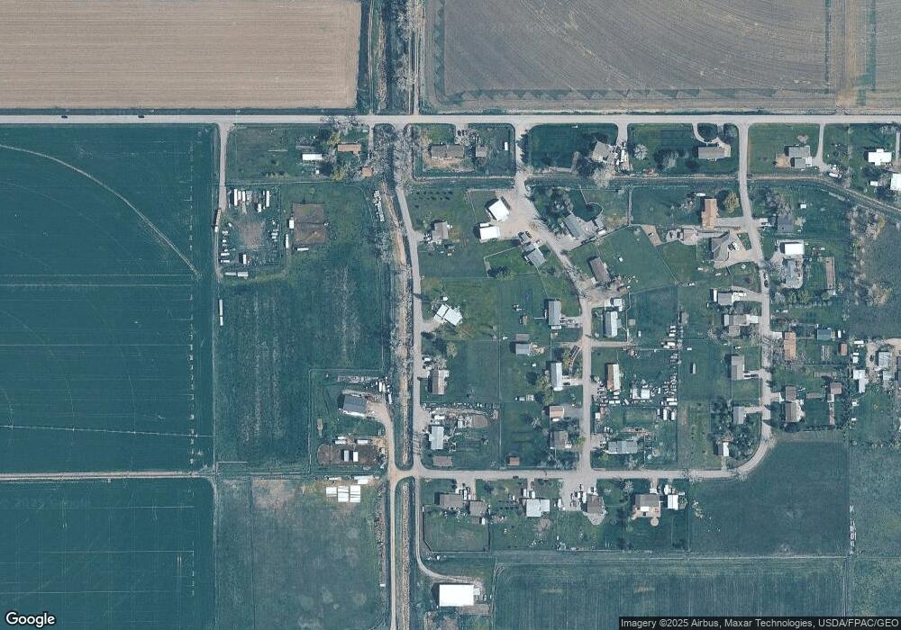
Map
Nearby Homes
- 7133 Mustang Rd
- 5358 Yeoman Rd
- 4935 Lewies Way
- 4820 Maribrooke Rd
- 8020 Wade St
- 5652 Bengston Rd
- 7306 Kendra Lynn Dr
- 5840,5850,5904 Lunder Ln
- 3863 Glenn Edward Rd
- L5B4 Trumbo Cir
- L4B4 Trumbo Cir
- L3B4 Trumbo Cir
- L2B4 True Grit St
- L1B4 True Grit St
- L12B3 Molly Dr
- L11B3 High Noon Dr
- 6447 US Highway 312
- L13B2 High Noon Dr
- L13B3 Molly Dr
- L16B3 True Grit St
- 7108 Mustang Rd
- 7129 Appaloosa Rd
- 7041 Appaloosa Rd
- 7132 Mustang Rd
- 7042 Mustang Rd
- 7114 Appaloosa Rd
- 7027 Appaloosa Rd
- 7119 Mustang Rd
- 7026 Appaloosa Rd
- 7105 Mustang Rd
- 5208 Yeoman Rd
- 7028 Mustang Rd
- 7043 Mustang Rd
- 5208 Percheron Rd
- 5242 Yeoman Rd
- 5303 Percheron Rd
- 5240 Percheron Rd
- 7042 Bronco Rd
- 7130 Bronco Rd
- 5308 Percheron Rd