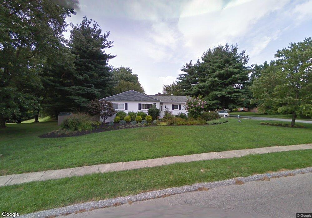
7106 Pheasant Cross Dr Baltimore, MD 21209
Estimated Value: $656,098 - $682,000
--
Bed
3
Baths
1,780
Sq Ft
$375/Sq Ft
Est. Value
About This Home
This home is located at 7106 Pheasant Cross Dr, Baltimore, MD 21209 and is currently estimated at $667,525, approximately $375 per square foot. 7106 Pheasant Cross Dr is a home located in Baltimore County with nearby schools including Summit Park Elementary, Pikesville Middle School, and Pikesville High School.
Ownership History
Date
Name
Owned For
Owner Type
Purchase Details
Closed on
Sep 26, 2024
Sold by
Katz Steven M and Katz Myra M
Bought by
Wealcatch David
Current Estimated Value
Home Financials for this Owner
Home Financials are based on the most recent Mortgage that was taken out on this home.
Original Mortgage
$495,000
Outstanding Balance
$489,796
Interest Rate
6.35%
Mortgage Type
New Conventional
Estimated Equity
$177,729
Purchase Details
Closed on
Apr 25, 1988
Sold by
Feit Marjorie F
Bought by
Katz Steven M and Katz Myra M
Create a Home Valuation Report for This Property
The Home Valuation Report is an in-depth analysis detailing your home's value as well as a comparison with similar homes in the area
Home Values in the Area
Average Home Value in this Area
Purchase History
| Date | Buyer | Sale Price | Title Company |
|---|---|---|---|
| Wealcatch David | $660,000 | Forward Title | |
| Wealcatch David | $660,000 | Forward Title | |
| Katz Steven M | $217,000 | -- |
Source: Public Records
Mortgage History
| Date | Status | Borrower | Loan Amount |
|---|---|---|---|
| Open | Wealcatch David | $495,000 | |
| Closed | Wealcatch David | $495,000 |
Source: Public Records
Tax History Compared to Growth
Tax History
| Year | Tax Paid | Tax Assessment Tax Assessment Total Assessment is a certain percentage of the fair market value that is determined by local assessors to be the total taxable value of land and additions on the property. | Land | Improvement |
|---|---|---|---|---|
| 2025 | $5,543 | $391,000 | $131,100 | $259,900 |
| 2024 | $5,543 | $379,533 | $0 | $0 |
| 2023 | $2,739 | $368,067 | $0 | $0 |
| 2022 | $5,276 | $356,600 | $131,100 | $225,500 |
| 2021 | $4,621 | $342,567 | $0 | $0 |
| 2020 | $4,621 | $328,533 | $0 | $0 |
| 2019 | $4,353 | $314,500 | $131,100 | $183,400 |
| 2018 | $4,396 | $312,467 | $0 | $0 |
| 2017 | $126 | $310,433 | $0 | $0 |
| 2016 | $3,493 | $308,400 | $0 | $0 |
| 2015 | $3,493 | $297,767 | $0 | $0 |
| 2014 | $3,493 | $287,133 | $0 | $0 |
Source: Public Records
Map
Nearby Homes
- 7203 Rockland Hills Dr Unit 210
- 2720 Quarry Heights Way
- 2319 Mellow Ct
- 33 Jones Valley Cir
- 2 Tyler Falls Ct Unit B
- 6832 Hayley Ridge Way
- 13 Suntop Ct Unit 302
- 7 Windblown Ct Unit 201
- 3 Windblown Ct Unit 102
- 2837 Katewood Ct Unit 6
- 107 Windblown Ct
- 6907 Jones View Dr Unit 3A
- 6909 Jones View Dr Unit 1A
- 3133 Katewood Ct
- 3137 Katewood Ct
- 2331 Old Court Rd Unit 506
- 2331 Old Court Rd Unit 201
- 2419 Sylvale Rd
- 7400 Travertine Dr Unit 106
- 2009 Heritage Dr
- 7202 Denberg Rd
- 7104 Pheasant Cross Dr
- 7201 Denberg Rd
- 2202 Oxeye Rd
- 7204 Denberg Rd
- 7107 Pheasant Cross Dr
- 7105 Pheasant Cross Dr
- 7109 Pheasant Cross Dr
- 7203 Denberg Rd
- 2204 Oxeye Rd
- 7206 Denberg Rd
- 7110 Pheasant Cross Dr
- 7103 Pheasant Cross Dr
- 7111 Pheasant Cross Dr
- 2201 Oxeye Rd
- 2117 Burdock Rd
- 2206 Oxeye Rd
- 4 Mandel Ct
- 6 Mandel Ct
- 7112 Pheasant Cross Dr