--
Bed
--
Bath
1,526
Sq Ft
10,759
Sq Ft Lot
About This Home
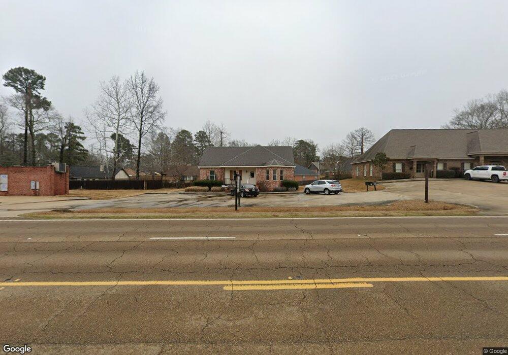
This home is located at 7108 Siwell Rd, Byram, MS 39272. 7108 Siwell Rd is a home located in Hinds County with nearby schools including Gary Road Elementary School, Gary Road Intermediate School, and Byram Middle School.
Ownership History
Date
Name
Owned For
Owner Type
Purchase Details
Closed on
Oct 4, 2021
Sold by
Clark Randy A
Bought by
Bm Enterprise Llc
Home Financials for this Owner
Home Financials are based on the most recent Mortgage that was taken out on this home.
Original Mortgage
$180,000
Outstanding Balance
$113,975
Interest Rate
2.8%
Mortgage Type
Purchase Money Mortgage
Purchase Details
Closed on
Dec 4, 2009
Sold by
Forest Wood Utility Co Inc
Bought by
Clark Randy A
Home Financials for this Owner
Home Financials are based on the most recent Mortgage that was taken out on this home.
Original Mortgage
$110,234
Interest Rate
4.98%
Mortgage Type
Commercial
Create a Home Valuation Report for This Property
The Home Valuation Report is an in-depth analysis detailing your home's value as well as a comparison with similar homes in the area
Home Values in the Area
Average Home Value in this Area
Purchase History
| Date | Buyer | Sale Price | Title Company |
|---|---|---|---|
| Bm Enterprise Llc | -- | None Available | |
| Clark Randy A | -- | -- |
Source: Public Records
Mortgage History
| Date | Status | Borrower | Loan Amount |
|---|---|---|---|
| Open | Bm Enterprise Llc | $180,000 | |
| Previous Owner | Clark Randy A | $110,234 |
Source: Public Records
Tax History Compared to Growth
Tax History
| Year | Tax Paid | Tax Assessment Tax Assessment Total Assessment is a certain percentage of the fair market value that is determined by local assessors to be the total taxable value of land and additions on the property. | Land | Improvement |
|---|---|---|---|---|
| 2025 | $3,873 | $24,758 | $6,750 | $18,008 |
| 2024 | $3,873 | $24,758 | $6,750 | $18,008 |
| 2023 | $3,873 | $24,429 | $6,750 | $17,679 |
| 2022 | $3,758 | $24,429 | $6,750 | $17,679 |
| 2021 | $3,709 | $24,429 | $6,750 | $17,679 |
| 2020 | $3,611 | $24,102 | $6,750 | $17,352 |
| 2019 | $3,594 | $24,102 | $6,750 | $17,352 |
| 2018 | $3,594 | $24,102 | $6,750 | $17,352 |
| 2017 | $3,527 | $24,102 | $6,750 | $17,352 |
| 2016 | $3,527 | $24,102 | $6,750 | $17,352 |
| 2015 | $3,281 | $22,418 | $6,750 | $15,668 |
| 2014 | $3,235 | $22,418 | $6,750 | $15,668 |
Source: Public Records
Map
Nearby Homes
- 640 Statesman Dr
- 0 Byram Place
- 310 Byram Place Lot: Unit A
- 1060 Lake Dockery Rd
- 125 Churchill Place
- 737 Forest Woods Dr Unit 48
- 3118 Tynes Dr
- 724 Forest Woods Dr
- 3208 Ryan Cove
- 0 Henderson Rd Unit 4126215
- 3211 Ryan Cove
- 108 Forest Lake Dr
- 120 Gun Hill Cove
- 5733 Terry Rd
- 5846 Terry Rd
- 316 Southhaven Dr
- 0 Byram Pkwy
- 4954 Brookwood Place
- 0 Interstate 55
- 0 Southpointe Dr Unit 1336995
- 14 Brock Dr
- 12 Brock Dr
- 16 Brock Dr
- 937 W Lake Dockery Dr
- 8 Eastbrooke I Unit 8
- 18 Brock Dr
- 21 Brock Dr
- 19 Brock Dr
- 0 Northbrook Dr
- 0 Northbrook Cir Unit 43
- 0 Brooke Nicole Unit 35
- 0 Brooke Nicole Unit 35 1277230
- 0 Northbrook Cir Unit 43 1262140
- 0 Northbrook Cir Unit Lot 43 1181209
- 0 Northbrook Cir Unit LOT 43 1180816
- 23 Brock Dr
- 933 W Lake Dockery Dr
- 20 Brock Dr
- 3 Eastbrooke I
- 59 Lee Cove