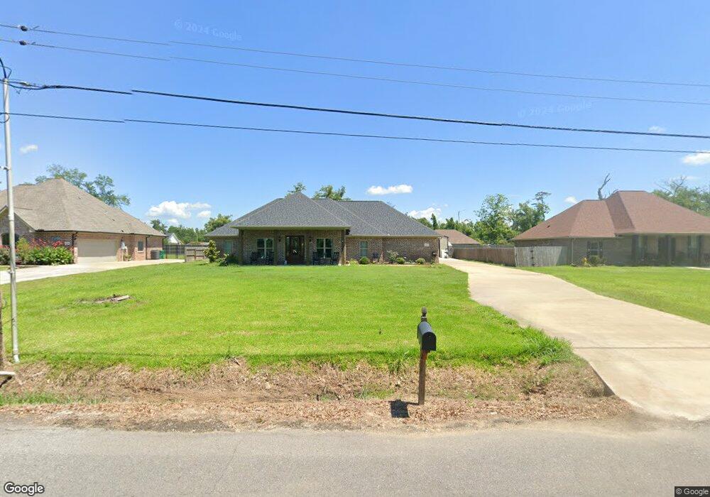
711 Bagdad Rd Westlake, LA 70669
Estimated Value: $261,000 - $377,000
--
Bed
--
Bath
--
Sq Ft
1,220
Sq Ft Lot
About This Home
This home is located at 711 Bagdad Rd, Westlake, LA 70669 and is currently estimated at $330,645. 711 Bagdad Rd is a home located in Calcasieu Parish with nearby schools including Westwood Elementary School, Western Heights Elementary School, and S.P. Arnett Middle School.
Ownership History
Date
Name
Owned For
Owner Type
Purchase Details
Closed on
Jan 18, 2019
Sold by
Nothnagel Llc
Bought by
Nordberg Grant H and Nordberg Kelsie L
Current Estimated Value
Home Financials for this Owner
Home Financials are based on the most recent Mortgage that was taken out on this home.
Original Mortgage
$244,500
Outstanding Balance
$214,965
Interest Rate
4.6%
Mortgage Type
New Conventional
Estimated Equity
$115,680
Purchase Details
Closed on
Sep 22, 2017
Sold by
Nothnagel Llc
Bought by
Hudson Paula Dee
Purchase Details
Closed on
Mar 18, 2016
Sold by
Davis Thomas J and Davis Thomas James
Bought by
Nothnagel Llc
Create a Home Valuation Report for This Property
The Home Valuation Report is an in-depth analysis detailing your home's value as well as a comparison with similar homes in the area
Home Values in the Area
Average Home Value in this Area
Purchase History
| Date | Buyer | Sale Price | Title Company |
|---|---|---|---|
| Nordberg Grant H | $274,500 | None Available | |
| Hudson Paula Dee | -- | -- | |
| Nothnagel Llc | $225,000 | None Available |
Source: Public Records
Mortgage History
| Date | Status | Borrower | Loan Amount |
|---|---|---|---|
| Open | Nordberg Grant H | $244,500 |
Source: Public Records
Tax History Compared to Growth
Tax History
| Year | Tax Paid | Tax Assessment Tax Assessment Total Assessment is a certain percentage of the fair market value that is determined by local assessors to be the total taxable value of land and additions on the property. | Land | Improvement |
|---|---|---|---|---|
| 2024 | $2,299 | $28,440 | $1,650 | $26,790 |
| 2023 | $2,299 | $28,440 | $1,650 | $26,790 |
| 2022 | $2,352 | $28,440 | $1,650 | $26,790 |
| 2021 | $2,142 | $27,050 | $1,650 | $25,400 |
| 2020 | $2,729 | $24,440 | $1,580 | $22,860 |
| 2019 | $3,024 | $26,170 | $770 | $25,400 |
| 2018 | $82 | $770 | $770 | $0 |
| 2017 | $508 | $4,610 | $2,130 | $2,480 |
| 2016 | $516 | $4,610 | $2,130 | $2,480 |
| 2015 | $516 | $4,610 | $2,130 | $2,480 |
Source: Public Records
Map
Nearby Homes
- 0 Mims Rd Unit SWL24003447
- 0 Mims Rd Unit Mims Rd 26-4577
- 0 Tbd Bagdad Rd
- 1931 Miller Ave
- 1951 Riviera Dr
- 637 River Rd
- 16 Riviera Dr
- 0 Riviera Dr Unit 26-4895
- 12 River Rd
- 345 Fred Lutz Rd
- 0 Dewitt St
- 1416 Miller Ave
- 2406 Miller Ave
- 601 River Rd
- 625 River Rd
- 649 River Rd
- 0 River Rd Unit SWL24005170
- 2034 Gus St
- 812 Miller Ave
- 125 Helen St
- 647 Bagdad Rd
- 639 Bagdad Rd
- 713 Bagdad Rd
- 495 Mims Rd
- 631 Bagdad Rd
- 633 Mims Rd
- 655 Bagdad Rd
- 505 Mims Rd
- 515 Mims Rd
- 629 Bagdad Rd
- 715 Bagdad Rd
- 0 Bagdad Rd Unit 143173
- 0 Bagdad Rd Unit 165681
- 0 Bagdad Rd Unit 165682
- 0 Bagdad Rd Unit 165999
- 0 Bagdad Rd Unit 165683
- 0 Bagdad Rd Unit 56852
- 0 Bagdad Rd Unit 56921
- 0 Bagdad Rd Unit 75150
- 0 Bagdad Rd Unit 72720