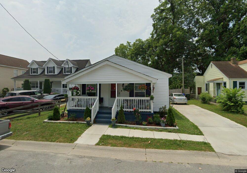
711 Battery Ave Suffolk, VA 23434
Holy Neck NeighborhoodEstimated Value: $208,000 - $227,714
3
Beds
2
Baths
1,165
Sq Ft
$189/Sq Ft
Est. Value
About This Home
This home is located at 711 Battery Ave, Suffolk, VA 23434 and is currently estimated at $220,429, approximately $189 per square foot. 711 Battery Ave is a home located in Suffolk City with nearby schools including Hillpoint Elementary School, Forest Glen Middle School, and Lakeland High School.
Ownership History
Date
Name
Owned For
Owner Type
Purchase Details
Closed on
Apr 22, 2021
Sold by
Ycapital Private Equity Inc
Bought by
Brown Stacey M
Current Estimated Value
Home Financials for this Owner
Home Financials are based on the most recent Mortgage that was taken out on this home.
Original Mortgage
$5,600
Outstanding Balance
$5,041
Interest Rate
2.95%
Mortgage Type
New Conventional
Estimated Equity
$215,388
Purchase Details
Closed on
Oct 2, 2020
Sold by
Gainey Anthony Leroy and Tucker Frank A
Bought by
Ycapital Private Equity Inc
Create a Home Valuation Report for This Property
The Home Valuation Report is an in-depth analysis detailing your home's value as well as a comparison with similar homes in the area
Home Values in the Area
Average Home Value in this Area
Purchase History
| Date | Buyer | Sale Price | Title Company |
|---|---|---|---|
| Brown Stacey M | $160,000 | Attorney | |
| Ycapital Private Equity Inc | $30,000 | Attorney |
Source: Public Records
Mortgage History
| Date | Status | Borrower | Loan Amount |
|---|---|---|---|
| Open | Brown Stacey M | $5,600 | |
| Open | Brown Stacey M | $157,102 |
Source: Public Records
Tax History
| Year | Tax Paid | Tax Assessment Tax Assessment Total Assessment is a certain percentage of the fair market value that is determined by local assessors to be the total taxable value of land and additions on the property. | Land | Improvement |
|---|---|---|---|---|
| 2025 | $2,653 | $205,900 | $45,300 | $160,600 |
| 2024 | $2,653 | $199,200 | $45,300 | $153,900 |
| 2023 | $2,524 | $190,000 | $43,100 | $146,900 |
| 2022 | $1,697 | $155,700 | $30,800 | $124,900 |
| 2021 | $1,482 | $133,500 | $24,600 | $108,900 |
| 2020 | $806 | $72,600 | $22,400 | $50,200 |
| 2019 | $806 | $72,600 | $22,400 | $50,200 |
| 2018 | $945 | $73,100 | $22,400 | $50,700 |
| 2017 | $782 | $73,100 | $22,400 | $50,700 |
| 2016 | $782 | $73,100 | $22,400 | $50,700 |
| 2015 | $526 | $75,500 | $22,400 | $53,100 |
| 2014 | $526 | $75,500 | $22,400 | $53,100 |
Source: Public Records
Map
Nearby Homes
- 721 Ashley Ave Unit A
- 814 Battery Ave
- 812 Battery Ave
- 608 Battery Ave
- 711 Brook Ave
- 603 Mason Ave
- 727 Brook Ave
- 731 Brook Ave
- 729 Brook Ave
- 532 Battery Ave
- 435 Wellons St
- 441 Wellons St
- 439 Wellons St
- 437 Wellons St
- 433 Wellons St
- 314 Linden Ave
- 309 Linden Ave
- 207 Causey Ave
- 212 Saint James Ave
- 215 Wellons St
- 709 Battery Ave
- 715 Battery Ave
- 707 Battery Ave
- 705 Battery Ave
- 708 Brook Ave
- 708 Battery Ave
- 712 Battery Ave
- 704 Brook Ave
- 701 Battery Ave
- 716 Battery Ave
- 706 Battery Ave
- 702 Brook Ave
- 718 Battery Ave
- 702 Battery Ave
- 720 Battery Ave
- 700 Battery Ave
- 633 Battery Ave
- 713 Ashley Ave
- 717 Brook Ave
- 707 Brook Ave
Your Personal Tour Guide
Ask me questions while you tour the home.